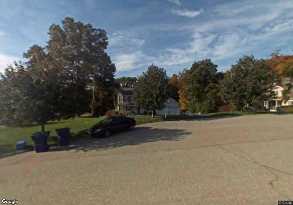
14 Memory Ln Waterford, CT 06385
Estimated Value: $592,000 - $740,000
4
Beds
4
Baths
2,221
Sq Ft
$294/Sq Ft
Est. Value
About This Home
This home is located at 14 Memory Ln, Waterford, CT 06385 and is currently estimated at $653,620, approximately $294 per square foot. 14 Memory Ln is a home located in New London County with nearby schools including Clark Lane Middle School, Waterford High School, and New London High School Multi-Magnet Campus.
Ownership History
Date
Name
Owned For
Owner Type
Purchase Details
Closed on
Apr 6, 2020
Sold by
Welch Leanne P and Welch Ronald P
Bought by
Welch Leanne P
Current Estimated Value
Purchase Details
Closed on
Jul 1, 1999
Sold by
Aldrich Glen
Bought by
Welch Ronald P and Briggs Leanne P
Home Financials for this Owner
Home Financials are based on the most recent Mortgage that was taken out on this home.
Original Mortgage
$220,000
Interest Rate
7.61%
Create a Home Valuation Report for This Property
The Home Valuation Report is an in-depth analysis detailing your home's value as well as a comparison with similar homes in the area
Home Values in the Area
Average Home Value in this Area
Purchase History
| Date | Buyer | Sale Price | Title Company |
|---|---|---|---|
| Welch Leanne P | -- | None Available | |
| Welch Ronald P | $85,000 | -- | |
| Welch Ronald P | $85,000 | -- |
Source: Public Records
Mortgage History
| Date | Status | Borrower | Loan Amount |
|---|---|---|---|
| Previous Owner | Welch Ronald P | $124,200 | |
| Previous Owner | Welch Ronald P | $220,000 |
Source: Public Records
Tax History Compared to Growth
Tax History
| Year | Tax Paid | Tax Assessment Tax Assessment Total Assessment is a certain percentage of the fair market value that is determined by local assessors to be the total taxable value of land and additions on the property. | Land | Improvement |
|---|---|---|---|---|
| 2025 | $7,288 | $311,990 | $90,720 | $221,270 |
| 2024 | $6,957 | $311,990 | $90,720 | $221,270 |
| 2023 | $6,614 | $311,990 | $90,720 | $221,270 |
| 2022 | $6,905 | $250,550 | $61,740 | $188,810 |
| 2021 | $6,925 | $250,550 | $61,740 | $188,810 |
| 2020 | $6,983 | $250,550 | $61,740 | $188,810 |
| 2019 | $7,010 | $250,550 | $61,740 | $188,810 |
| 2018 | $6,870 | $250,550 | $61,740 | $188,810 |
| 2017 | $6,882 | $254,620 | $61,740 | $192,880 |
| 2016 | $6,819 | $254,620 | $61,740 | $192,880 |
| 2015 | $6,577 | $254,620 | $61,740 | $192,880 |
| 2014 | $6,519 | $254,620 | $61,740 | $192,880 |
Source: Public Records
Map
Nearby Homes
- 127 Spithead Rd
- 164 Stoneheights Dr Unit 164
- 32 Stoneheights Dr Unit 32
- 26 Fulmore Dr
- 37 Spithead Rd
- 24 Stoneheights Dr
- 310 Boston Post Rd Unit 86
- 6 Fulmore Dr
- 27 Mullen Hill Rd
- 9 Arrowhead Trail
- 398 & 402 Boston Post Rd
- 398 Boston Post Rd
- 9 Rock Ridge Rd
- 139 Oswegatchie Rd
- 182 Oswegatchie Rd
- 5 Wilcox Ct
- 270 Boston Post Rd Unit 22
- 20 North Rd
- 37 South St
- 8 Wadsworth Ln