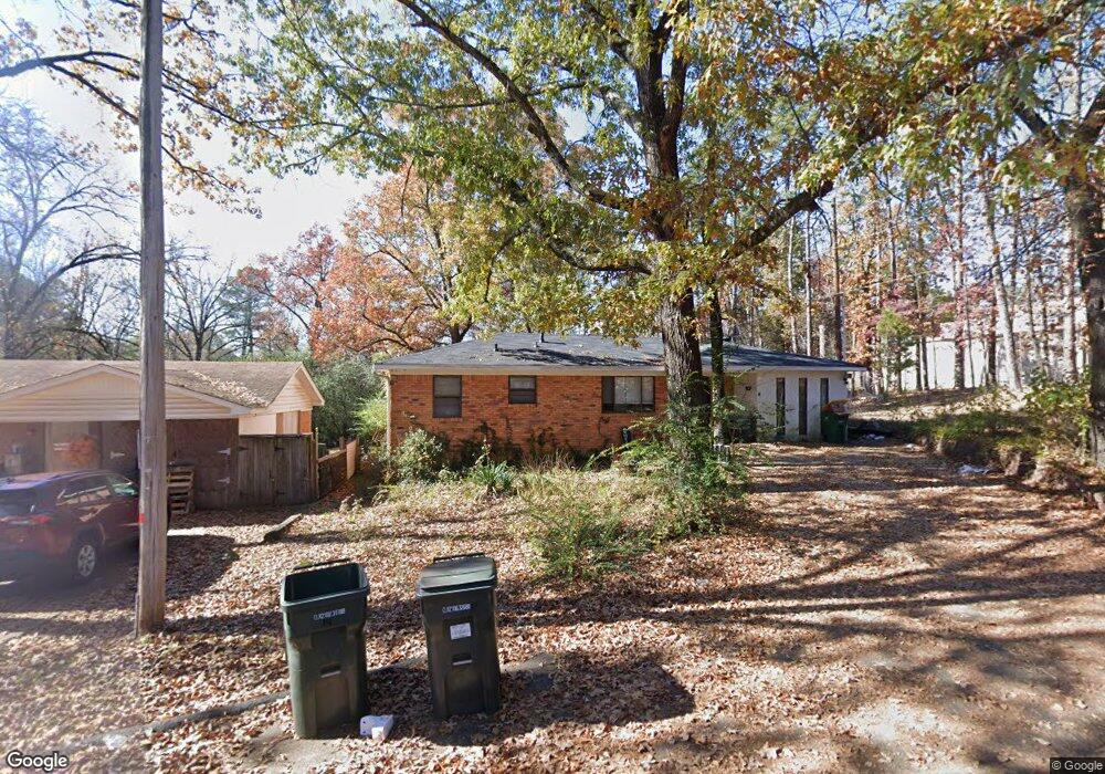
14 Michael Dr Little Rock, AR 72204
John Barrow NeighborhoodEstimated Value: $132,500 - $288,000
Studio
2
Baths
2,205
Sq Ft
$96/Sq Ft
Est. Value
About This Home
This home is located at 14 Michael Dr, Little Rock, AR 72204 and is currently estimated at $210,625, approximately $95 per square foot. 14 Michael Dr is a home located in Pulaski County with nearby schools including Brady Elementary School, J.A. Fair K8 Preparatory School, and Little Rock Southwest High School.
Ownership History
Date
Name
Owned For
Owner Type
Purchase Details
Closed on
Oct 12, 2005
Sold by
Richards Mary Patricia and Pendergrast Mary Patricia
Bought by
Richards Mry P
Current Estimated Value
Home Financials for this Owner
Home Financials are based on the most recent Mortgage that was taken out on this home.
Original Mortgage
$76,500
Interest Rate
6.12%
Mortgage Type
Stand Alone Refi Refinance Of Original Loan
Create a Home Valuation Report for This Property
The Home Valuation Report is an in-depth analysis detailing your home's value as well as a comparison with similar homes in the area
Home Values in the Area
Average Home Value in this Area
Purchase History
| Date | Buyer | Sale Price | Title Company |
|---|---|---|---|
| Richards Mry P | -- | -- |
Source: Public Records
Mortgage History
| Date | Status | Borrower | Loan Amount |
|---|---|---|---|
| Closed | Richards Mry P | $76,500 |
Source: Public Records
Tax History
| Year | Tax Paid | Tax Assessment Tax Assessment Total Assessment is a certain percentage of the fair market value that is determined by local assessors to be the total taxable value of land and additions on the property. | Land | Improvement |
|---|---|---|---|---|
| 2025 | $954 | $26,013 | $2,800 | $23,213 |
| 2024 | $954 | $26,013 | $2,800 | $23,213 |
| 2023 | $954 | $26,013 | $2,800 | $23,213 |
| 2022 | $954 | $26,013 | $2,800 | $23,213 |
| 2021 | $960 | $16,970 | $900 | $16,070 |
| 2020 | $579 | $16,970 | $900 | $16,070 |
| 2019 | $579 | $16,970 | $900 | $16,070 |
| 2018 | $604 | $16,970 | $900 | $16,070 |
| 2017 | $604 | $16,970 | $900 | $16,070 |
| 2016 | $604 | $20,920 | $2,700 | $18,220 |
| 2015 | $955 | $13,624 | $2,700 | $10,924 |
| 2014 | $955 | $13,624 | $2,700 | $10,924 |
Source: Public Records
Map
Nearby Homes
- 8200 Kanis Pines Dr
- 8116 Kanis Pines Dr
- Lot 8 Kanis Oaks Dr
- 8108 Kanis Pines Dr
- 8010 Kanis Oaks Dr
- 8127 Kanis Pines Dr
- 7921 Kanis Oaks Dr
- 1710 Village Lake Dr
- 1209 E Twin Lakes Dr
- 1800 Labette Manor Dr
- 8915 Cloverhill Rd
- 316 Brookpark Dr
- 1900 Labette Manor Dr
- 1406 E Twin Lakes Dr
- 8300 W 23rd St
- 7800 Choctaw Rd
- 3918 W 23rd St
- 2208 Singleton Cove
- 307 Sunnymeade Dr
- 9304 W 6th St
Your Personal Tour Guide
Ask me questions while you tour the home.