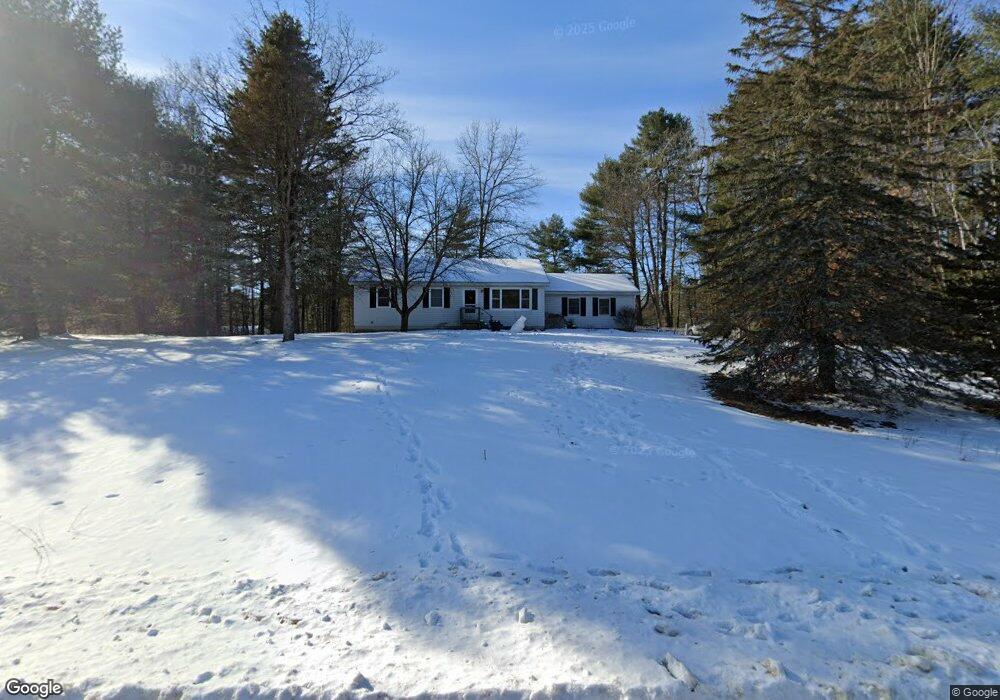
14 Michael Rd Fort Edward, NY 12828
Moreau NeighborhoodEstimated Value: $278,000 - $326,000
3
Beds
2
Baths
1
Sq Ft
$306,120/Sq Ft
Est. Value
About This Home
This home is located at 14 Michael Rd, Fort Edward, NY 12828 and is currently estimated at $306,120, approximately $306,120 per square foot. 14 Michael Rd is a home located in Saratoga County.
Create a Home Valuation Report for This Property
The Home Valuation Report is an in-depth analysis detailing your home's value as well as a comparison with similar homes in the area
Home Values in the Area
Average Home Value in this Area
Tax History Compared to Growth
Tax History
| Year | Tax Paid | Tax Assessment Tax Assessment Total Assessment is a certain percentage of the fair market value that is determined by local assessors to be the total taxable value of land and additions on the property. | Land | Improvement |
|---|---|---|---|---|
| 2024 | $3,376 | $265,000 | $55,000 | $210,000 |
| 2023 | $3,552 | $234,000 | $55,000 | $179,000 |
| 2022 | $2,967 | $199,000 | $43,700 | $155,300 |
| 2021 | $2,893 | $184,000 | $43,700 | $140,300 |
| 2020 | $2,701 | $170,000 | $43,700 | $126,300 |
| 2019 | $2,081 | $170,000 | $43,700 | $126,300 |
| 2018 | $2,636 | $170,000 | $43,700 | $126,300 |
| 2017 | $2,577 | $170,000 | $43,700 | $126,300 |
| 2016 | $2,557 | $170,000 | $43,700 | $126,300 |
Source: Public Records
Map
Nearby Homes
- 22 Oak View Dr
- 8 Coriander Dr
- 414 Reynolds Rd
- 550 E Selfridge Rd
- 408 Reynolds Rd
- 480 Selfridge Rd
- 516 Selfridge Rd
- 347 Diane Ln
- 570 Selfridge Rd
- 37 Curtis Ln
- 1384 State Route 9
- 18 Amber Ln
- 273 Gansevoort Rd
- 360 Selfridge Rd
- 350 Selfridge Rd
- 169 Reservoir Rd
- 7 Balsam Ln
- 330 Selfridge Rd
- 228 Reynolds Rd
- 151 Reservoir Rd