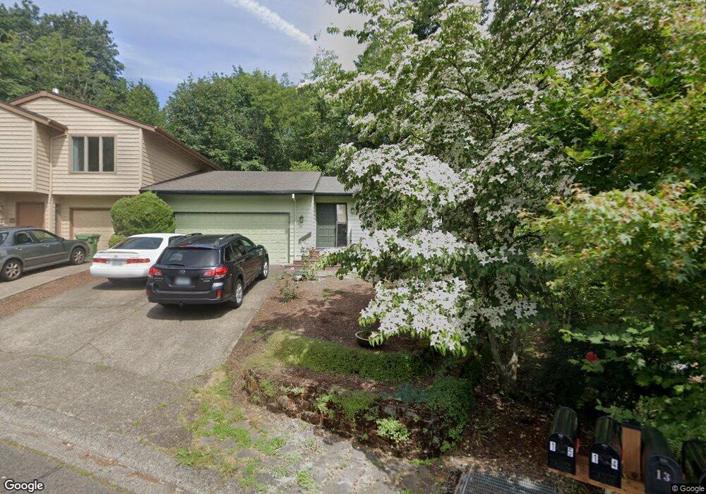
14 Mountain Cir Lake Oswego, OR 97035
Mountain Park NeighborhoodEstimated Value: $542,000 - $591,358
3
Beds
2
Baths
1,508
Sq Ft
$375/Sq Ft
Est. Value
About This Home
This home is located at 14 Mountain Cir, Lake Oswego, OR 97035 and is currently estimated at $565,590, approximately $375 per square foot. 14 Mountain Cir is a home located in Clackamas County with nearby schools including Oak Creek Elementary School, Lake Oswego Junior High School, and Lake Oswego Senior High School.
Ownership History
Date
Name
Owned For
Owner Type
Purchase Details
Closed on
Sep 24, 1998
Sold by
Clay David T and Anne Jones Clay E
Bought by
Abbott Michael D and Abbott Marlene L
Current Estimated Value
Home Financials for this Owner
Home Financials are based on the most recent Mortgage that was taken out on this home.
Original Mortgage
$185,640
Outstanding Balance
$38,593
Interest Rate
6.88%
Mortgage Type
VA
Estimated Equity
$526,997
Purchase Details
Closed on
Mar 10, 1997
Sold by
Etzel Spencer G and Etzel Connie M
Bought by
Clay David T and Anne Jones Clay E
Home Financials for this Owner
Home Financials are based on the most recent Mortgage that was taken out on this home.
Original Mortgage
$133,600
Interest Rate
7.9%
Create a Home Valuation Report for This Property
The Home Valuation Report is an in-depth analysis detailing your home's value as well as a comparison with similar homes in the area
Home Values in the Area
Average Home Value in this Area
Purchase History
| Date | Buyer | Sale Price | Title Company |
|---|---|---|---|
| Abbott Michael D | $182,000 | Pacific Nw Title | |
| Clay David T | $167,000 | Stewart Title |
Source: Public Records
Mortgage History
| Date | Status | Borrower | Loan Amount |
|---|---|---|---|
| Open | Abbott Michael D | $185,640 | |
| Previous Owner | Clay David T | $133,600 |
Source: Public Records
Tax History Compared to Growth
Tax History
| Year | Tax Paid | Tax Assessment Tax Assessment Total Assessment is a certain percentage of the fair market value that is determined by local assessors to be the total taxable value of land and additions on the property. | Land | Improvement |
|---|---|---|---|---|
| 2025 | $5,723 | $298,034 | -- | -- |
| 2024 | $5,571 | $289,354 | -- | -- |
| 2023 | $5,571 | $280,927 | $0 | $0 |
| 2022 | $5,247 | $272,745 | $0 | $0 |
| 2021 | $4,846 | $264,801 | $0 | $0 |
| 2020 | $4,724 | $257,089 | $0 | $0 |
| 2019 | $4,608 | $249,601 | $0 | $0 |
| 2018 | $4,382 | $242,331 | $0 | $0 |
| 2017 | $4,228 | $235,273 | $0 | $0 |
| 2016 | $3,850 | $228,420 | $0 | $0 |
| 2015 | $3,719 | $221,767 | $0 | $0 |
| 2014 | $3,671 | $215,308 | $0 | $0 |
Source: Public Records
Map
Nearby Homes
- 10 Mountain Cir
- 90 Wheatherstone Place
- 100 Kerr Pkwy Unit 34
- 4 Touchstone Unit 136
- 4 Touchstone Unit 132
- 4 Touchstone Unit 138
- 4 Touchstone Unit 141
- 50 Touchstone
- 6 Falstaff St
- 9 Bloch Terrace
- 2 Falstaff St
- 16 Othello St
- 14417 Orchard Springs Rd
- 12 Monticello Dr
- 13197 Thoma Rd
- 3853 Carman Dr
- 14488 Pfeifer Dr
- 13585 Goodall Rd
- 4426 Thunder Vista Ln
- 13652 Johnson Terrace Rd
- 15 Mountain Cir
- 12 Mountain Cir
- 16 Mountain Cir
- 11 Mountain Cr
- 11 Mountain Cir
- 13 Mountain Cir
- 17 Mountain Cir
- 9 Mountain Cir
- 18 Mountain Cir
- 18 Mountain Cr
- 19 Mountain Cr
- 8 Mountain Cir
- 19 Mountain Cir
- 7 Mountain Cir
- 60 Wheatherstone
- 62 Wheatherstone
- 20 Mountain Cir
- 5 Mountain Cir
- 40 Wheatherstone
- 6 Mountain Cir