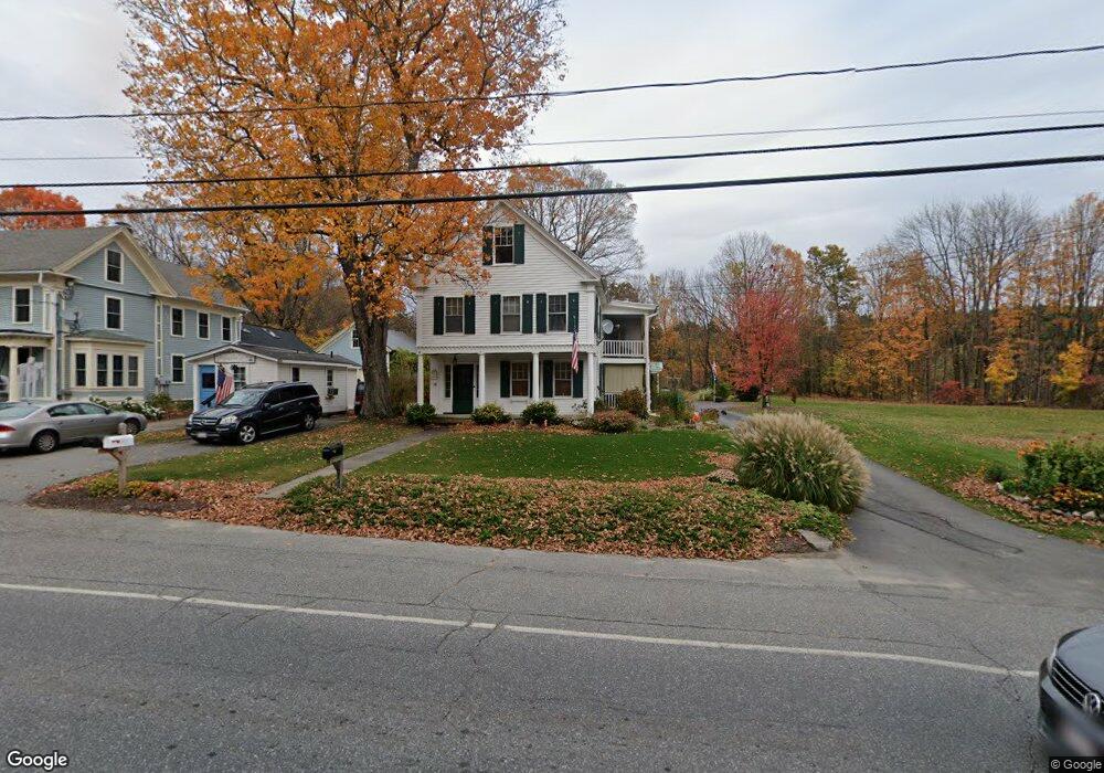
14 N Main St West Boylston, MA 01583
Estimated Value: $667,600 - $922,000
4
Beds
2
Baths
3,470
Sq Ft
$226/Sq Ft
Est. Value
About This Home
This home is located at 14 N Main St, West Boylston, MA 01583 and is currently estimated at $785,900, approximately $226 per square foot. 14 N Main St is a home located in Worcester County with nearby schools including Major Edwards Elementary School and West Boylston Junior/Senior High School.
Ownership History
Date
Name
Owned For
Owner Type
Purchase Details
Closed on
Jul 18, 1997
Sold by
Holmstrom Jenny M
Bought by
Bouchard Richard G and Bouchard Gayle W
Current Estimated Value
Create a Home Valuation Report for This Property
The Home Valuation Report is an in-depth analysis detailing your home's value as well as a comparison with similar homes in the area
Home Values in the Area
Average Home Value in this Area
Purchase History
| Date | Buyer | Sale Price | Title Company |
|---|---|---|---|
| Bouchard Richard G | $156,300 | -- |
Source: Public Records
Mortgage History
| Date | Status | Borrower | Loan Amount |
|---|---|---|---|
| Open | Bouchard Richard G | $50,000 | |
| Open | Bouchard Richard G | $172,000 | |
| Closed | Bouchard Richard G | $160,750 | |
| Closed | Bouchard Richard G | $149,000 |
Source: Public Records
Tax History Compared to Growth
Tax History
| Year | Tax Paid | Tax Assessment Tax Assessment Total Assessment is a certain percentage of the fair market value that is determined by local assessors to be the total taxable value of land and additions on the property. | Land | Improvement |
|---|---|---|---|---|
| 2025 | $85 | $610,900 | $98,500 | $512,400 |
| 2024 | $8,407 | $568,800 | $98,500 | $470,300 |
| 2023 | $7,848 | $503,700 | $97,800 | $405,900 |
| 2022 | $7,118 | $402,600 | $97,800 | $304,800 |
| 2021 | $7,271 | $393,900 | $94,500 | $299,400 |
| 2020 | $6,802 | $366,100 | $94,500 | $271,600 |
| 2019 | $6,407 | $339,900 | $94,500 | $245,400 |
| 2018 | $5,725 | $305,800 | $94,500 | $211,300 |
| 2017 | $5,749 | $305,800 | $94,500 | $211,300 |
| 2016 | $5,334 | $289,100 | $88,100 | $201,000 |
| 2015 | $5,286 | $288,200 | $87,200 | $201,000 |
Source: Public Records
Map
Nearby Homes
- 16 N Main St
- 20 Winthrop St
- 136 Sterling St Unit A3
- 287 Laurel St
- 0 Boutelle Rd
- 18 Laurel Ave
- 2 Lakeview Ave
- 156 Prospect St
- 21 Myrtle Ave
- 61 Boutelle Rd
- 0 North St
- 223 Worcester Rd
- 152 Worcester St Unit 8
- Lot 1 Manning St
- 54 Maple St
- 62 Maple St
- 4 Jewett Rd Unit B
- 4 Jewett Rd Unit A
- 39 Davidson Rd
- 15 N Cove Rd
- 18 N Main St
- 11 N Main St Unit 5
- 11 N Main St Unit 4
- 11 N Main St Unit 3
- 11 N Main St Unit 2
- 11 N Main St Unit 1
- 11 N Main St Unit B
- 11 N Main St
- 22 N Main St
- 24 N Main St
- 6 Green St
- 23 N Main St
- 8 May St
- 8 High St Unit 8
- 10 Green St
- 10 May St
- 10 May St Unit 1
- 0 Laurel St Unit 71338047
- 0 Laurel St Unit 30628939
- 12 High St