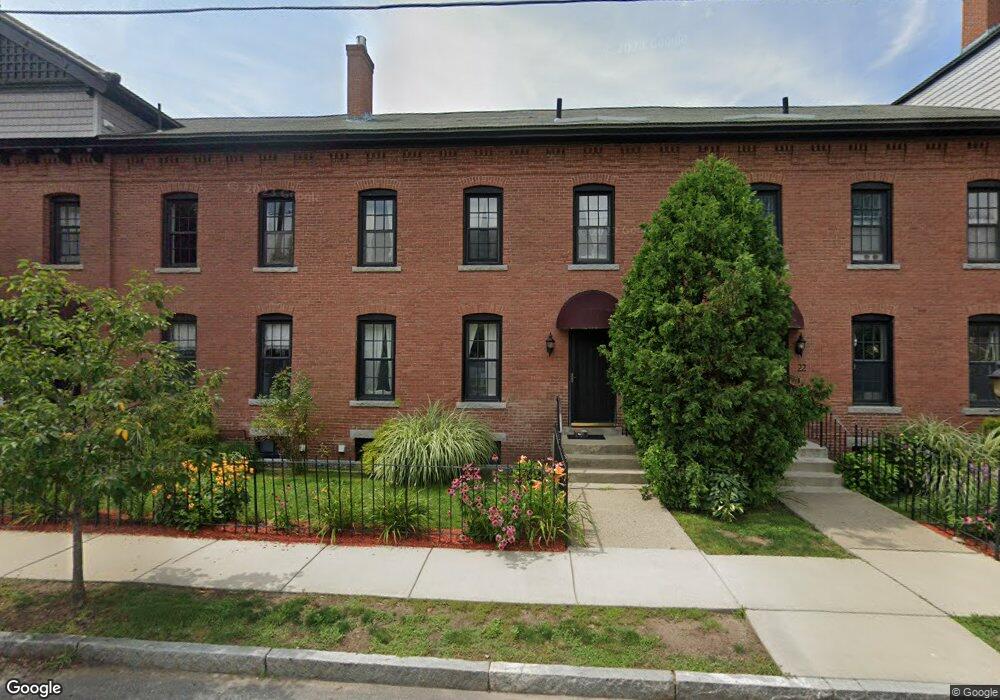
14 Nelson St Clinton, MA 01510
Estimated Value: $300,000 - $367,000
3
Beds
2
Baths
1,872
Sq Ft
$179/Sq Ft
Est. Value
About This Home
This home is located at 14 Nelson St, Clinton, MA 01510 and is currently estimated at $335,282, approximately $179 per square foot. 14 Nelson St is a home located in Worcester County with nearby schools including Clinton Elementary School, Clinton Senior High School, and Clinton Middle School.
Ownership History
Date
Name
Owned For
Owner Type
Purchase Details
Closed on
Jun 13, 2022
Sold by
Taylor Pamela J
Bought by
Taylor Shannon M
Current Estimated Value
Home Financials for this Owner
Home Financials are based on the most recent Mortgage that was taken out on this home.
Original Mortgage
$230,000
Outstanding Balance
$217,878
Interest Rate
5.1%
Mortgage Type
Purchase Money Mortgage
Estimated Equity
$117,405
Purchase Details
Closed on
Sep 10, 1993
Sold by
Clinton Sb
Bought by
Taylor Pamela J
Purchase Details
Closed on
Aug 16, 1991
Sold by
Carlisle Thomas H
Bought by
Clinton Sb
Create a Home Valuation Report for This Property
The Home Valuation Report is an in-depth analysis detailing your home's value as well as a comparison with similar homes in the area
Home Values in the Area
Average Home Value in this Area
Purchase History
| Date | Buyer | Sale Price | Title Company |
|---|---|---|---|
| Taylor Shannon M | $300,000 | None Available | |
| Taylor Pamela J | $80,000 | -- | |
| Clinton Sb | $103,000 | -- |
Source: Public Records
Mortgage History
| Date | Status | Borrower | Loan Amount |
|---|---|---|---|
| Open | Taylor Shannon M | $230,000 | |
| Previous Owner | Clinton Sb | $140,000 | |
| Previous Owner | Clinton Sb | $103,000 |
Source: Public Records
Tax History
| Year | Tax Paid | Tax Assessment Tax Assessment Total Assessment is a certain percentage of the fair market value that is determined by local assessors to be the total taxable value of land and additions on the property. | Land | Improvement |
|---|---|---|---|---|
| 2025 | $3,340 | $251,100 | $0 | $251,100 |
| 2024 | $3,299 | $251,100 | $0 | $251,100 |
| 2023 | $3,154 | $235,900 | $0 | $235,900 |
| 2022 | $3,377 | $226,500 | $0 | $226,500 |
| 2021 | $3,617 | $226,900 | $0 | $226,900 |
| 2020 | $3,056 | $197,300 | $0 | $197,300 |
| 2019 | $2,898 | $181,900 | $0 | $181,900 |
| 2018 | $3,129 | $184,300 | $0 | $184,300 |
| 2017 | $2,940 | $166,400 | $0 | $166,400 |
| 2016 | $3,065 | $177,500 | $0 | $177,500 |
| 2015 | $2,671 | $160,300 | $0 | $160,300 |
| 2014 | $2,589 | $160,300 | $0 | $160,300 |
Source: Public Records
Map
Nearby Homes
- 55 Sterling St Unit 306
- 55 Sterling St Unit 312
- 55 Sterling St Unit 314
- 55 Sterling St Unit 212
- 355 Main St
- 85 Beacon St
- 115117 Mechanic St Unit 4
- 115117 Mechanic St Unit 3
- 25 Pearl St
- 57 Clark St
- 719 Main St
- 25 Greeley St Unit 2
- 30 Richman St
- 5 Richman St
- 51 Rigby St
- 155 Cedar St
- 508 High St
- 861 Main St
- 93 Forest St
- 201-203 Stone St
Your Personal Tour Guide
Ask me questions while you tour the home.