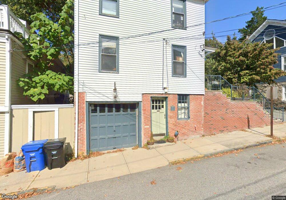
14 Perry St Newport, RI 02840
Historic Hill NeighborhoodEstimated Value: $981,455 - $1,284,000
3
Beds
2
Baths
1,296
Sq Ft
$860/Sq Ft
Est. Value
About This Home
This home is located at 14 Perry St, Newport, RI 02840 and is currently estimated at $1,114,114, approximately $859 per square foot. 14 Perry St is a home located in Newport County with nearby schools including Rogers High School, St Michael's Country Day School, and St George's School.
Ownership History
Date
Name
Owned For
Owner Type
Purchase Details
Closed on
Aug 24, 2021
Sold by
Nesbitt Ian R and Nesbitt Katherine M
Bought by
Nesbitt Ian R
Current Estimated Value
Purchase Details
Closed on
Oct 23, 2009
Sold by
Vollono Robert J
Bought by
Nesbitt Jan R and Nesbitt Katherine
Home Financials for this Owner
Home Financials are based on the most recent Mortgage that was taken out on this home.
Original Mortgage
$296,000
Interest Rate
5.09%
Mortgage Type
Purchase Money Mortgage
Purchase Details
Closed on
May 28, 2003
Sold by
Ward Michael and Ward Darlene
Bought by
Vollono Robert
Home Financials for this Owner
Home Financials are based on the most recent Mortgage that was taken out on this home.
Original Mortgage
$286,000
Interest Rate
5.86%
Purchase Details
Closed on
Apr 30, 1997
Sold by
Quinn Michael
Bought by
Ward Michael T and Ward Darlene
Purchase Details
Closed on
Jun 24, 1994
Sold by
Silvia Joseph F
Bought by
Quinn Michael
Create a Home Valuation Report for This Property
The Home Valuation Report is an in-depth analysis detailing your home's value as well as a comparison with similar homes in the area
Home Values in the Area
Average Home Value in this Area
Purchase History
| Date | Buyer | Sale Price | Title Company |
|---|---|---|---|
| Nesbitt Ian R | -- | None Available | |
| Nesbitt Jan R | $375,000 | -- | |
| Vollono Robert | $286,000 | -- | |
| Ward Michael T | $119,000 | -- | |
| Quinn Michael | $70,000 | -- |
Source: Public Records
Mortgage History
| Date | Status | Borrower | Loan Amount |
|---|---|---|---|
| Previous Owner | Quinn Michael | $296,000 | |
| Previous Owner | Quinn Michael | $50,000 | |
| Previous Owner | Quinn Michael | $301,000 | |
| Previous Owner | Quinn Michael | $286,000 |
Source: Public Records
Tax History Compared to Growth
Tax History
| Year | Tax Paid | Tax Assessment Tax Assessment Total Assessment is a certain percentage of the fair market value that is determined by local assessors to be the total taxable value of land and additions on the property. | Land | Improvement |
|---|---|---|---|---|
| 2025 | $7,153 | $823,200 | $350,000 | $473,200 |
| 2024 | $5,738 | $823,200 | $350,000 | $473,200 |
| 2023 | $5,360 | $540,300 | $228,800 | $311,500 |
| 2022 | $5,192 | $540,300 | $228,800 | $311,500 |
| 2021 | $5,041 | $540,300 | $228,800 | $311,500 |
| 2020 | $4,619 | $449,300 | $217,900 | $231,400 |
| 2019 | $4,619 | $449,300 | $217,900 | $231,400 |
| 2018 | $4,489 | $449,300 | $217,900 | $231,400 |
| 2017 | $4,150 | $370,200 | $155,800 | $214,400 |
| 2016 | $4,046 | $370,200 | $155,800 | $214,400 |
| 2015 | $3,950 | $370,200 | $155,800 | $214,400 |
| 2014 | $4,081 | $338,400 | $132,500 | $205,900 |
Source: Public Records
Map
Nearby Homes
- 13 Dean Ave
- 30 S Baptist St
- 364 Bellevue Ave Unit A1
- 364 Bellevue Ave Unit D7
- 604 Thames & 4 Dixon St
- 28 Young St
- 6 Sharon Ct
- 20 Berkeley Ave Unit 2
- 26 Freebody St
- 30 Brewer St Unit 3
- 8 Sylvan St
- 24 Brown and Howard Wharf Unit 301
- 66 Webster St Unit 9
- 19 Slocum St
- 21 Slocum St
- 50 E Bowery St
- 57 Clinton St Unit 57C
- 26 Franklin St
- 5 Lowndes St
- 39 Connection St
- 8 Perry St
- 35 West St
- 18 Perry St
- 18 Perry St Unit A
- 20 Perry St
- 20 Perry St Unit C
- 20 Perry St Unit 1
- 20 Perry St Unit A
- 20 Perry St Unit B
- 22 Perry St Unit 24
- 22 Perry St Unit 24
- 22 Perry St Unit 24
- 22 Perry St Unit B
- 2 Perry St
- 30 West St
- 24 Perry St Unit B
- 24 Perry St Unit C
- 24 Perry St
- 418 Spring St
- 26 West St