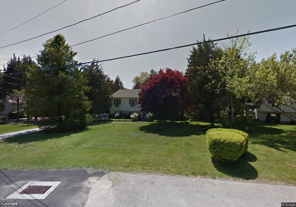
14 Pickering Dr Westerly, RI 02891
Estimated Value: $510,599 - $593,000
3
Beds
3
Baths
1,848
Sq Ft
$294/Sq Ft
Est. Value
About This Home
This home is located at 14 Pickering Dr, Westerly, RI 02891 and is currently estimated at $542,400, approximately $293 per square foot. 14 Pickering Dr is a home located in Washington County with nearby schools including Westerly High School and St. Michael School.
Ownership History
Date
Name
Owned For
Owner Type
Purchase Details
Closed on
Nov 9, 2017
Sold by
Singer Roberta
Bought by
Singer Roberta and Singer Paula K
Current Estimated Value
Purchase Details
Closed on
Jul 2, 2002
Sold by
Odonnell Mark J and Odonnell Valerie L
Bought by
Singer David L and Singer Roberta
Home Financials for this Owner
Home Financials are based on the most recent Mortgage that was taken out on this home.
Original Mortgage
$55,000
Interest Rate
6.92%
Create a Home Valuation Report for This Property
The Home Valuation Report is an in-depth analysis detailing your home's value as well as a comparison with similar homes in the area
Home Values in the Area
Average Home Value in this Area
Purchase History
| Date | Buyer | Sale Price | Title Company |
|---|---|---|---|
| Singer Roberta | -- | -- | |
| Singer David L | $225,000 | -- |
Source: Public Records
Mortgage History
| Date | Status | Borrower | Loan Amount |
|---|---|---|---|
| Previous Owner | Singer David L | $50,000 | |
| Previous Owner | Singer David L | $55,000 | |
| Previous Owner | Singer David L | $144,000 |
Source: Public Records
Tax History
| Year | Tax Paid | Tax Assessment Tax Assessment Total Assessment is a certain percentage of the fair market value that is determined by local assessors to be the total taxable value of land and additions on the property. | Land | Improvement |
|---|---|---|---|---|
| 2025 | $3,208 | $412,400 | $214,400 | $198,000 |
| 2024 | $3,498 | $334,700 | $153,200 | $181,500 |
| 2023 | $3,401 | $334,700 | $153,200 | $181,500 |
| 2022 | $3,380 | $334,700 | $153,200 | $181,500 |
| 2021 | $3,230 | $267,800 | $133,300 | $134,500 |
| 2020 | $3,173 | $267,800 | $133,300 | $134,500 |
| 2019 | $3,144 | $267,800 | $133,300 | $134,500 |
| 2018 | $2,992 | $242,300 | $123,100 | $119,200 |
| 2017 | $2,908 | $242,300 | $123,100 | $119,200 |
| 2016 | $2,908 | $242,300 | $123,100 | $119,200 |
| 2015 | $2,813 | $250,500 | $136,100 | $114,400 |
| 2014 | $2,768 | $250,500 | $136,100 | $114,400 |
Source: Public Records
Map
Nearby Homes
- 24 Abbey Ln Unit 13
- 23 Abbey Ln Unit 12
- 9 Crestview Dr Unit C
- 18 Timothy Dr
- 33 Whipple Ave
- 22 Summertime Cir
- 23 Summertime Cir
- 38 Summertime Cir
- 39 Summertime Cir
- 45 Summertime Cir
- 25 Summertime Cir
- 60 Margin St Unit 102
- 2 Pawcatuck Ave
- 24 George St
- 16 Green Ave
- 65 Mechanic St
- 0 Green Ave
- 417 River Rd
- 25 School St Unit 2
- 10 Tristam St
- 16 Pickering Dr
- 12 Pickerinbg Dr
- 12 Pickering Dr
- 22 Mary Lou Ave
- 18 Pickering Dr
- 11 Pickering Dr
- 10 Pickering Dr
- 20 Mary Lou Ave
- 20 Pickering Dr
- 20 Pickering Dr
- 22 Butterfly Dr
- 9 Pickering Dr
- 8 Pickering Dr
- 19 Pickering Dr
- 19 Butterfly Dr
- 18 Mary Lou Ave
- 26 Butterfly Dr Unit 12
- 26 Butterfly Dr
- 7 Pickering Dr
- 0 Butterfly Dr Unit 4
Your Personal Tour Guide
Ask me questions while you tour the home.