14 Portside Dr Mashpee, MA 02649
Estimated Value: $545,000 - $570,000
About This Home
This home is located at 14 Portside Dr, Mashpee, MA 02649 and is currently estimated at $554,543, approximately $329 per square foot. 14 Portside Dr is a home located in Barnstable County with nearby schools including Kenneth C. Coombs School, Quashnet School, and Mashpee Middle School.
Ownership History
We collect this data history from publicly available records. To have your information removed, we recommend requesting removal directly through your county’s website.
Purchase Details
Home Financials for this Owner
Home Financials are based on the most recent Mortgage that was taken out on this home.Purchase Details
Home Financials for this Owner
Home Financials are based on the most recent Mortgage that was taken out on this home.Purchase History
We collect this data history from publicly available records. To have your information removed, we recommend requesting removal directly through your county’s website.
| Date | Buyer | Sale Price | Title Company |
|---|---|---|---|
| $369,900 | -- | ||
| $369,900 | -- | ||
| $369,900 | -- | ||
| $344,400 | -- |
Mortgage History
We collect this data history from publicly available records. To have your information removed, we recommend requesting removal directly through your county’s website.
| Date | Status | Borrower | Loan Amount |
|---|---|---|---|
| Open | $95,000 | ||
| Closed | $95,000 | ||
| Previous Owner | $150,000 |
Tax History
We collect this data history from publicly available records. To have your information removed, we recommend requesting removal directly through your county’s website.
| Year | Tax Paid | Tax Assessment Tax Assessment Total Assessment is a certain percentage of the fair market value that is determined by local assessors to be the total taxable value of land and additions on the property. | Land | Improvement |
|---|---|---|---|---|
| 2025 | $3,456 | $522,100 | $0 | $522,100 |
| 2024 | $3,299 | $513,000 | $0 | $513,000 |
| 2023 | $3,190 | $455,100 | $0 | $455,100 |
| 2022 | $3,182 | $389,500 | $0 | $389,500 |
| 2021 | $3,336 | $367,800 | $0 | $367,800 |
| 2020 | $3,264 | $359,100 | $0 | $359,100 |
| 2019 | $3,464 | $382,800 | $0 | $382,800 |
| 2018 | $3,320 | $372,200 | $0 | $372,200 |
| 2017 | $3,323 | $361,600 | $0 | $361,600 |
| 2016 | $3,249 | $351,600 | $0 | $351,600 |
| 2015 | $2,843 | $312,100 | $0 | $312,100 |
| 2014 | $2,713 | $288,900 | $0 | $288,900 |
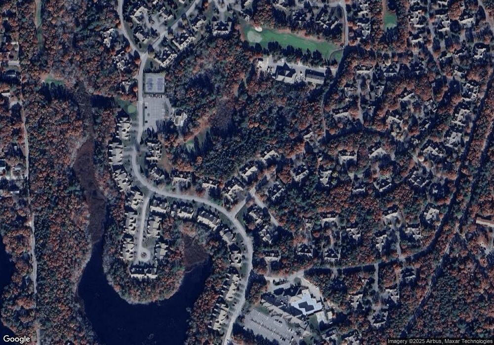
Map
- 21 Rolling Green Ln Unit 140
- 21 Rolling Green Ln
- 142 Leisure Green Dr S Unit 142
- 142 Leisure Green Dr N Unit 142
- 68 Leisure Green Dr Unit 68
- 7 Masters Ct Unit 464
- 7 Masters Ct
- 1 Woods Edge Ln
- 80 Pine Hill Blvd Unit 80
- 21 Grey Hawk Dr Unit 21
- 28 Windward St Unit 28
- 18 Bonwood Dr Unit 402
- 94 Pine Hill Blvd Unit 94
- 118 Grey Hawk Dr Unit 118
- 266 Algonquin Ave
- 1 Sandview Terrace Unit 1
- 163 Ninigret Ave
- 115 Pine Hill Blvd Unit 347
- 115 Pine Hill Blvd
- 22 Country Club Ln
- 10 Portside Dr
- 12 Portside Dr
- 16 Portside Dr
- 16 Portside Dr Unit 123
- 22 Portside Dr Unit 149
- 18 Portside Dr
- 20 Portside Dr
- 22 Portside Dr
- 24 Portside Dr
- 18 Portside Dr Unit 18
- 22 Portside Dr Unit 234
- 18 Portside Dr Unit 151
- 24 Portside Dr Unit 148
- 22 Portside Dr Unit 22
- 4 Portside Dr Unit 158
- 2 Portside Dr
- 4 Portside Dr
- 6 Portside Dr
- 8 Portside Dr
- 4 Portside Dr Unit 4
Ask me questions while you tour the home.