Estimated Value: $631,000 - $837,000
2
Beds
3
Baths
2,030
Sq Ft
$358/Sq Ft
Est. Value
About This Home
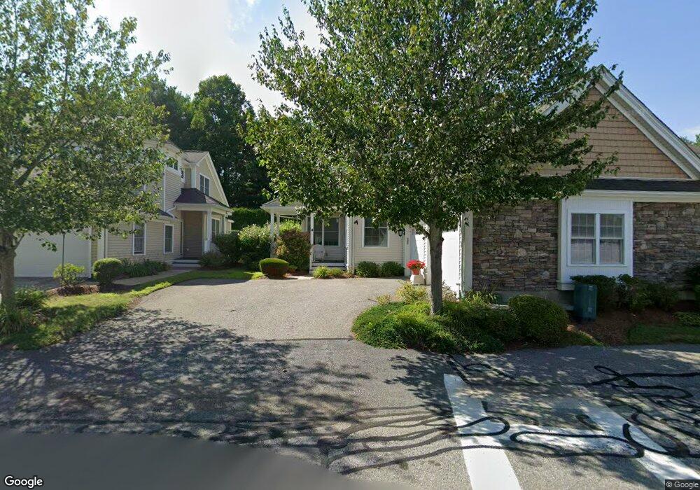
This home is located at 14 Preston Way Unit 57, Acton, MA 01720 and is currently estimated at $725,956, approximately $357 per square foot. 14 Preston Way Unit 57 is a home located in Middlesex County with nearby schools including Acton-Boxborough Regional High School and Oak Meadow Montessori School.
Ownership History
Date
Name
Owned For
Owner Type
Purchase Details
Closed on
Jul 31, 2020
Sold by
Norton John H and Norton Barbara L
Bought by
Norton Ft
Current Estimated Value
Purchase Details
Closed on
Jul 13, 2019
Sold by
Wildwood Preston Rt
Bought by
Norton Barbara L and Norton John H
Purchase Details
Closed on
Feb 29, 2016
Sold by
Simmons Beverly M
Bought by
Wildwood Preston Rt
Purchase Details
Closed on
Mar 21, 2007
Sold by
Rrv Llc
Bought by
Simmons Beverly M and Simmons Warren A
Home Financials for this Owner
Home Financials are based on the most recent Mortgage that was taken out on this home.
Original Mortgage
$436,206
Interest Rate
6.33%
Mortgage Type
Purchase Money Mortgage
Create a Home Valuation Report for This Property
The Home Valuation Report is an in-depth analysis detailing your home's value as well as a comparison with similar homes in the area
Home Values in the Area
Average Home Value in this Area
Purchase History
| Date | Buyer | Sale Price | Title Company |
|---|---|---|---|
| Norton Ft | -- | None Available | |
| Norton Barbara L | $502,000 | -- | |
| Wildwood Preston Rt | -- | -- | |
| Simmons Beverly M | $545,262 | -- |
Source: Public Records
Mortgage History
| Date | Status | Borrower | Loan Amount |
|---|---|---|---|
| Previous Owner | Simmons Beverly M | $436,206 |
Source: Public Records
Tax History Compared to Growth
Tax History
| Year | Tax Paid | Tax Assessment Tax Assessment Total Assessment is a certain percentage of the fair market value that is determined by local assessors to be the total taxable value of land and additions on the property. | Land | Improvement |
|---|---|---|---|---|
| 2025 | $10,739 | $626,200 | $0 | $626,200 |
| 2024 | $9,819 | $589,000 | $0 | $589,000 |
| 2023 | $9,265 | $527,600 | $0 | $527,600 |
| 2022 | $9,369 | $481,700 | $0 | $481,700 |
| 2021 | $9,241 | $456,800 | $0 | $456,800 |
| 2020 | $9,210 | $478,700 | $0 | $478,700 |
| 2019 | $7,993 | $452,800 | $0 | $452,800 |
| 2018 | $9,035 | $466,200 | $0 | $466,200 |
| 2017 | $7,569 | $397,100 | $0 | $397,100 |
| 2016 | $7,767 | $403,900 | $0 | $403,900 |
| 2015 | $7,389 | $387,900 | $0 | $387,900 |
| 2014 | $7,444 | $382,700 | $0 | $382,700 |
Source: Public Records
Map
Nearby Homes
- 927 Main St
- 875 Acton St
- 17 Northbriar Rd
- 1 Quarry Rd
- 407 Great Rd Unit 9
- 403 Great Rd Unit 5
- 601 Old Stone Brook
- 428 Great Rd Unit 10
- 420 Great Rd Unit B3
- 517 Tumbling Hawk
- 390 Great Rd Unit A2
- 386 Great Rd Unit A8
- 484 Great Rd
- 484 Great Rd
- 237 Brown Bear Crossing Unit 237
- 140 Butternut Hollow Unit 140
- 484 Great Road -3
- 484 Great Road -4
- 484 Great Road -6
- 16 Wampus Ave Unit 32
- 14 Preston Way
- 16 Preston Way
- 10 Preston Way
- 12 Preston Way
- 10 Preston Way Unit 59
- 12 Preston Way Unit 58
- 18 Preston Way
- 20 Preston Way
- 22 Preston Way
- 20 Preston Way Unit 20
- 22 Preston Way Unit 53
- 18 Preston Way Unit 55
- 20 Preston Way Unit 54
- 19 Preston Way
- 17 Preston Way
- 17 Preston Way Unit 50
- 21 Preston Way
- 21 Preston Way Unit 21
- 21 Preston Way Unit 52
- 11 Preston Way