14 Promontory Way Georgetown, ME 04548
Georgetown NeighborhoodEstimated Value: $982,000
--
Bed
--
Bath
--
Sq Ft
1.26
Acres
About This Home
This home is located at 14 Promontory Way, Georgetown, ME 04548 and is currently estimated at $982,000. 14 Promontory Way is a home.
Ownership History
Date
Name
Owned For
Owner Type
Purchase Details
Closed on
Jul 17, 2009
Sold by
Webster Clifford S and Webster Norah S
Bought by
Norah S Webster Ft
Current Estimated Value
Home Financials for this Owner
Home Financials are based on the most recent Mortgage that was taken out on this home.
Original Mortgage
$350,000
Outstanding Balance
$228,432
Interest Rate
5.31%
Mortgage Type
Unknown
Estimated Equity
$753,568
Create a Home Valuation Report for This Property
The Home Valuation Report is an in-depth analysis detailing your home's value as well as a comparison with similar homes in the area
Home Values in the Area
Average Home Value in this Area
Purchase History
| Date | Buyer | Sale Price | Title Company |
|---|---|---|---|
| Norah S Webster Ft | -- | -- | |
| Webster Clifford S | -- | -- | |
| Webster Clifford S | -- | -- |
Source: Public Records
Mortgage History
| Date | Status | Borrower | Loan Amount |
|---|---|---|---|
| Open | Webster Clifford S | $350,000 | |
| Closed | Webster Clifford S | $350,000 |
Source: Public Records
Tax History Compared to Growth
Tax History
| Year | Tax Paid | Tax Assessment Tax Assessment Total Assessment is a certain percentage of the fair market value that is determined by local assessors to be the total taxable value of land and additions on the property. | Land | Improvement |
|---|---|---|---|---|
| 2024 | $2,572 | $427,300 | $229,600 | $197,700 |
| 2023 | $2,474 | $253,700 | $127,600 | $126,100 |
| 2022 | $2,243 | $253,700 | $127,600 | $126,100 |
| 2021 | $2,093 | $253,700 | $127,600 | $126,100 |
| 2020 | $2,055 | $253,700 | $127,600 | $126,100 |
| 2019 | $1,979 | $253,700 | $127,600 | $126,100 |
| 2018 | $1,953 | $253,700 | $127,600 | $126,100 |
| 2017 | $1,941 | $253,700 | $127,600 | $126,100 |
| 2016 | $1,941 | $253,700 | $127,600 | $126,100 |
| 2015 | $1,872 | $253,700 | $127,600 | $126,100 |
| 2014 | $1,872 | $253,700 | $127,600 | $126,100 |
| 2013 | $1,801 | $253,700 | $127,600 | $126,100 |
Source: Public Records
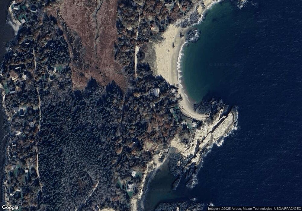
Map
Nearby Homes
- 823 Popham Rd
- 28 Bay Point Rd
- Lot 5 Sagamore Dr
- Lot 5 Sagamore Dr Unit 5
- Lot 3 Sagamore Dr Unit 3
- Lot 3 Sagamore Dr
- 218 Sam Day Hill Rd
- Lot 17A Snowman Ln
- 1682 Main Rd
- 12 Spruce Gum Ln
- 7-1 Wrong Way Dr
- 312 Small Point Rd
- 15 Blueberry Hill Rd
- 1 Plum Ln Unit D
- 22 Gray Rd
- 1020 Hendricks Hill Rd
- 15 Church Ln
- 25 N End Rd
- 11 Youngs Rd
- 461 Hendricks Hill Rd
- 12 Promontory Way
- 16 Promontory Way
- 11 Promontory Way
- 19 Promontory Way
- 22 Promontory Way
- 999 Indian Point Rd
- 2 Bayberry Ln
- 690 Indian Point Rd
- 5 Sea View Ln
- 697 Indian Point Rd
- 7 Sea View Ln
- 4 Bayberry Ln
- 192 Loop Rd
- 196 Loop Rd
- 685 Indian Point Rd
- 6 Bayberry Ln
- 63 S Bay Rd
- 63 S Bay Rd
- 772 Indian Point Rd
- 194 Loop Rd