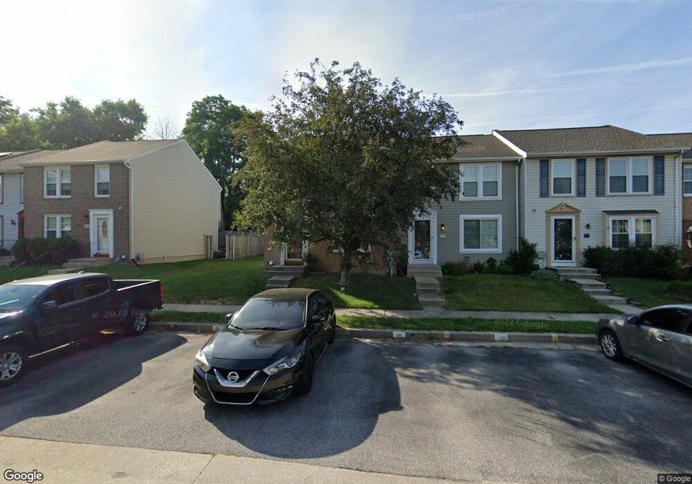
14 Ramsgate Ct Halethorpe, MD 21227
Estimated Value: $334,000 - $373,000
Studio
3
Baths
1,220
Sq Ft
$285/Sq Ft
Est. Value
About This Home
This home is located at 14 Ramsgate Ct, Halethorpe, MD 21227 and is currently estimated at $347,427, approximately $284 per square foot. 14 Ramsgate Ct is a home located in Baltimore County with nearby schools including Relay Elementary School, Arbutus Middle School, and Lansdowne High School.
Ownership History
Date
Name
Owned For
Owner Type
Purchase Details
Closed on
Oct 14, 2008
Sold by
Sinclair Darla Rae
Bought by
Sinclair Darla Rae
Current Estimated Value
Purchase Details
Closed on
May 2, 2002
Sold by
Roberts Sandra Kay
Bought by
Sinclair Darla R
Purchase Details
Closed on
Jun 23, 1999
Sold by
Roberts Albert E
Bought by
Roberts Sandra Kay
Purchase Details
Closed on
Feb 19, 1997
Sold by
Sovero Richard P
Bought by
Roberts Alber E
Create a Home Valuation Report for This Property
The Home Valuation Report is an in-depth analysis detailing your home's value as well as a comparison with similar homes in the area
Home Values in the Area
Average Home Value in this Area
Purchase History
| Date | Buyer | Sale Price | Title Company |
|---|---|---|---|
| Sinclair Darla Rae | -- | None Listed On Document | |
| Sinclair Darla Rae | -- | None Listed On Document | |
| Sinclair Darla R | $125,000 | -- | |
| Roberts Sandra Kay | -- | -- | |
| Roberts Alber E | $113,000 | -- |
Source: Public Records
Tax History
| Year | Tax Paid | Tax Assessment Tax Assessment Total Assessment is a certain percentage of the fair market value that is determined by local assessors to be the total taxable value of land and additions on the property. | Land | Improvement |
|---|---|---|---|---|
| 2025 | $3,607 | $258,333 | -- | -- |
| 2024 | $3,607 | $235,200 | $63,700 | $171,500 |
| 2023 | $1,740 | $225,333 | $0 | $0 |
| 2022 | $3,271 | $215,467 | $0 | $0 |
| 2021 | $3,081 | $205,600 | $63,700 | $141,900 |
| 2020 | $3,081 | $196,900 | $0 | $0 |
| 2019 | $3,011 | $188,200 | $0 | $0 |
| 2018 | $2,949 | $179,500 | $63,700 | $115,800 |
| 2017 | $2,847 | $178,800 | $0 | $0 |
| 2016 | $2,423 | $178,100 | $0 | $0 |
| 2015 | $2,423 | $177,400 | $0 | $0 |
| 2014 | $2,423 | $177,400 | $0 | $0 |
Source: Public Records
Map
Nearby Homes
- 1015 Stormont Cir
- 901 Grovehill Rd
- 927 Grovehill Rd
- 1027 Downton Rd
- 20 Deer Run Ct Unit F
- 1078 Downton Rd
- 1207 Brewster St
- 16 W End Ct
- 25 W W End Ct
- 19 Piedmont Ct
- 5522 Ashbourne Rd
- 5402 Council St
- 5816 Richardson Mews Square
- 5521 Willys Ave
- 1204 Birch Ave
- 5605 Oregon Ave
- 1211 Poplar Ave
- 1710H Selma Ave
- 4624 Magnolia Ave
- 4606 Ridge Ave
Your Personal Tour Guide
Ask me questions while you tour the home.