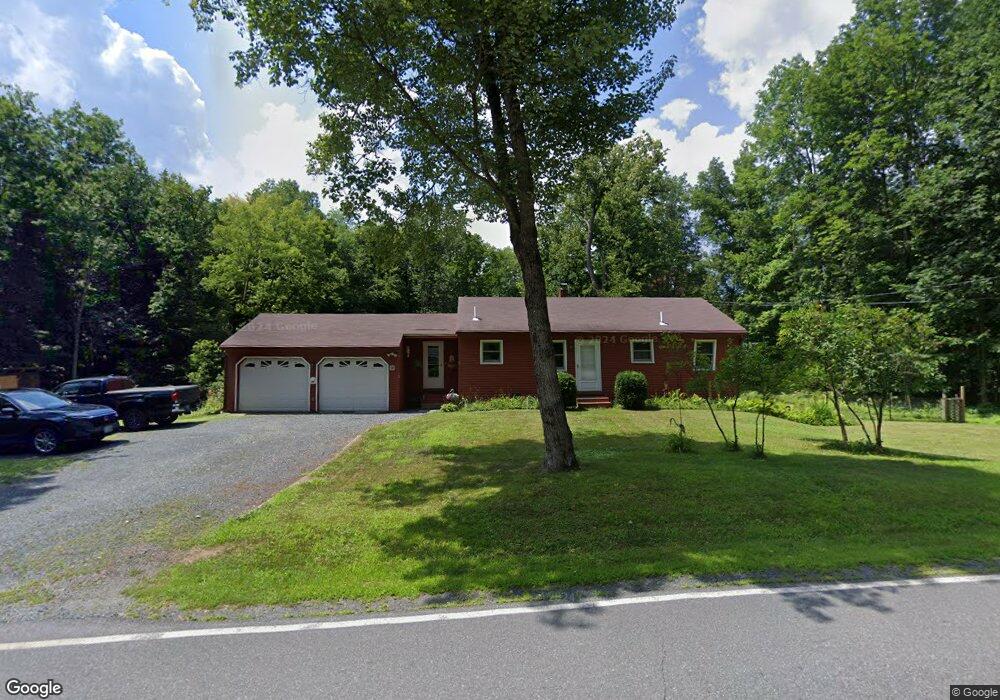
14 River Rd Hanover, NH 03755
Estimated Value: $508,654 - $1,604,000
2
Beds
2
Baths
1,068
Sq Ft
$824/Sq Ft
Est. Value
About This Home
This home is located at 14 River Rd, Hanover, NH 03755 and is currently estimated at $880,414, approximately $824 per square foot. 14 River Rd is a home located in Grafton County with nearby schools including Bernice A. Ray School, Frances C. Richmond School, and Hanover High School.
Ownership History
Date
Name
Owned For
Owner Type
Purchase Details
Closed on
May 8, 2006
Sold by
Huckins Jason L and Huckins Christina A
Bought by
Us Bank Na Tr
Current Estimated Value
Purchase Details
Closed on
Apr 29, 2004
Sold by
Mitchell Teresa I
Bought by
Mitchell Teresa I
Home Financials for this Owner
Home Financials are based on the most recent Mortgage that was taken out on this home.
Original Mortgage
$67,000
Interest Rate
5.36%
Mortgage Type
Purchase Money Mortgage
Create a Home Valuation Report for This Property
The Home Valuation Report is an in-depth analysis detailing your home's value as well as a comparison with similar homes in the area
Home Values in the Area
Average Home Value in this Area
Purchase History
| Date | Buyer | Sale Price | Title Company |
|---|---|---|---|
| Us Bank Na Tr | $180,000 | -- | |
| Mitchell Teresa I | $130,000 | -- |
Source: Public Records
Mortgage History
| Date | Status | Borrower | Loan Amount |
|---|---|---|---|
| Previous Owner | Mitchell Teresa I | $67,000 |
Source: Public Records
Tax History
| Year | Tax Paid | Tax Assessment Tax Assessment Total Assessment is a certain percentage of the fair market value that is determined by local assessors to be the total taxable value of land and additions on the property. | Land | Improvement |
|---|---|---|---|---|
| 2024 | $6,935 | $363,100 | $167,300 | $195,800 |
| 2023 | $6,674 | $363,100 | $167,300 | $195,800 |
| 2022 | $6,409 | $363,100 | $167,300 | $195,800 |
| 2021 | $6,343 | $363,100 | $167,300 | $195,800 |
| 2020 | $6,932 | $346,100 | $175,300 | $170,800 |
| 2019 | $6,839 | $346,100 | $175,300 | $170,800 |
| 2018 | $6,701 | $351,600 | $180,800 | $170,800 |
| 2017 | $5,937 | $276,400 | $131,700 | $144,700 |
| 2016 | $5,829 | $276,400 | $131,700 | $144,700 |
| 2015 | $5,713 | $276,400 | $131,700 | $144,700 |
| 2014 | $5,462 | $276,400 | $131,700 | $144,700 |
| 2013 | $5,260 | $276,400 | $131,700 | $144,700 |
| 2012 | $5,409 | $298,200 | $145,300 | $152,900 |
Source: Public Records
Map
Nearby Homes
- 48 Rennie Rd
- 0 U S 5
- 633 Hanover Center Rd
- 10 Dairy Ln
- Lot 2 Quail John Rd
- 385 Hauger Rd
- 53 Lyme Rd Unit 35
- 25 Hemlock Rd
- 207 River Rd
- 00 Bradley Hill Rd Unit 121
- 51 Loveland Rd
- 5 Chandler Rd
- 1 Barbara Lee Ln
- 4 Haskins Rd
- 32 Melview Ridge
- 126 Brook Hollow
- 26 Low Rd
- 2 Hilton Field Ln
- 16 Olcott Rd
- 195 Willey Hill Rd
- 12 River Rd
- 16 River Rd
- 11 River Rd
- 9 River Rd
- 10 River Rd
- 20 River Rd
- 1 Purling Brooks Dr
- 3 Purling Brooks Dr
- 5 Purling Brooks Dr
- 7 Purling Brooks Dr
- 12 Purling Brooks Dr
- 6 Purling Brooks Dr
- 4 Purling Brooks Dr
- 2 Purling Brooks Dr
- 10 Purling Brooks Dr
- 1 & 3 River Rd
- 26 River Rd
- 23 River Rd
- 29 River Rd
- 1 River Edge Ln
Your Personal Tour Guide
Ask me questions while you tour the home.