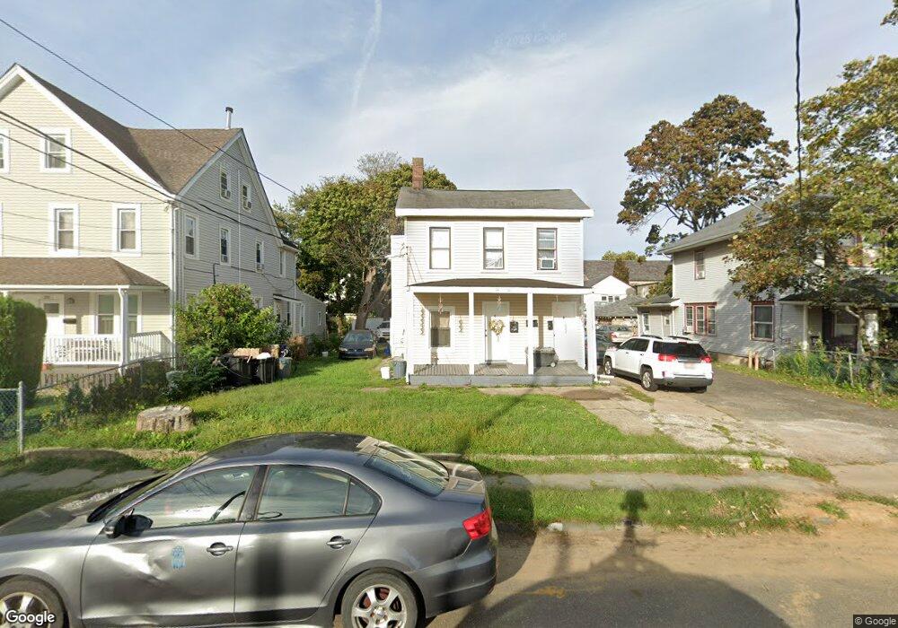
14 S 5th Ave Unit 16 Long Branch, NJ 07740
Estimated Value: $520,000 - $729,000
4
Beds
2
Baths
2,465
Sq Ft
$261/Sq Ft
Est. Value
About This Home
This home is located at 14 S 5th Ave Unit 16, Long Branch, NJ 07740 and is currently estimated at $642,804, approximately $260 per square foot. 14 S 5th Ave Unit 16 is a home located in Monmouth County with nearby schools including Long Branch High School and Holy Trinity School.
Ownership History
Date
Name
Owned For
Owner Type
Purchase Details
Closed on
Jun 20, 2005
Sold by
Pansoon Jo
Bought by
Perius Elaine Therezinha
Current Estimated Value
Home Financials for this Owner
Home Financials are based on the most recent Mortgage that was taken out on this home.
Original Mortgage
$80,400
Outstanding Balance
$42,159
Interest Rate
5.73%
Mortgage Type
Commercial
Estimated Equity
$600,645
Purchase Details
Closed on
Feb 4, 2004
Sold by
Avelar Elaine
Bought by
Pansoon Jo
Purchase Details
Closed on
Jun 14, 2001
Sold by
Silvestre Fernando
Bought by
Avelar Elaine
Home Financials for this Owner
Home Financials are based on the most recent Mortgage that was taken out on this home.
Original Mortgage
$79,200
Interest Rate
7.09%
Mortgage Type
Commercial
Create a Home Valuation Report for This Property
The Home Valuation Report is an in-depth analysis detailing your home's value as well as a comparison with similar homes in the area
Home Values in the Area
Average Home Value in this Area
Purchase History
| Date | Buyer | Sale Price | Title Company |
|---|---|---|---|
| Perius Elaine Therezinha | $402,000 | -- | |
| Pansoon Jo | $329,000 | -- | |
| Avelar Elaine | $99,000 | -- |
Source: Public Records
Mortgage History
| Date | Status | Borrower | Loan Amount |
|---|---|---|---|
| Open | Perius Elaine Therezinha | $80,400 | |
| Open | Perius Elaine Therezinha | $321,600 | |
| Previous Owner | Avelar Elaine | $79,200 | |
| Closed | Pansoon Jo | -- |
Source: Public Records
Tax History Compared to Growth
Tax History
| Year | Tax Paid | Tax Assessment Tax Assessment Total Assessment is a certain percentage of the fair market value that is determined by local assessors to be the total taxable value of land and additions on the property. | Land | Improvement |
|---|---|---|---|---|
| 2025 | $8,441 | $611,600 | $248,300 | $363,300 |
| 2024 | $7,675 | $549,200 | $218,300 | $330,900 |
| 2023 | $7,675 | $494,200 | $178,300 | $315,900 |
| 2022 | $7,228 | $421,600 | $143,300 | $278,300 |
| 2021 | $7,228 | $361,200 | $124,300 | $236,900 |
| 2020 | $7,499 | $358,800 | $123,300 | $235,500 |
| 2019 | $7,103 | $337,900 | $113,300 | $224,600 |
| 2018 | $6,801 | $321,700 | $105,300 | $216,400 |
| 2017 | $6,298 | $305,600 | $93,300 | $212,300 |
| 2016 | $6,166 | $305,100 | $98,300 | $206,800 |
| 2015 | $5,347 | $240,100 | $99,500 | $140,600 |
| 2014 | $4,985 | $235,900 | $111,100 | $124,800 |
Source: Public Records
Map
Nearby Homes
- 39 Slocum Place
- 14 Slocum Place
- 40 N 5th Ave
- 145 Stokes Place
- 144 Westwood Ave
- 143 Stokes Place
- 167 Chelsea Ave
- 176 Chelsea Ave
- 399 Willow Ave
- 170 Franklin Ave
- 158 Franklin Ave
- 152 Franklin Ave
- 150 Franklin Ave Unit 5
- 166 Franklin Ave Unit 8
- 103 Franklin Ave
- 148 Sixth Ave
- 151 N 5th Ave
- 40 University Dr
- 184 N 5th Ave
- 119 Washington St
- 20 S 5th Ave Unit 22
- 24 S 5th Ave Unit 26
- 290 Broadway
- 28 S 5th Ave
- 19 Slocum Place
- 23 Slocum Place
- 32 S 5th Ave
- 27 Slocum Place
- 31 Slocum Place
- 21 S 5th Ave
- 36 S 5th Ave
- 27 S 5th Ave
- 279 Broadway
- 31 S 5th Ave Unit 33
- 5 6th Ave
- 0 Slocum Place
- 40 S 5th Ave
- 35 Slocum Place Unit 37
- 35 S 5th Ave Unit 37
- 266 Broadway