Estimated Value: $486,250 - $550,000
3
Beds
2
Baths
1,312
Sq Ft
$400/Sq Ft
Est. Value
About This Home
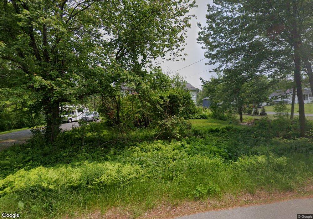
This home is located at 14 S Range Rd, Derry, NH 03038 and is currently estimated at $524,563, approximately $399 per square foot. 14 S Range Rd is a home located in Rockingham County with nearby schools including South Range Elementary School, West Running Brook Middle School, and Pinkerton Academy.
Create a Home Valuation Report for This Property
The Home Valuation Report is an in-depth analysis detailing your home's value as well as a comparison with similar homes in the area
Home Values in the Area
Average Home Value in this Area
Tax History
| Year | Tax Paid | Tax Assessment Tax Assessment Total Assessment is a certain percentage of the fair market value that is determined by local assessors to be the total taxable value of land and additions on the property. | Land | Improvement |
|---|---|---|---|---|
| 2025 | $8,517 | $448,500 | $232,000 | $216,500 |
| 2024 | $8,339 | $446,200 | $232,000 | $214,200 |
| 2023 | $7,681 | $371,400 | $197,200 | $174,200 |
| 2022 | $7,071 | $371,400 | $197,200 | $174,200 |
| 2021 | $7,963 | $321,600 | $151,100 | $170,500 |
| 2020 | $7,828 | $321,600 | $151,100 | $170,500 |
| 2019 | $6,867 | $262,900 | $102,000 | $160,900 |
| 2018 | $6,278 | $241,200 | $102,000 | $139,200 |
| 2017 | $6,470 | $224,200 | $97,000 | $127,200 |
| 2016 | $6,067 | $224,200 | $97,000 | $127,200 |
| 2015 | $6,156 | $210,600 | $97,000 | $113,600 |
| 2014 | $6,196 | $210,600 | $97,000 | $113,600 |
| 2013 | $6,329 | $201,000 | $95,000 | $106,000 |
Source: Public Records
Map
Nearby Homes
- 6 Homestead Dr
- 21 Berry Rd
- 56 Bedard Ave
- 51 Bedard Ave
- 139 Rockingham Rd Unit 21
- 18 Gervaise Dr
- 17 Tyler Rd
- 15 Windham Depot Rd Unit 37
- 52 Windham Depot Rd
- 16 Towne Dr
- 144 Rockingham Rd
- 43 Lampton Dr
- 8 Blueberry Rd Unit U: R
- 4 Westview Dr
- 2 Brown Rd
- 5 Stone Fence Dr
- 12R Brian Ave Unit R
- 11 Phillip Rd Unit R
- 3L Little John Ct Unit L
- 89 Lane Rd
Your Personal Tour Guide
Ask me questions while you tour the home.