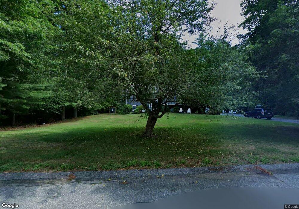
14 S River Ln E Duxbury, MA 02332
Estimated Value: $805,000 - $965,000
3
Beds
2
Baths
1,700
Sq Ft
$508/Sq Ft
Est. Value
About This Home
This home is located at 14 S River Ln E, Duxbury, MA 02332 and is currently estimated at $863,397, approximately $507 per square foot. 14 S River Ln E is a home located in Plymouth County with nearby schools including Chandler Elementary School, Alden School, and Duxbury Middle School.
Ownership History
Date
Name
Owned For
Owner Type
Purchase Details
Closed on
May 8, 2021
Sold by
Dasuta Dean A and Dasuta Sarah E
Bought by
Britt Sarah E
Current Estimated Value
Purchase Details
Closed on
Sep 26, 2003
Sold by
Kelly Francis S and Kelly Tammy V
Bought by
Dasuta Dean A and Dasuta Sarah E
Purchase Details
Closed on
May 26, 2000
Sold by
Mcbain William
Bought by
Kelly Francis
Create a Home Valuation Report for This Property
The Home Valuation Report is an in-depth analysis detailing your home's value as well as a comparison with similar homes in the area
Home Values in the Area
Average Home Value in this Area
Purchase History
| Date | Buyer | Sale Price | Title Company |
|---|---|---|---|
| Britt Sarah E | -- | None Available | |
| Dasuta Dean A | $409,000 | -- | |
| Kelly Francis | $292,000 | -- |
Source: Public Records
Mortgage History
| Date | Status | Borrower | Loan Amount |
|---|---|---|---|
| Previous Owner | Kelly Francis | $293,000 | |
| Previous Owner | Kelly Francis | $64,000 |
Source: Public Records
Tax History Compared to Growth
Tax History
| Year | Tax Paid | Tax Assessment Tax Assessment Total Assessment is a certain percentage of the fair market value that is determined by local assessors to be the total taxable value of land and additions on the property. | Land | Improvement |
|---|---|---|---|---|
| 2025 | $7,912 | $780,300 | $494,700 | $285,600 |
| 2024 | $7,014 | $697,200 | $472,800 | $224,400 |
| 2023 | $7,741 | $724,100 | $507,500 | $216,600 |
| 2022 | $6,415 | $499,600 | $322,300 | $177,300 |
| 2021 | $6,819 | $470,900 | $311,300 | $159,600 |
| 2020 | $6,371 | $434,600 | $282,200 | $152,400 |
| 2019 | $5,872 | $400,000 | $262,100 | $137,900 |
| 2018 | $5,875 | $387,500 | $247,600 | $139,900 |
| 2017 | $5,869 | $378,400 | $247,600 | $130,800 |
| 2016 | $5,721 | $367,900 | $237,100 | $130,800 |
| 2015 | $5,185 | $332,400 | $201,600 | $130,800 |
Source: Public Records
Map
Nearby Homes
- 18 King Phillips Path
- 225 Lincoln St Unit A3
- 512 Lincoln St
- 16 Fieldstone Farm Way
- 15 Fieldstone Farm Way Unit 8
- 62 Teakettle Ln
- 47 Teakettle Ln
- 33 Herring Weir Rd
- The Duplex Plan at The Village at Harlow Brook
- The Chatham Plan at The Village at Harlow Brook
- The Falmouth Plan at The Village at Harlow Brook
- 20 Lady Slipper Ln
- 3 Harlow Brook Way Unit 3
- 2 Harlow Brook Way Unit 2
- 2 Secret Pond Way Unit 35
- 1 Secret Pond Way Unit 36
- 6 Carriage Ln Unit 6
- 346 Summer St
- 20 Amado Way
- 600 Summer St Unit 6
- 107 Plantation Dr
- 7 S River Ln E
- 96 Plantation Dr
- 108 Plantation Dr
- 77 Plantation Dr
- 117 Plantation Dr
- 78 Plantation Dr
- 118 Plantation Dr
- 63 Plantation Dr
- 129 Plantation Dr
- 300 Congress St
- 140 Plantation Dr
- 20 S River Ln W
- 35 S River Ln W
- 64 S River Ln E
- 45 Plantation Dr
- 298 Congress St
- 40 S River Ln W
- 145 Plantation Dr
- 54 Plantation Dr