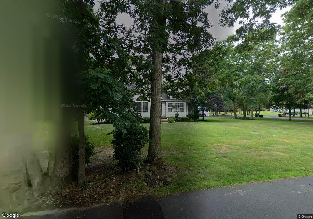
14 Shetland Ave Howell, NJ 07731
Southard NeighborhoodEstimated Value: $937,000 - $984,605
3
Beds
1
Bath
2,420
Sq Ft
$395/Sq Ft
Est. Value
About This Home
This home is located at 14 Shetland Ave, Howell, NJ 07731 and is currently estimated at $955,401, approximately $394 per square foot. 14 Shetland Ave is a home located in Monmouth County with nearby schools including Ramtown School, Greenville School, and Howell Township Middle School South.
Ownership History
Date
Name
Owned For
Owner Type
Purchase Details
Closed on
Sep 6, 2022
Sold by
Anderson Andrew B and Anderson Lori L
Bought by
Landau Moshe and Landau Hinda
Current Estimated Value
Home Financials for this Owner
Home Financials are based on the most recent Mortgage that was taken out on this home.
Original Mortgage
$593,750
Outstanding Balance
$567,485
Interest Rate
5.3%
Mortgage Type
New Conventional
Estimated Equity
$387,916
Create a Home Valuation Report for This Property
The Home Valuation Report is an in-depth analysis detailing your home's value as well as a comparison with similar homes in the area
Home Values in the Area
Average Home Value in this Area
Purchase History
| Date | Buyer | Sale Price | Title Company |
|---|---|---|---|
| Landau Moshe | $730,000 | -- | |
| Landau Moshe | $730,000 | None Listed On Document |
Source: Public Records
Mortgage History
| Date | Status | Borrower | Loan Amount |
|---|---|---|---|
| Open | Landau Moshe | $593,750 | |
| Closed | Landau Moshe | $593,750 |
Source: Public Records
Tax History Compared to Growth
Tax History
| Year | Tax Paid | Tax Assessment Tax Assessment Total Assessment is a certain percentage of the fair market value that is determined by local assessors to be the total taxable value of land and additions on the property. | Land | Improvement |
|---|---|---|---|---|
| 2025 | $13,424 | $793,500 | $327,600 | $465,900 |
| 2024 | $13,219 | $755,000 | $297,700 | $457,300 |
| 2023 | $13,219 | $710,300 | $263,700 | $446,600 |
| 2022 | $12,520 | $574,000 | $188,700 | $385,300 |
| 2021 | $12,520 | $545,300 | $202,600 | $342,700 |
| 2020 | $12,571 | $541,400 | $202,600 | $338,800 |
| 2019 | $12,672 | $535,600 | $202,600 | $333,000 |
| 2018 | $11,788 | $495,100 | $177,600 | $317,500 |
| 2017 | $10,333 | $429,100 | $117,600 | $311,500 |
| 2016 | $9,760 | $401,300 | $97,600 | $303,700 |
| 2015 | $9,754 | $397,000 | $97,600 | $299,400 |
| 2014 | $8,651 | $326,700 | $77,600 | $249,100 |
Source: Public Records
Map
Nearby Homes
- 460 Alexander Ave
- 3 Larrabee Blvd
- 0 Larrabee Blvd Unit 22533292
- 0 Larrabee Blvd Unit 22533293
- 601 Appolo Rd
- 0 Alexander Ave
- 0 Maxim Southard Rd Unit 22531504
- 0 Appolo Rd
- 31 Rappleyea Rd
- 34 Jason Ct
- 402 Twin Oaks Dr
- 1042 Maxim Southard Rd
- 176 Downing St Unit 1
- 184 Downing St
- 270 Alexander Ave
- 269 Alexander Ave
- 124 Williamsburg Ln Unit 8
- 0 E County Line Rd
- 254 Alexander Ave
- 957 E County Line Rd
- 139 Waverly Place
- 144 Waverly Place
- 140 Waverly Place
- 9 Shetland Ave
- 26 Larrabee Blvd
- 442 Alexander Ave
- 434 Alexander Ave
- 448 Alexander Ave
- 125 Waverly Place
- 33 Larrabee Blvd
- 48 Larrabee Blvd
- 18 Larrabee Blvd
- 21 Larrabee Blvd
- 424 Alexander Ave
- 122 Waverly Place
- 43 Larrabee Blvd
- 452 Alexander Ave
- 441 Alexander Ave
- 224 Bry Ave
- 435 Alexander Ave