14 Sneade Dr Oxford, MA 01540
Estimated Value: $480,000 - $518,000
3
Beds
3
Baths
1,520
Sq Ft
$333/Sq Ft
Est. Value
About This Home
This home is located at 14 Sneade Dr, Oxford, MA 01540 and is currently estimated at $506,102, approximately $332 per square foot. 14 Sneade Dr is a home located in Worcester County with nearby schools including Alfred M Chaffee, Oxford High School, and Clara Barton Elementary School.
Ownership History
Date
Name
Owned For
Owner Type
Purchase Details
Closed on
Oct 3, 2008
Sold by
Eagle Cheryl A and Eagle William N
Bought by
Moore Jennifer and Moore Rodney
Current Estimated Value
Home Financials for this Owner
Home Financials are based on the most recent Mortgage that was taken out on this home.
Original Mortgage
$257,244
Outstanding Balance
$171,962
Interest Rate
6.54%
Mortgage Type
Purchase Money Mortgage
Estimated Equity
$334,140
Purchase Details
Closed on
Jan 19, 1995
Sold by
Npl Rt and Ball Charles P
Bought by
Eagle William N and Eagle Cheryl
Home Financials for this Owner
Home Financials are based on the most recent Mortgage that was taken out on this home.
Original Mortgage
$145,000
Interest Rate
9.16%
Mortgage Type
Purchase Money Mortgage
Create a Home Valuation Report for This Property
The Home Valuation Report is an in-depth analysis detailing your home's value as well as a comparison with similar homes in the area
Home Values in the Area
Average Home Value in this Area
Purchase History
| Date | Buyer | Sale Price | Title Company |
|---|---|---|---|
| Moore Jennifer | $260,000 | -- | |
| Eagle William N | $161,162 | -- |
Source: Public Records
Mortgage History
| Date | Status | Borrower | Loan Amount |
|---|---|---|---|
| Open | Moore Jennifer | $257,244 | |
| Previous Owner | Eagle William N | $129,000 | |
| Previous Owner | Eagle William N | $145,000 |
Source: Public Records
Tax History Compared to Growth
Tax History
| Year | Tax Paid | Tax Assessment Tax Assessment Total Assessment is a certain percentage of the fair market value that is determined by local assessors to be the total taxable value of land and additions on the property. | Land | Improvement |
|---|---|---|---|---|
| 2025 | $53 | $416,200 | $121,900 | $294,300 |
| 2024 | $5,330 | $395,400 | $112,700 | $282,700 |
| 2023 | $4,929 | $361,400 | $100,700 | $260,700 |
| 2022 | $4,643 | $287,300 | $70,600 | $216,700 |
| 2021 | $4,452 | $269,300 | $67,000 | $202,300 |
| 2020 | $4,265 | $256,000 | $67,000 | $189,000 |
| 2019 | $4,055 | $238,100 | $67,000 | $171,100 |
| 2018 | $3,919 | $226,900 | $67,000 | $159,900 |
| 2017 | $3,916 | $232,400 | $67,000 | $165,400 |
| 2016 | $3,935 | $232,400 | $67,000 | $165,400 |
| 2015 | $3,670 | $232,400 | $67,000 | $165,400 |
| 2014 | $3,602 | $240,100 | $67,000 | $173,100 |
Source: Public Records
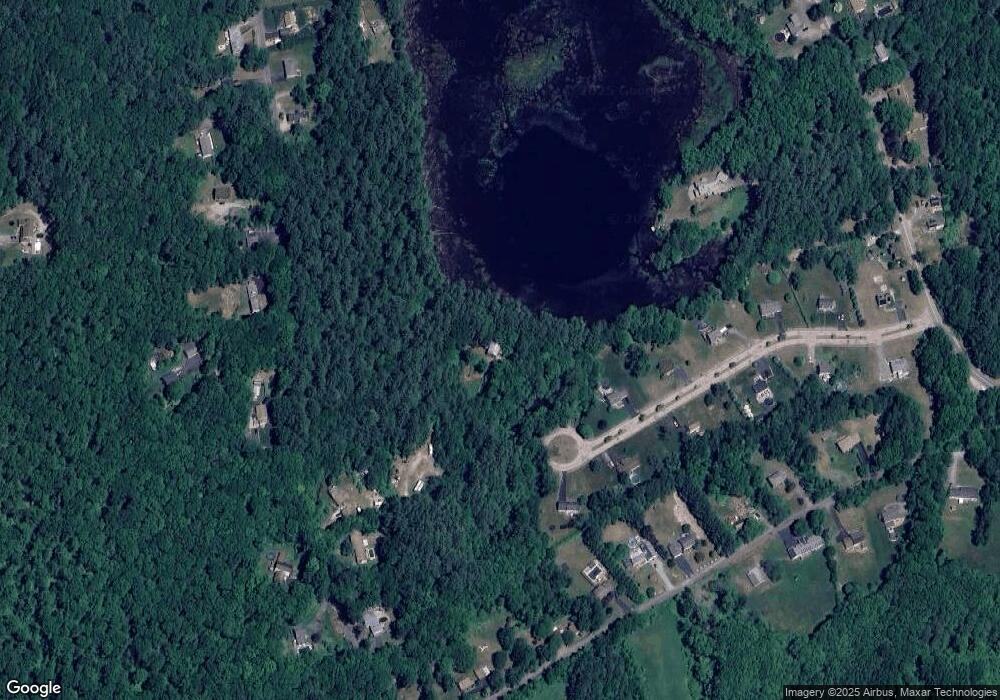
Map
Nearby Homes
- 62 Larned Rd
- 28 Holly St
- 9 Nottingham Rd
- 32 Carron Ln
- 137 Main St
- 1 Hemlock St
- 24 Linwood St
- 13 Tanner Rd
- 36 Locust St
- 53 Bigelow Rd
- 0 Hayden Pond Rd
- 6 Carol Dr
- 45 Cudworth Rd
- 4 Toria Heights Rd
- 124 Charlton St Unit F
- 58 Lelandville Rd
- 1 Howarth Rd
- 44 Camile Rd
- L0T 12 History Dr
- Lots 1+16 Pierpont Rd