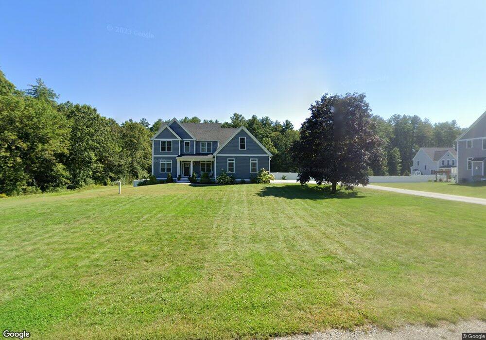
14 Snow Ln Hollis, NH 03049
Hollis NeighborhoodEstimated Value: $1,225,000 - $1,503,000
4
Beds
4
Baths
3,604
Sq Ft
$392/Sq Ft
Est. Value
About This Home
This home is located at 14 Snow Ln, Hollis, NH 03049 and is currently estimated at $1,412,158, approximately $391 per square foot. 14 Snow Ln is a home with nearby schools including Hollis Primary School, Hollis Upper Elementary School, and Hollis-Brookline Middle School.
Ownership History
Date
Name
Owned For
Owner Type
Purchase Details
Closed on
Feb 20, 2018
Sold by
L & Z Investments Llc
Bought by
Derego Todd A and Derego Beth A
Current Estimated Value
Home Financials for this Owner
Home Financials are based on the most recent Mortgage that was taken out on this home.
Original Mortgage
$594,000
Outstanding Balance
$502,558
Interest Rate
3.95%
Mortgage Type
Purchase Money Mortgage
Estimated Equity
$909,600
Create a Home Valuation Report for This Property
The Home Valuation Report is an in-depth analysis detailing your home's value as well as a comparison with similar homes in the area
Home Values in the Area
Average Home Value in this Area
Purchase History
| Date | Buyer | Sale Price | Title Company |
|---|---|---|---|
| Derego Todd A | $792,733 | -- |
Source: Public Records
Mortgage History
| Date | Status | Borrower | Loan Amount |
|---|---|---|---|
| Open | Derego Todd A | $594,000 |
Source: Public Records
Tax History Compared to Growth
Tax History
| Year | Tax Paid | Tax Assessment Tax Assessment Total Assessment is a certain percentage of the fair market value that is determined by local assessors to be the total taxable value of land and additions on the property. | Land | Improvement |
|---|---|---|---|---|
| 2024 | $21,404 | $1,207,200 | $302,100 | $905,100 |
| 2023 | $19,762 | $1,186,200 | $302,100 | $884,100 |
| 2022 | $26,773 | $1,186,200 | $302,100 | $884,100 |
| 2021 | $17,434 | $768,000 | $195,600 | $572,400 |
| 2020 | $17,461 | $753,300 | $195,600 | $557,700 |
| 2019 | $17,170 | $743,300 | $195,600 | $547,700 |
| 2018 | $17,063 | $787,400 | $195,600 | $591,800 |
| 2017 | $19 | $838 | $838 | $0 |
| 2016 | $20 | $838 | $838 | $0 |
| 2015 | $19 | $838 | $838 | $0 |
| 2014 | $19 | $838 | $838 | $0 |
Source: Public Records
Map
Nearby Homes
- 11 Rideout Rd
- 5 Plainfield Ln
- 11 Bartemus Trail Unit 204
- 1014 W Hollis St
- 334 Broad St
- 76 Bartemus Trail Unit U231
- 95 Wright Rd
- 20 Martha St
- 28 Bartemus Trail Unit U210
- 2 Matties Way
- 4 Chesapeake Rd
- 1 Ladd Ln
- 9-48-8 Ladd Ln
- 12 Clovercrest Dr
- 46 Scenic Dr
- 199 Pine Hill Rd
- 7 Lovejoy Ln
- 118 Broad St
- 12 Spring Cove Rd Unit U103
- 40 Spring Cove Rd Unit U117