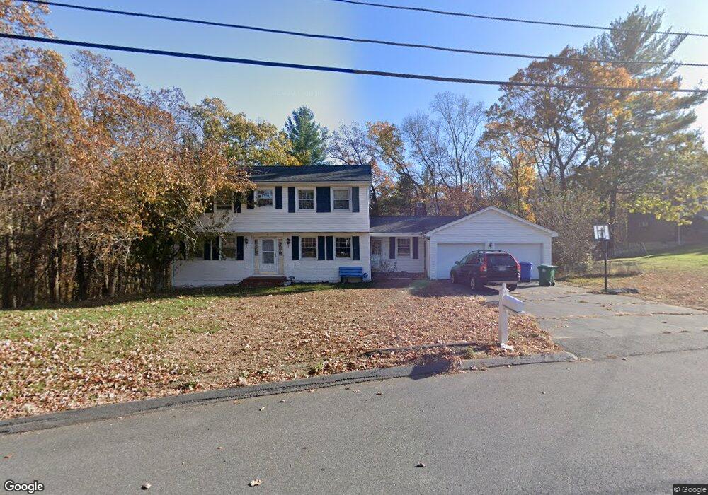
14 Sparhawk Dr Burlington, MA 01803
Burlington Town Center NeighborhoodEstimated Value: $920,000 - $1,150,000
4
Beds
3
Baths
2,200
Sq Ft
$462/Sq Ft
Est. Value
About This Home
This home is located at 14 Sparhawk Dr, Burlington, MA 01803 and is currently estimated at $1,015,612, approximately $461 per square foot. 14 Sparhawk Dr is a home located in Middlesex County with nearby schools including Burlington High School, Marshall Simonds Middle School, and Mount Hope Christian School.
Ownership History
Date
Name
Owned For
Owner Type
Purchase Details
Closed on
May 3, 1999
Sold by
Taccini Robert J and Taccini Helen R
Bought by
Chivaluri Dinkar
Current Estimated Value
Home Financials for this Owner
Home Financials are based on the most recent Mortgage that was taken out on this home.
Original Mortgage
$275,920
Outstanding Balance
$70,761
Interest Rate
6.95%
Mortgage Type
Purchase Money Mortgage
Estimated Equity
$944,851
Purchase Details
Closed on
Jul 12, 1995
Sold by
Steele Paul A and Steele Jeanne M
Bought by
Taccini Robert J and Taccini Helen R
Home Financials for this Owner
Home Financials are based on the most recent Mortgage that was taken out on this home.
Original Mortgage
$222,400
Interest Rate
7.7%
Mortgage Type
Purchase Money Mortgage
Create a Home Valuation Report for This Property
The Home Valuation Report is an in-depth analysis detailing your home's value as well as a comparison with similar homes in the area
Home Values in the Area
Average Home Value in this Area
Purchase History
| Date | Buyer | Sale Price | Title Company |
|---|---|---|---|
| Chivaluri Dinkar | $344,900 | -- | |
| Taccini Robert J | $278,000 | -- | |
| Taccini Robert J | $278,000 | -- |
Source: Public Records
Mortgage History
| Date | Status | Borrower | Loan Amount |
|---|---|---|---|
| Open | Taccini Robert J | $275,920 | |
| Previous Owner | Taccini Robert J | $222,400 | |
| Previous Owner | Taccini Robert J | $25,000 |
Source: Public Records
Tax History Compared to Growth
Tax History
| Year | Tax Paid | Tax Assessment Tax Assessment Total Assessment is a certain percentage of the fair market value that is determined by local assessors to be the total taxable value of land and additions on the property. | Land | Improvement |
|---|---|---|---|---|
| 2025 | $7,177 | $828,800 | $439,500 | $389,300 |
| 2024 | $7,001 | $783,100 | $401,300 | $381,800 |
| 2023 | $6,785 | $721,800 | $348,100 | $373,700 |
| 2022 | $6,605 | $663,800 | $316,800 | $347,000 |
| 2021 | $6,464 | $649,600 | $301,600 | $348,000 |
| 2020 | $6,156 | $638,600 | $296,800 | $341,800 |
| 2019 | $6,157 | $587,500 | $277,800 | $309,700 |
| 2018 | $6,105 | $574,900 | $277,800 | $297,100 |
| 2017 | $5,949 | $574,900 | $277,800 | $297,100 |
| 2016 | $5,912 | $515,900 | $239,800 | $276,100 |
| 2015 | $5,855 | $515,900 | $239,800 | $276,100 |
| 2014 | $5,687 | $473,900 | $207,500 | $266,400 |
Source: Public Records
Map
Nearby Homes
- 210 Winn St
- 6 Kendal Dr
- 38 Freeport Dr
- 23 Ward St Unit A
- 21 Spring Valley Rd
- 16 Sunnyside Rd
- 129 Cambridge St Unit 1
- 29 Grove Ln Unit 29
- 50 Hill Cir
- 6 Tidd Ave
- 6R & 6 Tidd Ave
- 846 Main St
- 4 Ardmore Ave
- 29 Overlook Ave
- 10 Murray Ave Unit 15
- 12 Murray Ave Unit 18
- 6 Arthur Woods Ave
- 26 E Dexter Ave
- 5 Shady Lane Dr
- 45 Merrimac St Unit 30 AKA 13A