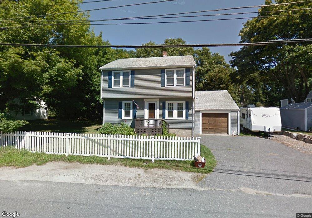
14 Stanwood St Gloucester, MA 01930
Estimated Value: $696,712 - $834,000
3
Beds
3
Baths
1,842
Sq Ft
$408/Sq Ft
Est. Value
About This Home
This home is located at 14 Stanwood St, Gloucester, MA 01930 and is currently estimated at $751,178, approximately $407 per square foot. 14 Stanwood St is a home located in Essex County with nearby schools including Beeman Memorial, Ralph B O'maley Middle School, and Gloucester High School.
Ownership History
Date
Name
Owned For
Owner Type
Purchase Details
Closed on
Oct 26, 2022
Sold by
Rose Carol A and Rose Frank
Bought by
Carol A Rose Lt
Current Estimated Value
Purchase Details
Closed on
Aug 1, 1978
Bought by
Rose Frank and Strescino Carol Ann
Create a Home Valuation Report for This Property
The Home Valuation Report is an in-depth analysis detailing your home's value as well as a comparison with similar homes in the area
Home Values in the Area
Average Home Value in this Area
Purchase History
| Date | Buyer | Sale Price | Title Company |
|---|---|---|---|
| Carol A Rose Lt | -- | None Available | |
| Rose Frank | $38,500 | -- |
Source: Public Records
Mortgage History
| Date | Status | Borrower | Loan Amount |
|---|---|---|---|
| Previous Owner | Rose Frank | $60,000 |
Source: Public Records
Tax History Compared to Growth
Tax History
| Year | Tax Paid | Tax Assessment Tax Assessment Total Assessment is a certain percentage of the fair market value that is determined by local assessors to be the total taxable value of land and additions on the property. | Land | Improvement |
|---|---|---|---|---|
| 2025 | $5,828 | $599,000 | $183,700 | $415,300 |
| 2024 | $5,828 | $599,000 | $183,700 | $415,300 |
| 2023 | $5,579 | $526,800 | $164,000 | $362,800 |
| 2022 | $5,400 | $460,400 | $142,700 | $317,700 |
| 2021 | $5,211 | $418,900 | $129,700 | $289,200 |
| 2020 | $5,160 | $418,500 | $129,700 | $288,800 |
| 2019 | $4,954 | $390,400 | $129,700 | $260,700 |
| 2018 | $4,785 | $370,100 | $129,700 | $240,400 |
| 2017 | $4,635 | $351,400 | $123,500 | $227,900 |
| 2016 | $4,546 | $334,000 | $128,800 | $205,200 |
| 2015 | $4,447 | $325,800 | $128,800 | $197,000 |
Source: Public Records
Map
Nearby Homes
- 16 Reynard St
- 49 Thurston Point Rd
- 672 Washington St
- 79 Dennison St
- 18 Cherry St
- 3 Tidal Cove Way
- 6 River Rd
- 28 Riverview Rd Unit B
- 273 Washington St Unit 2
- 178 Atlantic St
- 13 & 10 Ferry Hill Rd
- 226 Atlantic St
- 188 Atlantic St
- 6 Beauport Ave
- 7 Cove Way
- 4 Lane Rd
- 8 Arthur St
- 40 Sargent St
- 13 1/2 Cleveland St
- 185 Washington St