14 Thaxter Ln Kittery Point, ME 03905
Kittery Point NeighborhoodEstimated Value: $3,280,000 - $4,494,000
4
Beds
4
Baths
5,856
Sq Ft
$682/Sq Ft
Est. Value
About This Home
This home is located at 14 Thaxter Ln, Kittery Point, ME 03905 and is currently estimated at $3,993,914, approximately $682 per square foot. 14 Thaxter Ln is a home located in York County with nearby schools including Horace Mitchell Primary School, Shapleigh School, and Robert W Traip Academy.
Ownership History
Date
Name
Owned For
Owner Type
Purchase Details
Closed on
Jul 14, 2005
Sold by
Lord Nancy L
Bought by
Nancy L Lord Ret
Current Estimated Value
Create a Home Valuation Report for This Property
The Home Valuation Report is an in-depth analysis detailing your home's value as well as a comparison with similar homes in the area
Home Values in the Area
Average Home Value in this Area
Purchase History
| Date | Buyer | Sale Price | Title Company |
|---|---|---|---|
| Nancy L Lord Ret | -- | -- | |
| Lord Nancy L | -- | -- |
Source: Public Records
Tax History
| Year | Tax Paid | Tax Assessment Tax Assessment Total Assessment is a certain percentage of the fair market value that is determined by local assessors to be the total taxable value of land and additions on the property. | Land | Improvement |
|---|---|---|---|---|
| 2024 | $35,619 | $2,508,400 | $1,186,200 | $1,322,200 |
| 2023 | $34,139 | $2,508,400 | $1,186,200 | $1,322,200 |
| 2022 | $33,813 | $2,508,400 | $1,186,200 | $1,322,200 |
| 2021 | $32,609 | $2,508,400 | $1,186,200 | $1,322,200 |
| 2020 | $32,358 | $2,508,400 | $1,186,200 | $1,322,200 |
| 2019 | $34,266 | $1,969,300 | $754,400 | $1,214,900 |
| 2018 | $8,418 | $1,969,300 | $754,400 | $1,214,900 |
| 2017 | $32,493 | $1,969,300 | $754,400 | $1,214,900 |
| 2016 | $8,486 | $1,949,600 | $754,400 | $1,195,200 |
| 2015 | $30,652 | $1,956,100 | $754,400 | $1,201,700 |
| 2014 | $30,359 | $1,956,100 | $754,400 | $1,201,700 |
| 2013 | $29,404 | $1,931,900 | $754,400 | $1,177,500 |
Source: Public Records
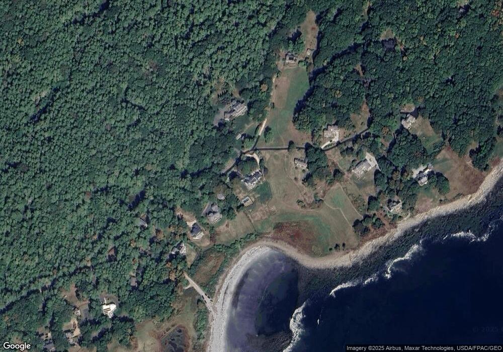
Map
Nearby Homes
- 2 Washburn Farm Ln Unit 1
- 25 Bartlett Rd
- 7 Washburn Farm Ln Unit 9
- 12 Washburn Farm Ln Unit 3
- 18 Washburn Farm Ln Unit 4
- 109 Bartlett Rd
- 13 Washburn Farm Ln Unit 7
- 3 Izzy Ln
- 4 Ice House Point
- 2 Woodside Meadow Rd
- 50 Lewis Rd
- 36 Cedar Dr
- 18 Woodside Meadow Rd Unit 4
- 24 Seabreeze Ln
- 23 Harmon Park Rd
- 419 & 425 York St
- 425 York St
- 8 Spruce Point Rd
- 21 Starboard Ln
- 75 Caincrest Rd
Your Personal Tour Guide
Ask me questions while you tour the home.