14 Water Rd Goffstown, NH 03045
Estimated Value: $484,973 - $612,000
2
Beds
1
Bath
1,778
Sq Ft
$311/Sq Ft
Est. Value
About This Home
This home is located at 14 Water Rd, Goffstown, NH 03045 and is currently estimated at $552,743, approximately $310 per square foot. 14 Water Rd is a home with nearby schools including Mountain View Middle School, Goffstown High School, and Polaris Charter School.
Ownership History
Date
Name
Owned For
Owner Type
Purchase Details
Closed on
Aug 27, 2019
Sold by
Balles Kim
Bought by
Robbins Michael
Current Estimated Value
Purchase Details
Closed on
Sep 25, 2015
Sold by
David Balles Ret
Bought by
Balles Kristin
Home Financials for this Owner
Home Financials are based on the most recent Mortgage that was taken out on this home.
Original Mortgage
$240,000
Interest Rate
3.97%
Purchase Details
Closed on
May 11, 1999
Sold by
Levasseur Joseph A and Levasseur Jeannette I
Bought by
Balles David A and Balles Kim T
Create a Home Valuation Report for This Property
The Home Valuation Report is an in-depth analysis detailing your home's value as well as a comparison with similar homes in the area
Home Values in the Area
Average Home Value in this Area
Purchase History
| Date | Buyer | Sale Price | Title Company |
|---|---|---|---|
| Robbins Michael | -- | -- | |
| Balles Kristin | $300,000 | -- | |
| Balles David A | $92,000 | -- |
Source: Public Records
Mortgage History
| Date | Status | Borrower | Loan Amount |
|---|---|---|---|
| Previous Owner | Balles Kristin | $240,000 |
Source: Public Records
Tax History Compared to Growth
Tax History
| Year | Tax Paid | Tax Assessment Tax Assessment Total Assessment is a certain percentage of the fair market value that is determined by local assessors to be the total taxable value of land and additions on the property. | Land | Improvement |
|---|---|---|---|---|
| 2024 | $7,692 | $376,300 | $160,500 | $215,800 |
| 2023 | $7,040 | $373,300 | $160,500 | $212,800 |
| 2022 | $6,777 | $257,600 | $118,000 | $139,600 |
| 2021 | $6,394 | $257,600 | $118,000 | $139,600 |
| 2020 | $6,394 | $257,600 | $118,000 | $139,600 |
| 2019 | $3 | $257,600 | $118,000 | $139,600 |
| 2018 | $3,561 | $257,600 | $118,000 | $139,600 |
| 2017 | $5,775 | $218,500 | $96,800 | $121,700 |
| 2016 | $3 | $218,500 | $96,800 | $121,700 |
| 2015 | $5,649 | $200,600 | $85,500 | $115,100 |
| 2014 | $5,362 | $198,600 | $85,500 | $113,100 |
Source: Public Records
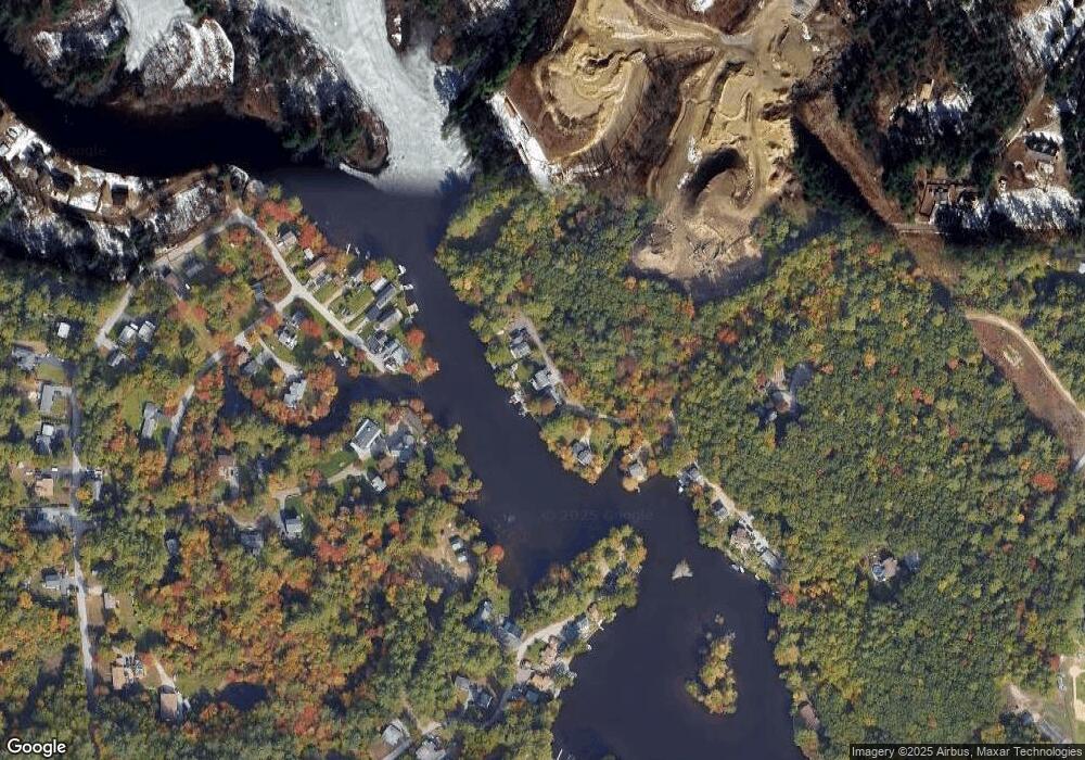
Map
Nearby Homes
- 11-1 Chatel Rd
- 37 Chatel Rd
- 39 Bay St
- 43 Bay St
- 10 Conestoga Ct Unit 10A
- 3 Arabian Ct Unit A
- 4 Arabian Ct Unit B
- 2B Dearborn Cir
- 1B Dearborn Cir
- 62 Roger Rd
- 46 Moose Club Park Rd
- 102 Partridge Ln
- 21 Katherine St
- 2 Shore Dr
- 1306 Goffstown Rd Unit 9
- 36 Durango Dr
- 0 Mast Rd Unit 49 5054665
- 2 Larch St Unit 22
- 11 Oakwood Cir Unit 9
- 15 Leslie Dr
- 16 Water Rd
- 32 Water Rd
- 4 Water Rd
- 69 Sarette Rd
- 19 Sonny Ave
- 71 Sarette Rd
- 30 Andre St
- 17 Sonny Ave
- 73 Sarette Rd
- 15 Sonny Ave
- 11 Sonny Ave
- 75 Lynchville Park Rd
- 26 Andre St
- 27 Andre St
- 96 Lynchville Park Rd
- 98 Lynchville Park Rd
- 9 Sonny Ave
- 93 Lynchville Park Rd
- 90 Lynchville Park Rd
- 90 Lynchville Park Rd