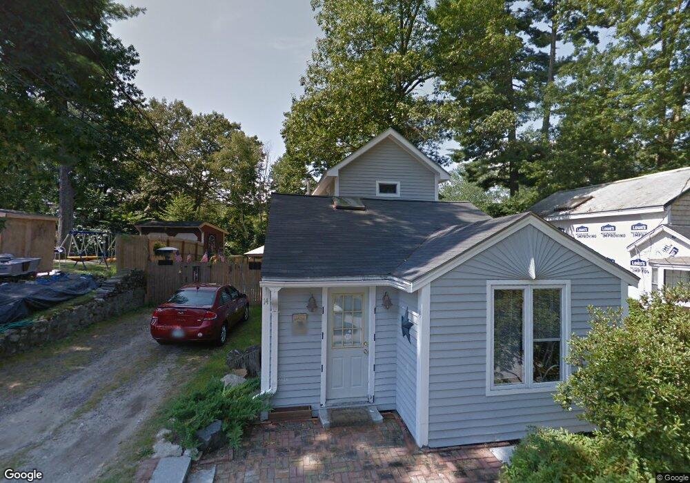
14 West St Amherst, NH 03031
Estimated Value: $334,000 - $452,000
2
Beds
1
Bath
1,063
Sq Ft
$359/Sq Ft
Est. Value
About This Home
This home is located at 14 West St, Amherst, NH 03031 and is currently estimated at $381,363, approximately $358 per square foot. 14 West St is a home located in Hillsborough County with nearby schools including Wilkins Elementary School, Amherst Middle School, and Souhegan Cooperative High School.
Ownership History
Date
Name
Owned For
Owner Type
Purchase Details
Closed on
Feb 14, 2020
Sold by
Sinclair David
Bought by
Sinclair David and Sinclair Dee A
Current Estimated Value
Purchase Details
Closed on
Nov 28, 2011
Sold by
Smith Aaron B and Fox Priscilla A
Bought by
Sinclair David
Home Financials for this Owner
Home Financials are based on the most recent Mortgage that was taken out on this home.
Original Mortgage
$123,780
Interest Rate
4.12%
Mortgage Type
Purchase Money Mortgage
Purchase Details
Closed on
Oct 7, 2003
Sold by
Smith Matthew J and Smith Catherine E
Bought by
Smith Aaron B
Home Financials for this Owner
Home Financials are based on the most recent Mortgage that was taken out on this home.
Original Mortgage
$155,200
Interest Rate
6.25%
Purchase Details
Closed on
Mar 17, 2003
Sold by
Elliott Thomas P
Bought by
Smith Matthew J and Smith Catherine E
Home Financials for this Owner
Home Financials are based on the most recent Mortgage that was taken out on this home.
Original Mortgage
$118,736
Interest Rate
5.94%
Purchase Details
Closed on
Nov 7, 1997
Sold by
Searcy Mark A and Searcy Deborah L
Bought by
Elliott Thomas P
Home Financials for this Owner
Home Financials are based on the most recent Mortgage that was taken out on this home.
Original Mortgage
$52,000
Interest Rate
7.19%
Create a Home Valuation Report for This Property
The Home Valuation Report is an in-depth analysis detailing your home's value as well as a comparison with similar homes in the area
Home Values in the Area
Average Home Value in this Area
Purchase History
| Date | Buyer | Sale Price | Title Company |
|---|---|---|---|
| Sinclair David | -- | None Available | |
| Sinclair David | $127,000 | -- | |
| Smith Aaron B | $160,000 | -- | |
| Smith Matthew J | $120,600 | -- | |
| Elliott Thomas P | $65,000 | -- |
Source: Public Records
Mortgage History
| Date | Status | Borrower | Loan Amount |
|---|---|---|---|
| Previous Owner | Elliott Thomas P | $123,780 | |
| Previous Owner | Elliott Thomas P | $155,200 | |
| Previous Owner | Elliott Thomas P | $118,736 | |
| Previous Owner | Elliott Thomas P | $52,000 |
Source: Public Records
Tax History Compared to Growth
Tax History
| Year | Tax Paid | Tax Assessment Tax Assessment Total Assessment is a certain percentage of the fair market value that is determined by local assessors to be the total taxable value of land and additions on the property. | Land | Improvement |
|---|---|---|---|---|
| 2024 | $5,400 | $235,500 | $106,000 | $129,500 |
| 2023 | $5,153 | $235,500 | $106,000 | $129,500 |
| 2022 | $4,951 | $234,300 | $106,000 | $128,300 |
| 2021 | $4,993 | $234,300 | $106,000 | $128,300 |
| 2020 | $4,218 | $148,100 | $81,300 | $66,800 |
| 2019 | $3,993 | $148,100 | $81,300 | $66,800 |
| 2018 | $4,033 | $148,100 | $81,300 | $66,800 |
| 2017 | $3,852 | $148,100 | $81,300 | $66,800 |
| 2016 | $3,717 | $148,100 | $81,300 | $66,800 |
| 2015 | $3,967 | $149,800 | $84,900 | $64,900 |
| 2014 | $3,994 | $149,800 | $84,900 | $64,900 |
| 2013 | $3,962 | $149,800 | $84,900 | $64,900 |
Source: Public Records
Map
Nearby Homes
- 4 Milford St
- 2 Baxter Ln
- 4 Miriam Rd
- 5 Carter Rd
- 10 Colman Path
- 37 Baboosic Lake Rd
- 79 Woodward Rd
- 10 Winterberry Dr
- 24 Brook Rd
- 1A Debbie Ln
- 40 Captain Bannon Cir
- 14 Silver Doe Ln
- 2 County Rd
- 007-056 MacK Hill Rd
- 29 Brieann Dr
- 18 Storybrook Ln
- 3 Renee Dr
- 9 Northfield Rd
- 2A Renee Dr
- 101 Horace Greeley Rd