14 White Sands Rd Moodus, CT 06469
Estimated Value: $319,158 - $372,000
3
Beds
1
Bath
1,020
Sq Ft
$336/Sq Ft
Est. Value
About This Home
This home is located at 14 White Sands Rd, Moodus, CT 06469 and is currently estimated at $342,290, approximately $335 per square foot. 14 White Sands Rd is a home located in Middlesex County with nearby schools including East Haddam Elementary School, Nathan Hale-Ray Middle School, and Nathan Hale-Ray High School.
Ownership History
Date
Name
Owned For
Owner Type
Purchase Details
Closed on
Oct 10, 2001
Sold by
Arabas Michael D and Arabas Pamela J
Bought by
Cooper Mark and Cooper Karen L
Current Estimated Value
Home Financials for this Owner
Home Financials are based on the most recent Mortgage that was taken out on this home.
Original Mortgage
$140,882
Outstanding Balance
$54,696
Interest Rate
6.93%
Estimated Equity
$287,594
Purchase Details
Closed on
Jul 26, 1988
Sold by
Ley Bryant E
Bought by
Arabas Michael D
Create a Home Valuation Report for This Property
The Home Valuation Report is an in-depth analysis detailing your home's value as well as a comparison with similar homes in the area
Home Values in the Area
Average Home Value in this Area
Purchase History
| Date | Buyer | Sale Price | Title Company |
|---|---|---|---|
| Cooper Mark | $142,000 | -- | |
| Arabas Michael D | $144,000 | -- |
Source: Public Records
Mortgage History
| Date | Status | Borrower | Loan Amount |
|---|---|---|---|
| Open | Arabas Michael D | $140,882 | |
| Previous Owner | Arabas Michael D | $98,250 | |
| Previous Owner | Arabas Michael D | $9,990 | |
| Previous Owner | Arabas Michael D | $19,996 |
Source: Public Records
Tax History Compared to Growth
Tax History
| Year | Tax Paid | Tax Assessment Tax Assessment Total Assessment is a certain percentage of the fair market value that is determined by local assessors to be the total taxable value of land and additions on the property. | Land | Improvement |
|---|---|---|---|---|
| 2025 | $4,401 | $156,830 | $77,450 | $79,380 |
| 2024 | $4,197 | $156,830 | $77,450 | $79,380 |
| 2023 | $4,038 | $156,830 | $77,450 | $79,380 |
| 2022 | $3,704 | $116,520 | $52,960 | $63,560 |
| 2021 | $3,547 | $116,520 | $52,960 | $63,560 |
| 2020 | $3,547 | $116,520 | $52,960 | $63,560 |
| 2019 | $3,547 | $116,520 | $52,960 | $63,560 |
| 2018 | $3,456 | $116,520 | $52,960 | $63,560 |
| 2017 | $3,397 | $114,840 | $52,960 | $61,880 |
| 2016 | $3,371 | $114,840 | $52,960 | $61,880 |
| 2015 | $3,294 | $114,840 | $52,960 | $61,880 |
| 2014 | $3,205 | $114,870 | $52,990 | $61,880 |
Source: Public Records
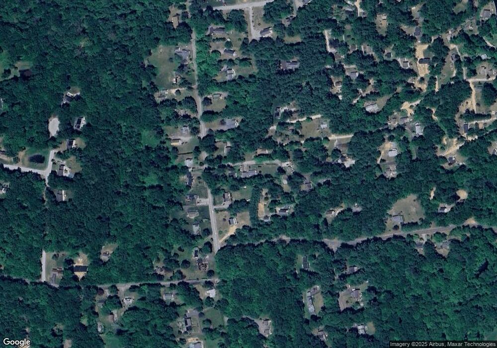
Map
Nearby Homes
- 53 Falls Bashan Rd
- 154 Falls Rd
- 42 Dogwood Rd
- 8 Tom Rd
- 53 Falls Rd
- 114 Lakeside Dr
- 213 Waterhole Rd
- 5 Joe Williams Rd
- 45 Alger Rd
- 115 Lakeview Dr
- 145 Lakeview Dr
- 115 Sillimanville Rd
- 21 Olmstead Rd
- 398 E Haddam Moodus Rd
- 23 Olmstead Rd
- 213 Lakeview Dr
- 0 Lakeside Dr
- 67 Moodus Leesville Rd
- 597 Westchester Rd
- 8 Augusta Cir Unit 8
- 19 White Sands Rd
- 6 White Sands Rd
- 44 Falls Bashan Rd
- 30 White Sands Rd
- 29 White Sands Rd
- 20 Woodland Rd
- 48 Falls Bashan Rd
- 7 Stocking Lot Rd
- 8 Pine Tree Rd
- 3 Pine Tree Rd
- 52 Falls Bashan Rd
- 40 Falls Bashan Rd
- 38 White Sands Rd
- 23 Woodland Rd
- 29 Woodland Rd
- 11 Pine Tree Rd
- 11 Stocking Lot Rd
- Lot 11 Winterbrooke Rd
- 39 White Sands Rd
- 56 Falls Bashan Rd