Estimated Value: $660,376 - $679,000
2
Beds
3
Baths
1,842
Sq Ft
$363/Sq Ft
Est. Value
About This Home
This home is located at 14 Windward Pointe Dr Unit 39, Wells, ME 04090 and is currently estimated at $668,344, approximately $362 per square foot. 14 Windward Pointe Dr Unit 39 is a home located in York County with nearby schools including Wells Junior High School, Wells Elementary School, and Wells High School.
Ownership History
Date
Name
Owned For
Owner Type
Purchase Details
Closed on
Dec 23, 2013
Sold by
Kasprzak Homes Inc
Bought by
Deleo Susan M
Current Estimated Value
Purchase Details
Closed on
Oct 1, 2013
Sold by
Kasprzak Homes Inc
Bought by
Cody Thomas H and Cody Lynne E
Home Financials for this Owner
Home Financials are based on the most recent Mortgage that was taken out on this home.
Original Mortgage
$260,900
Outstanding Balance
$195,436
Interest Rate
4.42%
Mortgage Type
Purchase Money Mortgage
Estimated Equity
$472,908
Create a Home Valuation Report for This Property
The Home Valuation Report is an in-depth analysis detailing your home's value as well as a comparison with similar homes in the area
Home Values in the Area
Average Home Value in this Area
Purchase History
| Date | Buyer | Sale Price | Title Company |
|---|---|---|---|
| Deleo Susan M | -- | -- | |
| Cody Thomas H | -- | -- |
Source: Public Records
Mortgage History
| Date | Status | Borrower | Loan Amount |
|---|---|---|---|
| Open | Cody Thomas H | $260,900 |
Source: Public Records
Tax History Compared to Growth
Tax History
| Year | Tax Paid | Tax Assessment Tax Assessment Total Assessment is a certain percentage of the fair market value that is determined by local assessors to be the total taxable value of land and additions on the property. | Land | Improvement |
|---|---|---|---|---|
| 2024 | $3,059 | $503,060 | $138,570 | $364,490 |
| 2023 | $2,998 | $503,060 | $138,570 | $364,490 |
| 2022 | $3,252 | $310,900 | $62,910 | $247,990 |
| 2021 | $3,271 | $310,900 | $62,910 | $247,990 |
| 2020 | $3,258 | $310,900 | $62,910 | $247,990 |
| 2019 | $3,240 | $310,900 | $62,910 | $247,990 |
| 2018 | $3,316 | $321,340 | $62,910 | $258,430 |
| 2017 | $3,265 | $321,340 | $62,910 | $258,430 |
| 2016 | $3,233 | $321,340 | $62,910 | $258,430 |
| 2015 | $3,197 | $321,340 | $62,910 | $258,430 |
| 2013 | $3,025 | $331,680 | $62,910 | $268,770 |
Source: Public Records
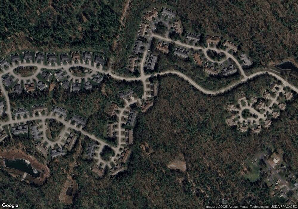
Map
Nearby Homes
- 53 Hidden Brook Dr Unit 13
- 15 Heritage Dr Unit 15
- 102 Heron Landing Dr Unit 22
- 50 Coles Hill Rd
- 557 Coles Hill Rd
- 66 Nicholas Dr
- 2090 Post Rd Unit 4B
- 2073 Post Rd Unit 5
- 238 Laudholm Farm Rd
- 17 Cascade Cir Unit 19
- 4 Cider Mill Ln
- 5 Cider Mill Ln
- 3 Cider Mill Ln
- 43 Sylvan Way Unit 10
- 1830 Post Rd
- 1762 Post Rd Unit 209
- 1801 Post Rd Unit 174
- 1801 Post Rd Unit 190
- 1801 Post Rd Unit 180
- 54 Sycamore Ln Unit 19
- 12 Windward Pointe Dr Unit 40
- 12 Windward Pointe Dr Unit 12
- 16 Windward Pointe Dr Unit 38
- 8 Windward Pointe Dr Unit 41
- 6 Windward Pointe Dr Unit 42
- 4 Windward Pointe Dr Unit 43
- 19 Windward Pointe Dr
- 19 Windward Pointe Dr Unit 1
- 21 Windward Pointe Dr Unit 2
- 30 Windward Pointe Dr Unit 36
- 30 Windward Pointe Dr
- 32 Windward Pointe Dr Unit 35
- 23 Windward Pointe Dr Unit 3
- 34 Windward Pointe Dr Unit 34
- 36 Windward Pointe Dr Unit 33
- 29 Windward Pointe Dr Unit 5
- 33 Windward Pointe Dr Unit 7
- 57 Schooner Way Unit 32
- 46 Windward Pointe Dr Unit 32
- 55 Schooner Way Unit 31