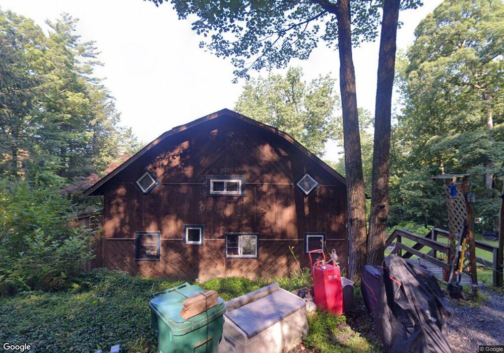
14 Woodruff Way Northfield, MA 01360
Estimated Value: $228,000 - $280,467
3
Beds
1
Bath
1,534
Sq Ft
$169/Sq Ft
Est. Value
About This Home
This home is located at 14 Woodruff Way, Northfield, MA 01360 and is currently estimated at $258,867, approximately $168 per square foot. 14 Woodruff Way is a home located in Franklin County with nearby schools including Pioneer Valley Regional.
Ownership History
Date
Name
Owned For
Owner Type
Purchase Details
Closed on
Oct 26, 2004
Sold by
Yelle Louis P
Bought by
Bergeron Lisa A and Yelle Lisa A
Current Estimated Value
Purchase Details
Closed on
Mar 31, 2003
Sold by
Egan Daniel M and Egan Kimberly
Bought by
Yelle Lisa A and Yelle Louise P
Home Financials for this Owner
Home Financials are based on the most recent Mortgage that was taken out on this home.
Original Mortgage
$118,320
Interest Rate
5.91%
Mortgage Type
Purchase Money Mortgage
Purchase Details
Closed on
May 4, 1998
Sold by
Kent Michael C
Bought by
Egan Daniel M and Egan Kimberly
Create a Home Valuation Report for This Property
The Home Valuation Report is an in-depth analysis detailing your home's value as well as a comparison with similar homes in the area
Home Values in the Area
Average Home Value in this Area
Purchase History
| Date | Buyer | Sale Price | Title Company |
|---|---|---|---|
| Bergeron Lisa A | -- | -- | |
| Yelle Lisa A | $116,000 | -- | |
| Egan Daniel M | $74,000 | -- |
Source: Public Records
Mortgage History
| Date | Status | Borrower | Loan Amount |
|---|---|---|---|
| Open | Egan Daniel M | $127,100 | |
| Previous Owner | Egan Daniel M | $118,320 |
Source: Public Records
Tax History Compared to Growth
Tax History
| Year | Tax Paid | Tax Assessment Tax Assessment Total Assessment is a certain percentage of the fair market value that is determined by local assessors to be the total taxable value of land and additions on the property. | Land | Improvement |
|---|---|---|---|---|
| 2025 | $2,594 | $187,400 | $38,100 | $149,300 |
| 2024 | $2,469 | $181,800 | $35,900 | $145,900 |
| 2023 | $2,239 | $164,900 | $35,500 | $129,400 |
| 2022 | $2,023 | $146,100 | $35,500 | $110,600 |
| 2021 | $2,294 | $142,300 | $37,000 | $105,300 |
| 2020 | $2,279 | $137,200 | $37,000 | $100,200 |
| 2019 | $2,304 | $132,400 | $37,000 | $95,400 |
| 2018 | $2,358 | $132,000 | $37,000 | $95,000 |
| 2017 | $2,171 | $132,000 | $37,000 | $95,000 |
| 2016 | $2,097 | $132,000 | $37,000 | $95,000 |
| 2015 | $2,231 | $134,000 | $37,000 | $97,000 |
Source: Public Records
Map
Nearby Homes
- 14 Wood Way
- 181 Main St
- 94 Main St
- 22 Old Turnpike Rd
- 12 Parker Ave Unit 1
- 719 Mount Hermon Station Rd
- 294 Capt Beers Plain Rd
- 339 Burt Hill Rd
- 0 Old Tipping Rock Rd Unit 34
- 259 Bolton Rd
- 0 Sears St Unit 23759828
- Lot 14 Northfield Rd
- 49 Whitetail Dr
- 0, Lot 2 Flower Hill Rd
- 0, Lot 1 Flower Hill Rd
- 153 Back Ashuelot Rd
- 12 Wetherby Dr
- 19 Back Ashuelot Rd
- 104 S Mountain Rd
- 406 Back Ashuelot Rd