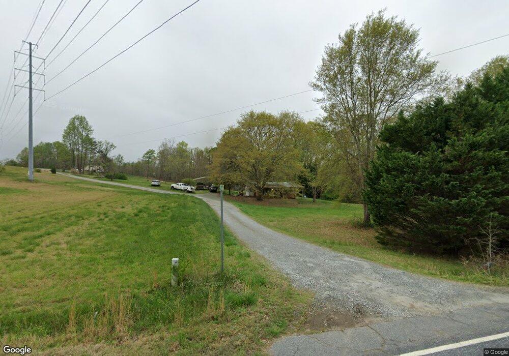
140 Baynard Dr Unit 382 Forest City, NC 28043
Estimated Value: $208,000 - $254,000
2
Beds
1
Bath
936
Sq Ft
$251/Sq Ft
Est. Value
About This Home
This home is located at 140 Baynard Dr Unit 382, Forest City, NC 28043 and is currently estimated at $234,744, approximately $250 per square foot. 140 Baynard Dr Unit 382 is a home located in Rutherford County with nearby schools including Mt. Vernon-Ruth Elementary School, R.S. Middle School, and R-S Central High School.
Ownership History
Date
Name
Owned For
Owner Type
Purchase Details
Closed on
Apr 26, 2021
Sold by
Baynard Franklin David and Baynard Lynn M
Bought by
Baynard Franklin David and Baynard Franklin David
Current Estimated Value
Purchase Details
Closed on
Apr 13, 2021
Sold by
Baynard Franklin David and Baynard Lynn M
Bought by
Baynard William David
Purchase Details
Closed on
Jul 22, 2016
Sold by
Baynard Franklin David and Baynard Lynn M
Bought by
Baynard William David
Purchase Details
Closed on
Sep 25, 2003
Bought by
Baynard Franklin David and Baynard Lynn M
Create a Home Valuation Report for This Property
The Home Valuation Report is an in-depth analysis detailing your home's value as well as a comparison with similar homes in the area
Home Values in the Area
Average Home Value in this Area
Purchase History
| Date | Buyer | Sale Price | Title Company |
|---|---|---|---|
| Baynard Franklin David | -- | -- | |
| Baynard William David | -- | None Available | |
| Baynard Franklin David | -- | None Available | |
| Baynard William David | -- | None Available | |
| Baynard Franklin David | $90,000 | -- |
Source: Public Records
Tax History Compared to Growth
Tax History
| Year | Tax Paid | Tax Assessment Tax Assessment Total Assessment is a certain percentage of the fair market value that is determined by local assessors to be the total taxable value of land and additions on the property. | Land | Improvement |
|---|---|---|---|---|
| 2025 | $1,192 | $172,700 | $76,400 | $96,300 |
| 2024 | $965 | $172,700 | $76,400 | $96,300 |
| 2023 | $841 | $172,700 | $76,400 | $96,300 |
| 2022 | $841 | $119,500 | $76,400 | $43,100 |
| 2021 | $795 | $112,900 | $74,600 | $38,300 |
| 2020 | $795 | $112,900 | $74,600 | $38,300 |
| 2019 | $764 | $112,900 | $74,600 | $38,300 |
| 2018 | $747 | $108,700 | $75,000 | $33,700 |
| 2016 | $747 | $108,700 | $75,000 | $33,700 |
| 2013 | -- | $108,700 | $75,000 | $33,700 |
Source: Public Records
Map
Nearby Homes
- 293 Shenandoah Dr
- 1074 Old Ballpark Rd
- 1737 Whitesides Rd
- 130 Bartley St
- 00 Ledbetter Rd
- 126 Campbell St
- 238 Lincoln Dr
- 337 Knollwood Dr
- 188 Academy St
- 182 Kensington Dr
- 496 Spindale St
- 00 Old Ballpark Rd
- 00 Old Ballpark Rd Unit LotWP001
- 117 Kingston Place
- 115 Kingston Place
- 105 Kingston Place
- 160 Central Park Cir
- 136 Augusta Dr
- 125 Charleston Ct
- 116 Memphis Way
- 901 Old Ball Park Rd
- 401 Old Ross Rd
- 430 Old Ross Rd
- 821 Old Ball Park Rd Unit 827
- 840 Old Ball Park Rd
- 800 Old Ball Park Rd
- 776 Old Ball Park Rd
- 250 Old Ross Rd
- 250 Old Ross Rd Unit 1
- 250 Old Ross Rd Unit 1 & 2
- 528 Old Ross Rd
- 248 Old Ross Rd Unit 2
- 664 Old Ball Park Rd
- 155 Flat Gap
- 124 Flat Gap Unit 155
- 198 High Peak
- 582 Old Ross Rd
- 581 Old Ross Rd Unit 591
- 202 Flat Gap
- 1060 Old Ballpark Rd
