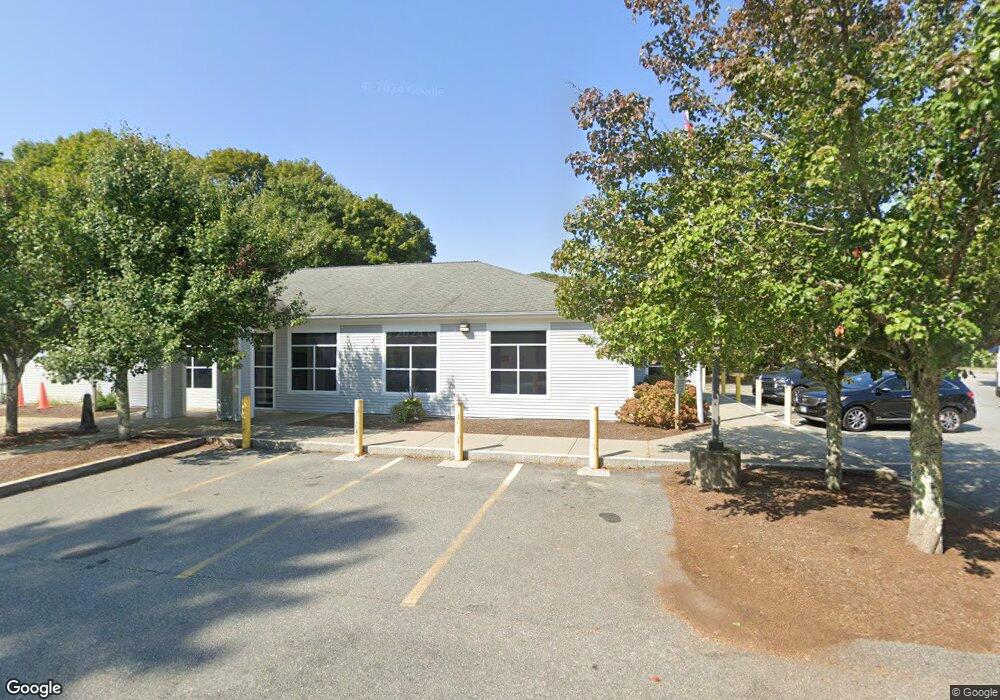
140 Captain Carleton's Rd Cotuit, MA 02635
Cotuit NeighborhoodEstimated Value: $1,005,000 - $1,092,000
About This Home
This home is located at 140 Captain Carleton's Rd, Cotuit, MA 02635 and is currently estimated at $1,051,708, approximately $482 per square foot. 140 Captain Carleton's Rd is a home located in Barnstable County with nearby schools including Barnstable United Elementary School, West Villages Elementary School, and Barnstable Intermediate School.
Ownership History
We collect this data history from publicly available records. To have your information removed, we recommend requesting removal directly through your county’s website.
Purchase Details
Home Financials for this Owner
Home Financials are based on the most recent Mortgage that was taken out on this home.Home Values in the Area
Average Home Value in this Area
Purchase History
We collect this data history from publicly available records. To have your information removed, we recommend requesting removal directly through your county’s website.
| Date | Buyer | Sale Price | Title Company |
|---|---|---|---|
| $825,000 | None Available |
Mortgage History
We collect this data history from publicly available records. To have your information removed, we recommend requesting removal directly through your county’s website.
| Date | Status | Borrower | Loan Amount |
|---|---|---|---|
| Open | $660,000 |
Tax History
We collect this data history from publicly available records. To have your information removed, we recommend requesting removal directly through your county’s website.
| Year | Tax Paid | Tax Assessment Tax Assessment Total Assessment is a certain percentage of the fair market value that is determined by local assessors to be the total taxable value of land and additions on the property. | Land | Improvement |
|---|---|---|---|---|
| 2025 | $7,892 | $945,200 | $180,000 | $765,200 |
| 2024 | $6,946 | $881,500 | $180,000 | $701,500 |
| 2023 | $6,599 | $788,400 | $177,800 | $610,600 |
| 2022 | $6,464 | $625,100 | $126,500 | $498,600 |
| 2021 | $6,032 | $546,300 | $126,500 | $419,800 |
| 2020 | $6,292 | $537,300 | $126,500 | $410,800 |
| 2019 | $5,900 | $496,600 | $126,500 | $370,100 |
| 2018 | $5,477 | $461,000 | $138,700 | $322,300 |
| 2017 | $5,319 | $450,800 | $138,700 | $312,100 |
| 2016 | $5,231 | $454,500 | $140,000 | $314,500 |
| 2015 | $5,011 | $435,000 | $137,100 | $297,900 |
Map
- 205 Little River Rd
- 174 Little River Rd
- 23 Prudence Ln
- 552 Main St
- 16 Pine View Dr
- 102 Waterford Dr
- 1519 Santuit Newtown Rd
- 75 Trout Brook Rd
- 10 Abbey Gate Rd
- 7 Oxford Dr
- 107 Abbey Gate Rd
- 239 Oxford Dr
- 263 Oxford Dr
- 134 School St
- 33 Oyster Place Rd
- 71 Sand Point
- 70 Cape Dr Unit 8B
- 70 Cape Dr Unit 8B
- 11 Riverview Ave Unit A
- 11 Riverview Ave Unit 11A
- 140 Captain Carltons Rd
- 124 Captain Carltons Rd
- 124 Captain Carltons Rd
- 100 Captain Samadrus Rd
- 100 Captain Carltons Rd
- 139 Captain Carltons Rd
- 112 Captain Samadrus Rd
- 127 Captain Carltons Rd
- 139 Capn Carletons Rd
- 112 Cap'N Samadrus
- 105 Captain Carleton Rd
- 115 Captain Carltons Rd
- 100 Cap'N Carleton Rd
- 105 Captain Carltons Rd
- 124 Captain Samadrus Rd
- 91 Captain Carltons Rd
- 125 Captain Samadrus Rd
- 71 Cap'N Carleton's Rd
- 71 Capn Carletons Rd Unit Rd
- 71 Capn Carletons Rd
Ask me questions while you tour the home.