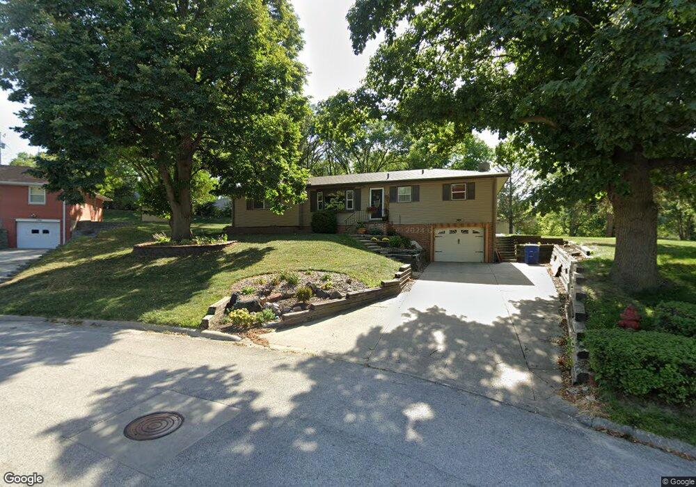
140 Chippewa Cir Gretna, NE 68028
Estimated Value: $321,000 - $421,661
5
Beds
5
Baths
3,200
Sq Ft
$115/Sq Ft
Est. Value
About This Home
This home is located at 140 Chippewa Cir, Gretna, NE 68028 and is currently estimated at $367,165, approximately $114 per square foot. 140 Chippewa Cir is a home located in Sarpy County with nearby schools including Gretna Elementary School, Gretna Middle School, and Gretna High School.
Ownership History
Date
Name
Owned For
Owner Type
Purchase Details
Closed on
Aug 15, 2001
Sold by
Schnack Robert A and Schnack Beverly K
Bought by
Fisher Idt Jay Anthony and Fisher Idt Susan
Current Estimated Value
Home Financials for this Owner
Home Financials are based on the most recent Mortgage that was taken out on this home.
Original Mortgage
$135,000
Interest Rate
7.07%
Create a Home Valuation Report for This Property
The Home Valuation Report is an in-depth analysis detailing your home's value as well as a comparison with similar homes in the area
Home Values in the Area
Average Home Value in this Area
Purchase History
| Date | Buyer | Sale Price | Title Company |
|---|---|---|---|
| Fisher Idt Jay Anthony | $145,000 | -- |
Source: Public Records
Mortgage History
| Date | Status | Borrower | Loan Amount |
|---|---|---|---|
| Closed | Fisher Idt Jay Anthony | $135,000 |
Source: Public Records
Tax History Compared to Growth
Tax History
| Year | Tax Paid | Tax Assessment Tax Assessment Total Assessment is a certain percentage of the fair market value that is determined by local assessors to be the total taxable value of land and additions on the property. | Land | Improvement |
|---|---|---|---|---|
| 2025 | $6,421 | $371,005 | $60,000 | $311,005 |
| 2024 | $6,697 | $356,615 | $60,000 | $296,615 |
| 2023 | $6,697 | $311,592 | $60,000 | $251,592 |
| 2022 | $6,598 | $289,119 | $60,000 | $229,119 |
| 2021 | $5,494 | $243,470 | $64,000 | $179,470 |
| 2020 | $5,350 | $238,484 | $49,000 | $189,484 |
| 2019 | $5,069 | $226,203 | $46,528 | $179,675 |
| 2018 | $4,585 | $205,552 | $29,440 | $176,112 |
| 2017 | $4,434 | $198,538 | $29,440 | $169,098 |
| 2016 | $4,061 | $182,324 | $29,440 | $152,884 |
| 2015 | $3,913 | $177,167 | $29,440 | $147,727 |
| 2014 | $3,780 | $172,610 | $29,440 | $143,170 |
| 2012 | -- | $166,372 | $29,440 | $136,932 |
Source: Public Records
Map
Nearby Homes
- 347 Michael Dr
- 213 Highland Dr
- 710 Pawnee Dr
- 11303 S 210th Ave
- Lot 127 W Gruenther Rd
- Lot 111 W Gruenther Rd
- TBD Lot 64 W Gruenther Rd
- 21733 Parkview Dr
- 21710 Parkview Dr
- 21603 Parkview Dr
- Lot 136 W Gruenther Rd
- Lot 80 W Gruenther Rd
- Lot 71 W Gruenther Rd
- 21605 Hackberry Dr
- 21906 Amber Dr
- 21702 Amber Dr
- 21726 Amber Dr
- 11647 Willow Park Dr
- 206 E Westplains Rd
- 20717 Frances St
- 136 Chippewa Cir
- 144 Chippewa Cir
- 110 Chippewa Cir
- 132 Chippewa Cir
- 96 Chippewa Cir
- 148 Chippewa Cir
- 128 Chippewa Cir
- 108 Chippewa Cir
- 439 W Westplains Rd
- 530 W Angus St
- 516 W Angus St
- 431 W Westplains Rd
- 124 Chippewa Cir
- 429 W Westplains Rd
- 114 Chippewa Cir
- 506 W Westplains Rd
- 425 W Westplains Rd
- 600 W Westplains Rd
- 540 W Angus St
- 421 W Westplains Rd