140 Community Dr Wakefield, RI 02879
Estimated Value: $1,105,910 - $1,218,000
2
Beds
3
Baths
1,879
Sq Ft
$613/Sq Ft
Est. Value
About This Home
This home is located at 140 Community Dr, Wakefield, RI 02879 and is currently estimated at $1,151,978, approximately $613 per square foot. 140 Community Dr is a home located in Washington County with nearby schools including South Kingstown High School.
Ownership History
Date
Name
Owned For
Owner Type
Purchase Details
Closed on
Sep 4, 2013
Sold by
Historic Pascoag Gramm
Bought by
Jensen Robert S and Jensen Denise R
Current Estimated Value
Home Financials for this Owner
Home Financials are based on the most recent Mortgage that was taken out on this home.
Original Mortgage
$216,750
Outstanding Balance
$161,938
Interest Rate
4.43%
Estimated Equity
$990,040
Create a Home Valuation Report for This Property
The Home Valuation Report is an in-depth analysis detailing your home's value as well as a comparison with similar homes in the area
Home Values in the Area
Average Home Value in this Area
Purchase History
| Date | Buyer | Sale Price | Title Company |
|---|---|---|---|
| Jensen Robert S | -- | -- |
Source: Public Records
Mortgage History
| Date | Status | Borrower | Loan Amount |
|---|---|---|---|
| Open | Jensen Robert S | $216,750 | |
| Previous Owner | Jensen Robert S | $30,000 | |
| Previous Owner | Jensen Robert S | $69,360 |
Source: Public Records
Tax History
| Year | Tax Paid | Tax Assessment Tax Assessment Total Assessment is a certain percentage of the fair market value that is determined by local assessors to be the total taxable value of land and additions on the property. | Land | Improvement |
|---|---|---|---|---|
| 2025 | $7,035 | $786,900 | $336,100 | $450,800 |
| 2024 | $7,707 | $697,500 | $282,000 | $415,500 |
| 2023 | $7,707 | $697,500 | $282,000 | $415,500 |
| 2022 | $7,638 | $697,500 | $282,000 | $415,500 |
| 2021 | $7,734 | $535,200 | $229,900 | $305,300 |
| 2020 | $7,734 | $535,200 | $229,900 | $305,300 |
| 2019 | $7,734 | $535,200 | $229,900 | $305,300 |
| 2018 | $6,780 | $432,400 | $183,900 | $248,500 |
| 2017 | $6,620 | $432,400 | $183,900 | $248,500 |
| 2016 | $6,525 | $432,400 | $183,900 | $248,500 |
| 2015 | $6,529 | $420,700 | $176,400 | $244,300 |
| 2014 | $6,512 | $420,700 | $176,400 | $244,300 |
Source: Public Records
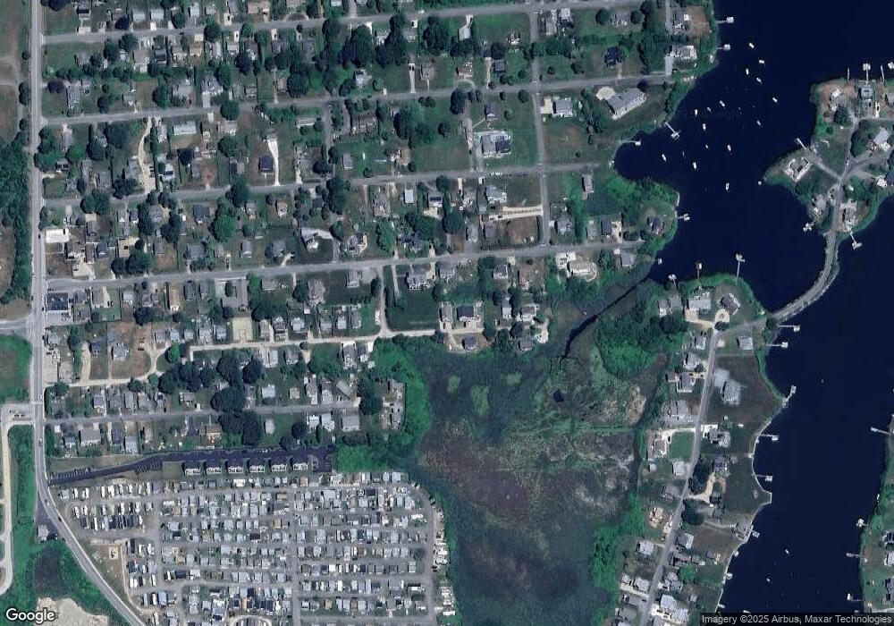
Map
Nearby Homes
- 836 Matunuck Beach Rd
- 210 Washington St
- 975 Matunuck Beach Rd
- 14 E Pointe Ct Unit 14
- 550 Cards Pond Rd
- 6 MacAlder St
- 1138 Succotash Rd
- 1140 Succotash Rd
- 1185 Succotash Rd
- 2321 Post Rd
- 7 Conch Rd
- 11 Wendy Ln
- 17 Goose Island Rd
- 2 Green Hill Ave
- 0 Barnacle Rd
- 209 Carpenter Dr
- 0 Hemlock Ave
- 37 Coast Guard Ave
- 29 Coast Guard Ave
- 480 Sand Plains Trail Unit D68
- 148 Community Dr
- 131 Atlantic Ave
- 149 Community Dr
- 121 Atlantic Ave
- 158 Community Dr
- 151 Atlantic Ave
- 164 Community Dr
- 112 Community Dr
- 120 Atlantic Ave
- 142 Atlantic Ave
- 116 Holden Rd
- 113 Community Dr
- 113 Community Dr Unit 1
- 150 Atlantic Ave
- 159 Atlantic Ave
- 165 Community Dr
- 103 Atlantic Ave
- 127 Park Ave
- 107 Community Dr
- 135 Park Ave
Your Personal Tour Guide
Ask me questions while you tour the home.