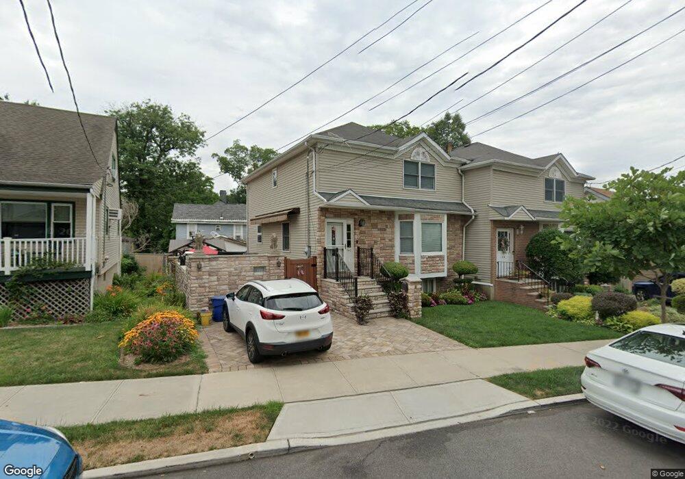
140 Fiske Ave Staten Island, NY 10314
Westerleigh NeighborhoodEstimated Value: $623,580 - $774,000
--
Bed
4
Baths
1,250
Sq Ft
$567/Sq Ft
Est. Value
About This Home
This home is located at 140 Fiske Ave, Staten Island, NY 10314 and is currently estimated at $708,895, approximately $567 per square foot. 140 Fiske Ave is a home located in Richmond County with nearby schools including P.S. 30 Westerleigh, I.S. 51 Edwin Markham, and Port Richmond High School.
Ownership History
Date
Name
Owned For
Owner Type
Purchase Details
Closed on
May 5, 1995
Sold by
Siller Brothers Construction Corp
Bought by
Roloph Robert E and Peterson Denise M
Current Estimated Value
Home Financials for this Owner
Home Financials are based on the most recent Mortgage that was taken out on this home.
Original Mortgage
$109,000
Interest Rate
8.34%
Create a Home Valuation Report for This Property
The Home Valuation Report is an in-depth analysis detailing your home's value as well as a comparison with similar homes in the area
Home Values in the Area
Average Home Value in this Area
Purchase History
| Date | Buyer | Sale Price | Title Company |
|---|---|---|---|
| Roloph Robert E | $193,000 | -- |
Source: Public Records
Mortgage History
| Date | Status | Borrower | Loan Amount |
|---|---|---|---|
| Closed | Roloph Robert E | $109,000 |
Source: Public Records
Tax History Compared to Growth
Tax History
| Year | Tax Paid | Tax Assessment Tax Assessment Total Assessment is a certain percentage of the fair market value that is determined by local assessors to be the total taxable value of land and additions on the property. | Land | Improvement |
|---|---|---|---|---|
| 2025 | $6,182 | $37,680 | $11,066 | $26,614 |
| 2024 | $6,182 | $30,780 | $14,098 | $16,682 |
| 2023 | $6,531 | $32,160 | $13,493 | $18,667 |
| 2022 | $6,444 | $32,280 | $12,780 | $19,500 |
| 2021 | $6,167 | $32,400 | $12,780 | $19,620 |
| 2020 | $6,053 | $30,540 | $12,780 | $17,760 |
| 2019 | $5,626 | $30,780 | $12,780 | $18,000 |
| 2018 | $5,471 | $28,296 | $12,054 | $16,242 |
| 2017 | $5,236 | $27,157 | $10,772 | $16,385 |
| 2016 | $4,812 | $25,620 | $12,780 | $12,840 |
| 2015 | $4,220 | $24,994 | $12,550 | $12,444 |
| 2014 | $4,220 | $23,580 | $14,220 | $9,360 |
Source: Public Records
Map
Nearby Homes
- 262 Maine Ave
- 0 Willard Ave
- 349 College Ave
- 751 Jewett Ave Unit 17
- 751 Jewett Ave
- 325 College Ave
- 159 North Ave
- 615 Jewett Ave
- 304 Kingsley Ave
- 14 Leonard Ave
- 36 Shaw Place
- 204 Demorest Ave
- 142 Margaretta Ct
- 116 Bidwell Ave
- 279 Saint John Ave
- 282 Willard Ave
- 78 Burnside Ave
- 249 Dickie Ave
- 307 Fiske Ave
- 307 Clinton B Fiske Ave
- 136 Fiske Ave
- 144 Fiske Ave
- 139 Willard Ave
- 135 Willard Ave
- 274 Maine Ave
- 148 Fiske Ave
- 11 Woodbridge Place
- 137 Clinton B Fiske Ave
- 147 Clinton B Fiske Ave
- 141 Fiske Ave
- 137 Fiske Ave
- 147 Fiske Ave
- 133 Clinton B Fiske Ave
- 133 Fiske Ave
- 122 Fiske Ave
- 151 Fiske Ave
- 123 Willard Ave
- 154 Fiske Ave
- 154 Clinton B Fisk Ave
- 153 Fiske Ave