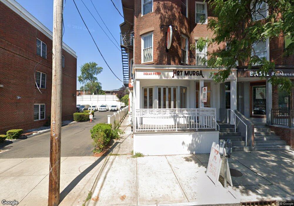
140 Howe St New Haven, CT 06511
Dwight NeighborhoodEstimated Value: $633,273
Studio
2
Baths
3,597
Sq Ft
$176/Sq Ft
Est. Value
About This Home
This home is located at 140 Howe St, New Haven, CT 06511 and is currently estimated at $633,273, approximately $176 per square foot. 140 Howe St is a home located in New Haven County with nearby schools including Augusta Lewis Troup School and Amistad Academy.
Ownership History
Date
Name
Owned For
Owner Type
Purchase Details
Closed on
Mar 31, 2017
Sold by
Lee Timothy M and Lam Dorothy L
Bought by
140 Howe Street Llc
Current Estimated Value
Home Financials for this Owner
Home Financials are based on the most recent Mortgage that was taken out on this home.
Original Mortgage
$200,000
Outstanding Balance
$166,156
Interest Rate
4.15%
Mortgage Type
Commercial
Estimated Equity
$467,117
Create a Home Valuation Report for This Property
The Home Valuation Report is an in-depth analysis detailing your home's value as well as a comparison with similar homes in the area
Home Values in the Area
Average Home Value in this Area
Purchase History
| Date | Buyer | Sale Price | Title Company |
|---|---|---|---|
| 140 Howe Street Llc | $335,000 | -- |
Source: Public Records
Mortgage History
| Date | Status | Borrower | Loan Amount |
|---|---|---|---|
| Open | 140 Howe Street Llc | $200,000 |
Source: Public Records
Tax History
| Year | Tax Paid | Tax Assessment Tax Assessment Total Assessment is a certain percentage of the fair market value that is determined by local assessors to be the total taxable value of land and additions on the property. | Land | Improvement |
|---|---|---|---|---|
| 2025 | $16,509 | $419,020 | $170,520 | $248,500 |
| 2024 | $16,132 | $419,020 | $170,520 | $248,500 |
| 2023 | $15,588 | $419,020 | $170,520 | $248,500 |
| 2022 | $16,656 | $419,020 | $170,520 | $248,500 |
| 2021 | $15,364 | $350,140 | $131,180 | $218,960 |
| 2020 | $15,014 | $342,160 | $131,180 | $210,980 |
| 2019 | $14,706 | $342,160 | $131,180 | $210,980 |
| 2018 | $14,706 | $342,160 | $131,180 | $210,980 |
| 2017 | $13,235 | $342,160 | $131,180 | $210,980 |
| 2016 | $8,942 | $215,208 | $116,550 | $98,658 |
| 2015 | $8,942 | $215,208 | $116,550 | $98,658 |
| 2014 | $8,942 | $215,208 | $116,550 | $98,658 |
Source: Public Records
Map
Nearby Homes
- 516 Elm St
- 80 Dickerman St
- 1361 Chapel St
- 100 York St Unit 12-E
- 100 York St Unit 3B
- 100 York St Unit 12K
- 100 York St Unit 5G
- 100 York St Unit 12J
- 607 Elm St
- 358 Orchard St
- 72 Mansfield St
- 80 Admiral St
- 666 Orchard St
- 635 Elm St
- 189 Sherman Ave Unit 17
- 143 County St
- 265 Dixwell Ave
- 38 Townsend St
- 269 Dixwell Ave
- 262 Sherman Ave
- 140 Howe St Unit 2nd Floor
- 154R Broadway
- 154R Broadway
- 135 Howe St
- 135 Howe St Unit C
- 135 Howe St Unit B
- 131 Howe St Unit B
- 131 Howe St Unit C
- 131 Howe St Unit A
- 131 Howe St
- 127 Howe St Unit B
- 129 Howe St Unit C
- 127 Howe St Unit D
- 127 Howe St Unit A
- 127 Howe St
- 129 Howe St Unit A
- 129 Howe St Unit A2
- 129 Howe St Unit B
- 127 Howe St Unit C
- 127 Howe St Unit 129 A
Your Personal Tour Guide
Ask me questions while you tour the home.