140 Laurel Way Winsted, CT 06098
Estimated Value: $440,498 - $561,000
4
Beds
3
Baths
2,111
Sq Ft
$231/Sq Ft
Est. Value
About This Home
This home is located at 140 Laurel Way, Winsted, CT 06098 and is currently estimated at $486,875, approximately $230 per square foot. 140 Laurel Way is a home located in Litchfield County with nearby schools including Explorations Charter School.
Ownership History
Date
Name
Owned For
Owner Type
Purchase Details
Closed on
Aug 9, 2012
Sold by
Maiolo Richard P and Maiolo Suzanne
Bought by
Maiolo Andrew S and Maiolo Craig M
Current Estimated Value
Purchase Details
Closed on
Jun 1, 1984
Bought by
Maiolo Andrew S and Maiolo Craig M
Create a Home Valuation Report for This Property
The Home Valuation Report is an in-depth analysis detailing your home's value as well as a comparison with similar homes in the area
Home Values in the Area
Average Home Value in this Area
Purchase History
| Date | Buyer | Sale Price | Title Company |
|---|---|---|---|
| Maiolo Andrew S | -- | -- | |
| Maiolo Andrew S | -- | -- | |
| Maiolo Andrew S | -- | -- |
Source: Public Records
Mortgage History
| Date | Status | Borrower | Loan Amount |
|---|---|---|---|
| Previous Owner | Maiolo Andrew S | $79,000 |
Source: Public Records
Tax History Compared to Growth
Tax History
| Year | Tax Paid | Tax Assessment Tax Assessment Total Assessment is a certain percentage of the fair market value that is determined by local assessors to be the total taxable value of land and additions on the property. | Land | Improvement |
|---|---|---|---|---|
| 2025 | $6,898 | $236,460 | $49,420 | $187,040 |
| 2024 | $6,441 | $236,460 | $49,420 | $187,040 |
| 2023 | $6,240 | $236,460 | $49,420 | $187,040 |
| 2022 | $5,560 | $165,760 | $35,840 | $129,920 |
| 2021 | $5,560 | $165,760 | $35,840 | $129,920 |
| 2020 | $5,560 | $165,760 | $35,840 | $129,920 |
| 2019 | $5,560 | $165,760 | $35,840 | $129,920 |
| 2018 | $5,560 | $165,760 | $35,840 | $129,920 |
| 2017 | $5,501 | $164,010 | $35,840 | $128,170 |
| 2016 | $5,501 | $164,010 | $35,840 | $128,170 |
| 2015 | $5,363 | $164,010 | $35,840 | $128,170 |
| 2014 | $5,234 | $164,010 | $35,840 | $128,170 |
Source: Public Records
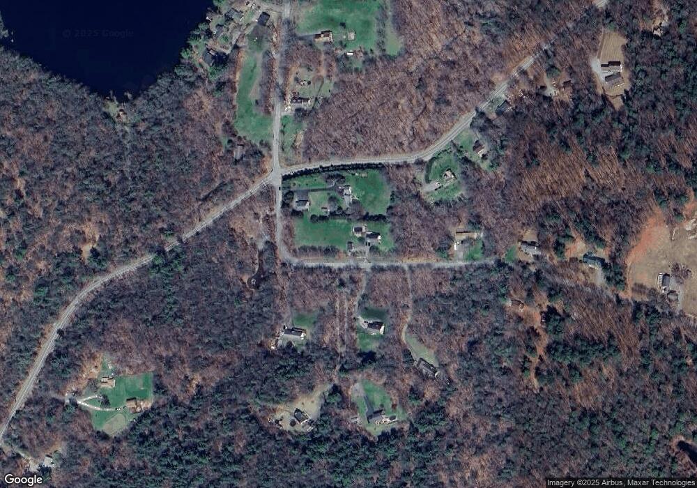
Map
Nearby Homes
- 393 Winchester Rd
- 00 Chapel Rd
- 440 Platt Hill Rd
- 117 South Rd
- 431 W Wakefield Blvd
- 469 Platt Hill Rd
- 119 W Wakefield Blvd
- 843-845 (lots - 10A, E Wakefield Blvd
- 605 E Wakefield Blvd
- 156 Lincoln Ave
- 000000 Norfolk Rd
- 841 Winchester Rd
- 105,107 E Mountain Rd
- 722 Lake Dr
- 107 Peck Rd
- 148 Danbury Quarter Rd
- 819 E Wakefield Blvd
- 32 Norfolk Rd
- 77 Hubbard St
- 99 Hubbard St
- 142 Laurel Way
- 129 Laurel Way
- 126 Laurel Way
- 135 Laurel Way
- 141 Laurel Way
- 120 Laurel Way
- 123 Laurel Way
- 138 Laurel Way
- 133 Laurel Way
- 425 Winchester Rd
- 109 Woods Ln
- 0 Winchester Rd Unit L133528
- 0 Winchester Rd Unit G667085
- 100 Rugg Brook Rd
- 0 Rugg Brook Road and Winchester Rd
- 0 Rugg Brook and Rt 263
- 0 Rugg Brook Rd Unit L145368
- 0 Rugg Brook Rd
- 00 Rugg Brook Rd
- 423 Winchester Rd