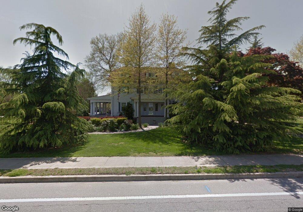
140 Main St Preston, MD 21655
Estimated Value: $507,000 - $610,688
Studio
4
Baths
3,936
Sq Ft
$139/Sq Ft
Est. Value
About This Home
This home is located at 140 Main St, Preston, MD 21655 and is currently estimated at $545,922, approximately $138 per square foot. 140 Main St is a home located in Caroline County with nearby schools including Preston Elementary School, Colonel Richardson Middle School, and Colonel Richardson High School.
Ownership History
Date
Name
Owned For
Owner Type
Purchase Details
Closed on
Oct 22, 2002
Sold by
Nelson Richard
Bought by
Nelson Richard
Current Estimated Value
Purchase Details
Closed on
May 31, 2002
Sold by
Maust Christopher Gregory
Bought by
Nelson Richard and Brunst Mary E
Purchase Details
Closed on
Mar 26, 1999
Sold by
Osborne Richard W
Bought by
Maust Christopher Gregory and Maust Gemma May
Purchase Details
Closed on
Oct 5, 1995
Sold by
Stark Joellen Shilan
Bought by
Osborne Richard W and Smith Osborne Alexa
Create a Home Valuation Report for This Property
The Home Valuation Report is an in-depth analysis detailing your home's value as well as a comparison with similar homes in the area
Home Values in the Area
Average Home Value in this Area
Purchase History
| Date | Buyer | Sale Price | Title Company |
|---|---|---|---|
| Nelson Richard | $36,173 | -- | |
| Nelson Richard | $285,000 | -- | |
| Maust Christopher Gregory | $188,000 | -- | |
| Osborne Richard W | $173,500 | -- |
Source: Public Records
Mortgage History
| Date | Status | Borrower | Loan Amount |
|---|---|---|---|
| Closed | Nelson Richard | -- |
Source: Public Records
Tax History
| Year | Tax Paid | Tax Assessment Tax Assessment Total Assessment is a certain percentage of the fair market value that is determined by local assessors to be the total taxable value of land and additions on the property. | Land | Improvement |
|---|---|---|---|---|
| 2025 | $5,594 | $483,833 | $0 | $0 |
| 2024 | $5,594 | $435,867 | $0 | $0 |
| 2023 | $5,594 | $387,900 | $72,400 | $315,500 |
| 2022 | $5,460 | $385,567 | $0 | $0 |
| 2020 | $969 | $380,900 | $82,400 | $298,500 |
| 2019 | $5,285 | $373,433 | $0 | $0 |
| 2018 | $5,098 | $365,967 | $0 | $0 |
| 2017 | $5,098 | $358,500 | $0 | $0 |
| 2016 | -- | $357,767 | $0 | $0 |
| 2015 | -- | $357,033 | $0 | $0 |
| 2014 | $5,322 | $356,300 | $0 | $0 |
Source: Public Records
Map
Nearby Homes
- 162 Main St
- 103 Chamber St
- 212 Main St
- 126 Maple Ave
- 282 Tidewater Cir
- 4218 Harmony Rd
- 22403 Marsh Creek Rd
- 3675 Seaman Rd
- 4215 Preston Rd
- 0 Nelpine Rd
- 23547 Jonestown Ln
- 4305 Langrell Rd
- 24111 Friendship Rd
- 4326 Gavins Run
- lot 6 Harmony Woods Dr
- 0 Wrights Rest Rd Unit MDDO2009790
- 6706 Jayar Way
- 21682 Dover Bridge Rd
- 5585 Harmony Woods Dr
- 3844 Wrights Wharf Rd
- 136 Main St
- 105 Sunset Blvd
- 107 Sunset Blvd
- 109 Sunset Blvd
- 112 Sunset Blvd
- 134 Main St
- 137 Main St
- 111 Sunset Blvd
- 132 Main St
- 0 Lednum Ave Unit 1007849430
- 0 Lednum Ave Unit 1007255348
- 0 Lednum Ave Unit 1007197280
- 0 Lednum Ave Unit 1006988984
- 0 Lednum Ave Unit 1006869296
- 0 Lednum Ave Unit CM10044052
- 0 Lednum Ave Unit CM7694778
- 0 Lednum Ave Unit CM8061243
- 0 Lednum Ave Unit CM8550268
- 0 Lednum Ave Unit CM9501759
- 0 Lednum Ave Unit CM9779714
Your Personal Tour Guide
Ask me questions while you tour the home.