140 Morgan Dr Manning, SC 29102
Estimated Value: $195,000 - $246,000
Studio
--
Bath
1,468
Sq Ft
$150/Sq Ft
Est. Value
About This Home
This home is located at 140 Morgan Dr, Manning, SC 29102 and is currently estimated at $219,518, approximately $149 per square foot. 140 Morgan Dr is a home with nearby schools including Phoenix Charter High School and Laurence Manning Academy.
Ownership History
Date
Name
Owned For
Owner Type
Purchase Details
Closed on
Jun 25, 2019
Sold by
Rob Morris Construction
Bought by
Wilson Jacklen D
Current Estimated Value
Home Financials for this Owner
Home Financials are based on the most recent Mortgage that was taken out on this home.
Original Mortgage
$130,500
Outstanding Balance
$113,782
Interest Rate
4.1%
Mortgage Type
Purchase Money Mortgage
Estimated Equity
$105,736
Purchase Details
Closed on
Jul 12, 2018
Sold by
B & R Properties Of Manning
Bought by
Rob Morris Construction
Home Financials for this Owner
Home Financials are based on the most recent Mortgage that was taken out on this home.
Original Mortgage
$18,000
Interest Rate
4.6%
Mortgage Type
Unknown
Create a Home Valuation Report for This Property
The Home Valuation Report is an in-depth analysis detailing your home's value as well as a comparison with similar homes in the area
Home Values in the Area
Average Home Value in this Area
Purchase History
| Date | Buyer | Sale Price | Title Company |
|---|---|---|---|
| Wilson Jacklen D | $130,000 | -- | |
| Rob Morris Construction | $18,000 | -- |
Source: Public Records
Mortgage History
| Date | Status | Borrower | Loan Amount |
|---|---|---|---|
| Open | Wilson Jacklen D | $130,500 | |
| Previous Owner | Rob Morris Construction | $18,000 |
Source: Public Records
Tax History
| Year | Tax Paid | Tax Assessment Tax Assessment Total Assessment is a certain percentage of the fair market value that is determined by local assessors to be the total taxable value of land and additions on the property. | Land | Improvement |
|---|---|---|---|---|
| 2025 | $1,778 | $5,848 | $720 | $5,128 |
| 2024 | $1,778 | $5,848 | $720 | $5,128 |
| 2023 | $1,704 | $5,848 | $720 | $5,128 |
| 2022 | $1,687 | $5,848 | $720 | $5,128 |
| 2021 | $1,507 | $5,112 | $720 | $4,392 |
| 2020 | $1,507 | $5,112 | $720 | $4,392 |
| 2019 | $3,242 | $5,112 | $720 | $4,392 |
| 2018 | $489 | $1,080 | $0 | $0 |
| 2017 | $483 | $1,080 | $0 | $0 |
| 2016 | $152 | $338 | $0 | $0 |
| 2015 | $458 | $1,080 | $1,080 | $0 |
| 2014 | $144 | $338 | $338 | $0 |
| 2013 | -- | $338 | $338 | $0 |
Source: Public Records
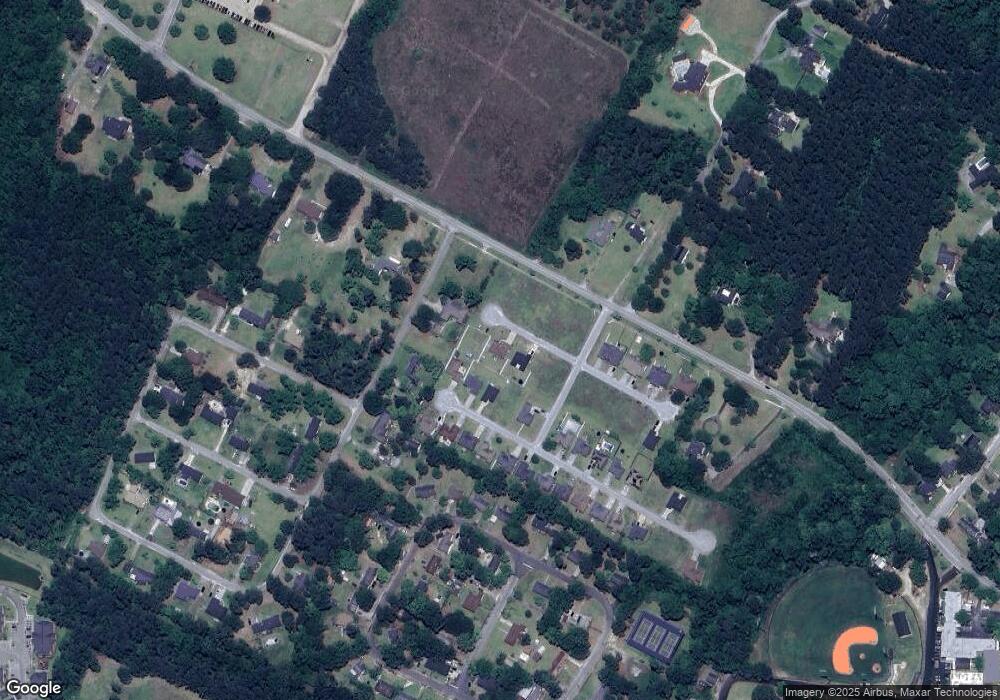
Map
Nearby Homes
- 406 Thames St
- 423 Thames St
- 416 Thames St
- 107 Sumter St
- 101 Sumter St
- 227 N Church St
- 200 W Boyce St
- 1000 Carolina Way
- 5301 Cypress Pointe #D301
- 250 Dyson St
- 225 Reardon St
- 401 W Huggins St
- 387 Drayton St
- 202 E Huggins St
- 408 Toccoa Dr
- TBD W Huggins St
- TBD Barnwell St
- 138 Nelson Cir
- 2695 Paxville Hwy
- 633 Sykes St
- 132 Morgan Dr
- 249 Andrew Dr
- 245 Andrew Dr
- 253 Andrew Dr
- 380 Old Georgetown Rd Unit 1.32
- 237 Andrews Dr
- 83 Manchester Dr
- 254 Andrews Dr
- 250 Andrews Dr
- 233 Andrews Dr
- 121 Morgan Dr
- 258 Andrew Dr
- 246 Andrew Dr
- 242 Andrews Dr
- 212 Andrews Dr
- 238 Andrews Dr
- 119 Morgan Dr
- 115 Morgan Dr
- 234 Andrew Dr
- 229 Andrew Dr
Your Personal Tour Guide
Ask me questions while you tour the home.