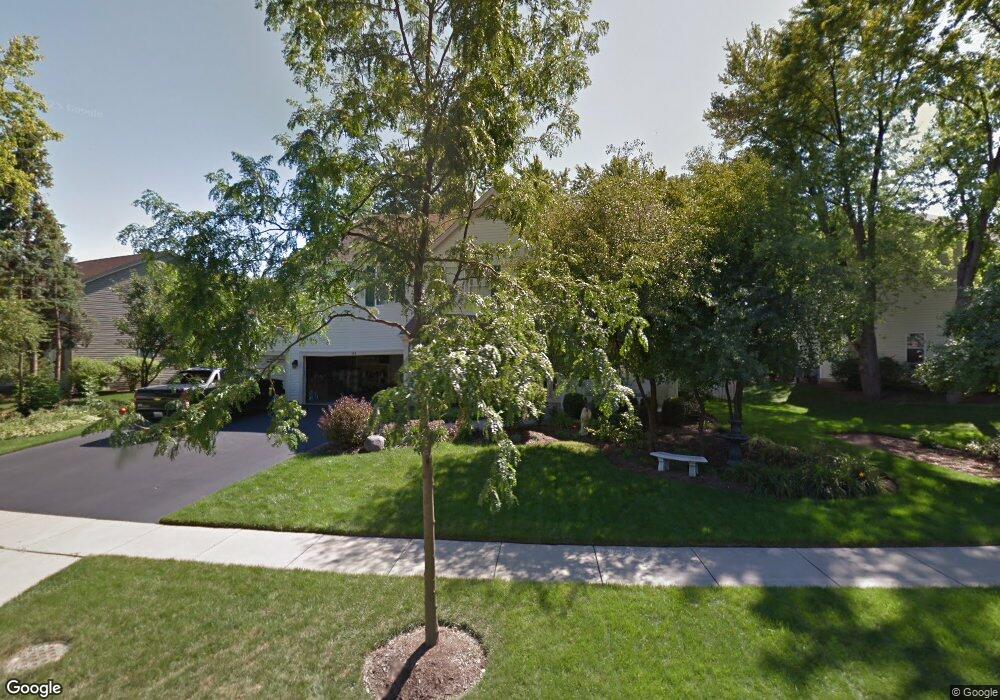
140 S Oakleaf Rd Algonquin, IL 60102
Estimated Value: $458,612 - $568,000
4
Beds
3
Baths
3,190
Sq Ft
$160/Sq Ft
Est. Value
About This Home
This home is located at 140 S Oakleaf Rd, Algonquin, IL 60102 and is currently estimated at $509,653, approximately $159 per square foot. 140 S Oakleaf Rd is a home located in McHenry County with nearby schools including Westfield Community School, Lincoln Prairie Elementary School, and Harry D Jacobs High School.
Ownership History
Date
Name
Owned For
Owner Type
Purchase Details
Closed on
Jul 31, 2000
Sold by
Forrester David B
Bought by
Corless Virgil and Corless Terri
Current Estimated Value
Home Financials for this Owner
Home Financials are based on the most recent Mortgage that was taken out on this home.
Original Mortgage
$200,000
Interest Rate
8.15%
Purchase Details
Closed on
May 13, 1998
Sold by
Kennedy Group Ltd Partnership
Bought by
Forrester David B
Home Financials for this Owner
Home Financials are based on the most recent Mortgage that was taken out on this home.
Original Mortgage
$224,000
Interest Rate
7.27%
Create a Home Valuation Report for This Property
The Home Valuation Report is an in-depth analysis detailing your home's value as well as a comparison with similar homes in the area
Purchase History
| Date | Buyer | Sale Price | Title Company |
|---|---|---|---|
| Corless Virgil | $312,000 | M & M Title | |
| Forrester David B | $284,500 | -- |
Source: Public Records
Mortgage History
| Date | Status | Borrower | Loan Amount |
|---|---|---|---|
| Closed | Corless Virgil | $200,000 | |
| Previous Owner | Forrester David B | $224,000 |
Source: Public Records
Tax History
| Year | Tax Paid | Tax Assessment Tax Assessment Total Assessment is a certain percentage of the fair market value that is determined by local assessors to be the total taxable value of land and additions on the property. | Land | Improvement |
|---|---|---|---|---|
| 2024 | $10,064 | $144,655 | $27,307 | $117,348 |
| 2023 | $9,491 | $129,376 | $24,423 | $104,953 |
| 2022 | $10,354 | $131,739 | $27,440 | $104,299 |
| 2021 | $9,914 | $122,731 | $25,564 | $97,167 |
| 2020 | $9,642 | $118,386 | $24,659 | $93,727 |
| 2019 | $9,395 | $113,310 | $23,602 | $89,708 |
| 2018 | $9,566 | $111,356 | $23,195 | $88,161 |
| 2017 | $9,351 | $104,904 | $21,851 | $83,053 |
| 2016 | $9,190 | $98,390 | $20,494 | $77,896 |
| 2013 | -- | $83,650 | $19,119 | $64,531 |
Source: Public Records
Map
Nearby Homes
- 145 S Oakleaf Rd
- 7 Falcon Ridge Ct
- 14 Wander Way
- 135 Arquilla Dr
- 113 Pheasant Trail
- 1920 Jester Ln
- 101 Oakleaf Rd
- 1431 Essex St
- 681 Majestic Dr
- 1354 Essex St Unit 2
- LOT 3 Blackhawk Dr
- 700 Fairfield Ln
- 2380 Dawson Ln Unit 165
- 13 Brian Ct
- 760 Regal Ln
- 1820 Crofton Dr
- 521 Pawnee Dr
- 338 Hiawatha Dr
- 909 Roger St
- 298 Apache Trail
- 130 S Oakleaf Rd Unit 4
- 150 S Oakleaf Rd
- 7 Portsmith Ct
- 5 Portsmith Ct
- 120 S Oakleaf Rd
- 160 S Oakleaf Rd
- 135 S Oakleaf Rd
- 125 S Oakleaf Rd Unit 4
- 115 S Oakleaf Rd
- 10 Portsmith Ct
- 175 S Oakleaf Rd
- 110 S Oakleaf Rd
- 170 S Oakleaf Rd
- 3 Portsmith Ct
- 105 S Oakleaf Rd
- 165 S Oakleaf Rd
- 185 S Oakleaf Rd
- 8 Portsmith Ct
- 155 S Oakleaf Rd
- 155 Salford Dr
Your Personal Tour Guide
Ask me questions while you tour the home.