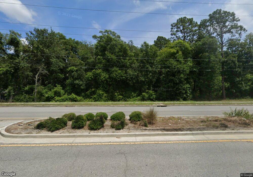
140 Sams Point Rd Beaufort, SC 29907
Estimated Value: $118,000 - $397,000
--
Bed
--
Bath
--
Sq Ft
1.74
Acres
About This Home
This home is located at 140 Sams Point Rd, Beaufort, SC 29907 and is currently estimated at $249,000. 140 Sams Point Rd is a home located in Beaufort County with nearby schools including Lady's Island Elementary School, Lady's Island Middle School, and Beaufort High School.
Ownership History
Date
Name
Owned For
Owner Type
Purchase Details
Closed on
Apr 5, 2018
Sold by
Reiselt Ronnie
Bought by
140 Sms Point Road Llc
Current Estimated Value
Purchase Details
Closed on
Jun 29, 2011
Sold by
Regions Bank
Bought by
Reiselt Ronnie
Purchase Details
Closed on
Nov 18, 2010
Sold by
Banks & King Llc
Bought by
Regions Bank
Purchase Details
Closed on
May 23, 2006
Sold by
Hollis C O and Melton Lena Nell H
Bought by
Southcoast Ltd Llc
Home Financials for this Owner
Home Financials are based on the most recent Mortgage that was taken out on this home.
Original Mortgage
$303,750
Interest Rate
6.49%
Mortgage Type
Construction
Create a Home Valuation Report for This Property
The Home Valuation Report is an in-depth analysis detailing your home's value as well as a comparison with similar homes in the area
Home Values in the Area
Average Home Value in this Area
Purchase History
| Date | Buyer | Sale Price | Title Company |
|---|---|---|---|
| 140 Sms Point Road Llc | -- | None Available | |
| Reiselt Ronnie | $45,000 | -- | |
| Regions Bank | $101,050 | -- | |
| Southcoast Ltd Llc | $215,000 | None Available |
Source: Public Records
Mortgage History
| Date | Status | Borrower | Loan Amount |
|---|---|---|---|
| Previous Owner | Southcoast Ltd Llc | $303,750 |
Source: Public Records
Tax History Compared to Growth
Tax History
| Year | Tax Paid | Tax Assessment Tax Assessment Total Assessment is a certain percentage of the fair market value that is determined by local assessors to be the total taxable value of land and additions on the property. | Land | Improvement |
|---|---|---|---|---|
| 2024 | $831 | $2,810 | $0 | $0 |
| 2023 | $831 | $2,810 | $0 | $0 |
| 2022 | $699 | $2,440 | $0 | $0 |
| 2021 | $649 | $2,440 | $0 | $0 |
| 2020 | $655 | $2,440 | $0 | $0 |
| 2019 | $647 | $2,440 | $0 | $0 |
| 2018 | $609 | $2,440 | $0 | $0 |
| 2017 | $642 | $2,480 | $0 | $0 |
| 2016 | $629 | $2,480 | $0 | $0 |
| 2014 | $509 | $2,480 | $0 | $0 |
Source: Public Records
Map
Nearby Homes
- 3635 Oyster Bluff Dr
- 3674 Oyster Bluff Dr
- 4245 Sage Dr
- 3665 Oyster Bluff Dr
- 4215 Sage Dr
- 3754 Oyster Bluff Dr
- 4100 Sage Dr
- 31 Shorts Landing Rd
- 28 Sweet Olive Dr
- 14 Celadon Pond Dr
- 16 Jade St Unit A
- 30 Sweet Olive Dr
- 122 Patina Dr
- 40 Celadon Dr
- 6 Tug Boat Ln
- 2 Tug Boat Ln
- 4 Tug Boat Ln
- 11 Basin Trail St
- 102 Patina Dr
- 7 Celadon Dr
- 144 Sams Point Rd
- 132 Sams Point Rd
- 154 Sams Point Rd
- 152 Sams Point Rd
- 124 Sams Point Rd
- 130 Sams Point Rd
- 1 Oyster Factory Rd
- 3624 Oyster Bluff Dr
- 7 Shorts Landing Rd
- 9 Shorts Landing Rd
- 3634 Oyster Bluff Dr
- 160 Sams Point Rd
- 13 Shorts Landing Rd
- 3552 Pearl Tabby Dr
- 11 Shorts Landing Rd
- 3644 Oyster Bluff Dr
- 121 Sams Point Rd
- 7 Oyster Factory Rd
- 3562 Pearl Tabby Dr
- 3654 Oyster Bluff Dr
