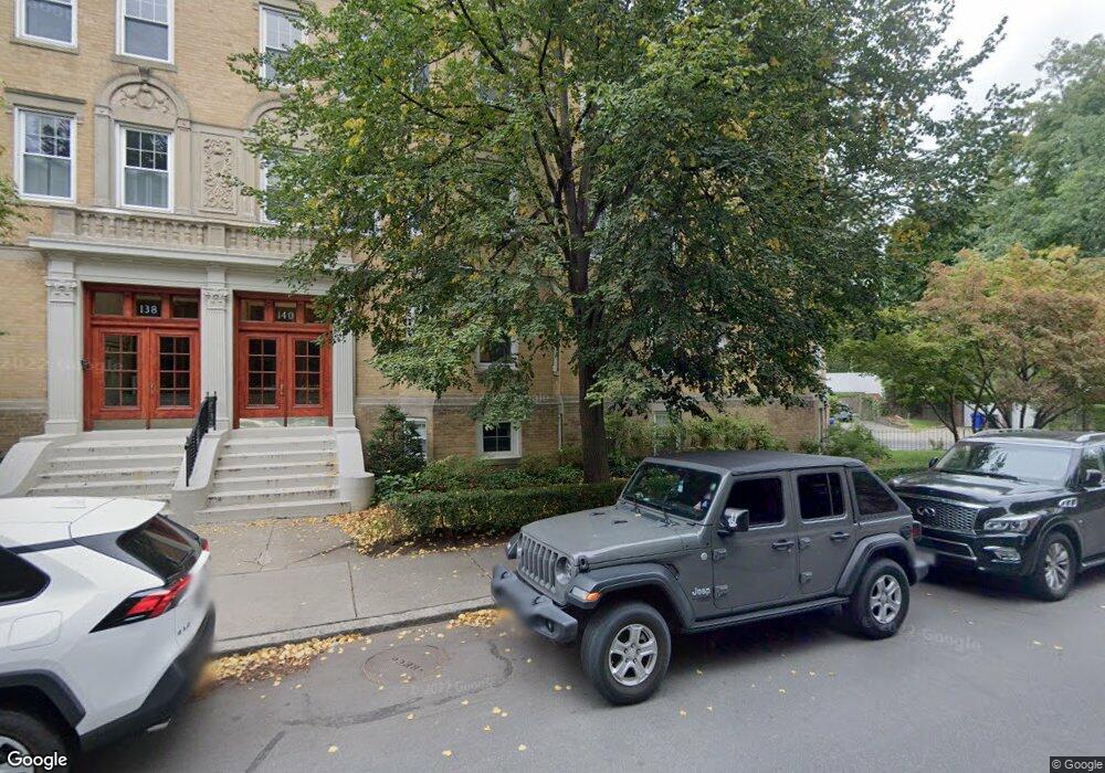
140 Sewall Ave Unit B Brookline, MA 02446
Coolidge Corner NeighborhoodEstimated Value: $1,725,000 - $2,097,000
3
Beds
2
Baths
2,304
Sq Ft
$834/Sq Ft
Est. Value
About This Home
This home is located at 140 Sewall Ave Unit B, Brookline, MA 02446 and is currently estimated at $1,922,128, approximately $834 per square foot. 140 Sewall Ave Unit B is a home located in Norfolk County with nearby schools including Amos A. Lawrence School, St. Mary of the Assumption Elementary School, and Winsor School.
Ownership History
Date
Name
Owned For
Owner Type
Purchase Details
Closed on
Jul 8, 1997
Sold by
Murchison Robert and Murchison Alison H
Bought by
Blackman Ronald K
Current Estimated Value
Purchase Details
Closed on
Jul 1, 1992
Sold by
Decola Vera
Bought by
Murchison Robert and Murchison Alison H
Create a Home Valuation Report for This Property
The Home Valuation Report is an in-depth analysis detailing your home's value as well as a comparison with similar homes in the area
Home Values in the Area
Average Home Value in this Area
Purchase History
| Date | Buyer | Sale Price | Title Company |
|---|---|---|---|
| Blackman Ronald K | $439,000 | -- | |
| Murchison Robert | $300,000 | -- |
Source: Public Records
Mortgage History
| Date | Status | Borrower | Loan Amount |
|---|---|---|---|
| Open | Murchison Robert | $320,000 | |
| Closed | Murchison Robert | $343,000 | |
| Closed | Murchison Robert | $358,000 | |
| Closed | Murchison Robert | $272,000 |
Source: Public Records
Tax History Compared to Growth
Tax History
| Year | Tax Paid | Tax Assessment Tax Assessment Total Assessment is a certain percentage of the fair market value that is determined by local assessors to be the total taxable value of land and additions on the property. | Land | Improvement |
|---|---|---|---|---|
| 2025 | $16,176 | $1,638,900 | $0 | $1,638,900 |
| 2024 | $15,698 | $1,606,800 | $0 | $1,606,800 |
| 2023 | $15,183 | $1,522,900 | $0 | $1,522,900 |
| 2022 | $15,215 | $1,493,100 | $0 | $1,493,100 |
| 2021 | $14,487 | $1,478,300 | $0 | $1,478,300 |
| 2020 | $13,833 | $1,463,800 | $0 | $1,463,800 |
| 2019 | $13,062 | $1,394,000 | $0 | $1,394,000 |
| 2018 | $12,556 | $1,327,300 | $0 | $1,327,300 |
| 2017 | $12,143 | $1,229,000 | $0 | $1,229,000 |
| 2016 | $11,051 | $1,060,600 | $0 | $1,060,600 |
| 2015 | $10,298 | $964,200 | $0 | $964,200 |
| 2014 | $9,934 | $872,200 | $0 | $872,200 |
Source: Public Records
Map
Nearby Homes
- 151 Longwood Ave Unit 1
- 60 Longwood Ave Unit 802
- 60 Longwood Ave Unit 307
- 60 Longwood Ave Unit 403
- 50 Longwood Ave Unit 611
- 45 Longwood Ave Unit 812
- 45 Longwood Ave Unit PHA
- 98 Saint Paul St Unit A1
- 15 James St Unit 2
- 17 James St Unit 1
- 65 Francis St Unit 65
- 65 Francis St
- 20 Chapel St Unit APH4
- 20 Chapel St Unit B712
- 20 Chapel St Unit B811
- 18 Browne St Unit 2
- 30 Stearns Rd Unit 302
- 79 Pleasant St Unit 4
- 63 Green St Unit 3
- 63 Green St Unit 2
- 140 Sewall Ave Unit C
- 140 Sewall Ave Unit A
- 38 Marshal St Unit 1
- 138 Sewall Ave Unit C
- 138 Sewall Ave Unit B
- 138 Sewall Ave Unit A
- 138 Sewall Ave Unit 3
- 134 Sewall Ave Unit C
- 134 Sewall Ave Unit B
- 134 Sewall Ave Unit A
- 134 Sewall Ave Unit 2
- 45 Marshal St
- 39 Marshal St
- 137 Sewall Ave
- 137 Sewall Ave Unit 1
- 137 Sewall Ave Unit 4
- 137 Sewall Ave Unit 3
- 137 Sewall Ave Unit 2
- 137 Sewall Ave Unit 2,137
- 137 Sewall Ave Unit 4,137