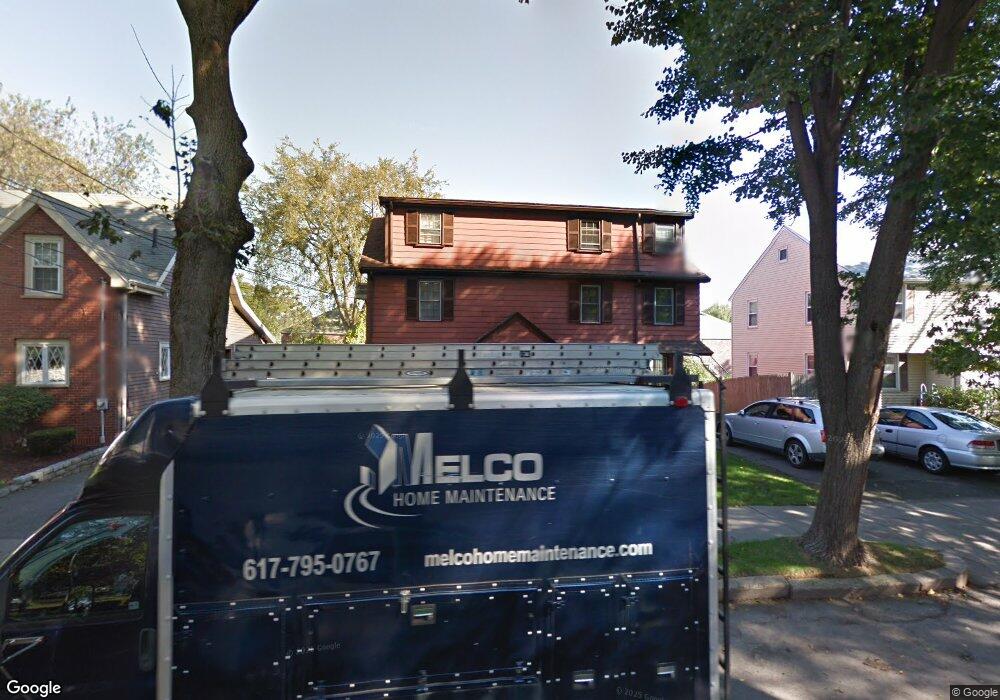
140 Washington Ave Unit 142 West Newton, MA 02465
West Newton NeighborhoodEstimated Value: $994,308 - $1,576,000
4
Beds
3
Baths
2,953
Sq Ft
$387/Sq Ft
Est. Value
About This Home
This home is located at 140 Washington Ave Unit 142, West Newton, MA 02465 and is currently estimated at $1,144,077, approximately $387 per square foot. 140 Washington Ave Unit 142 is a home located in Middlesex County with nearby schools including Franklin Elementary School, F.A. Day Middle School, and Newton North High School.
Ownership History
Date
Name
Owned For
Owner Type
Purchase Details
Closed on
Nov 1, 1971
Bought by
Melanson Paul J and Melanson Carol A
Current Estimated Value
Create a Home Valuation Report for This Property
The Home Valuation Report is an in-depth analysis detailing your home's value as well as a comparison with similar homes in the area
Home Values in the Area
Average Home Value in this Area
Purchase History
| Date | Buyer | Sale Price | Title Company |
|---|---|---|---|
| Melanson Paul J | $31,900 | -- |
Source: Public Records
Mortgage History
| Date | Status | Borrower | Loan Amount |
|---|---|---|---|
| Open | Melanson Paul J | $150,000 |
Source: Public Records
Tax History Compared to Growth
Tax History
| Year | Tax Paid | Tax Assessment Tax Assessment Total Assessment is a certain percentage of the fair market value that is determined by local assessors to be the total taxable value of land and additions on the property. | Land | Improvement |
|---|---|---|---|---|
| 2025 | $7,272 | $740,500 | $342,500 | $398,000 |
| 2024 | $6,755 | $700,700 | $342,500 | $358,200 |
| 2023 | $6,784 | $657,400 | $312,000 | $345,400 |
| 2022 | $6,856 | $615,400 | $284,800 | $330,600 |
| 2021 | $6,484 | $572,800 | $257,700 | $315,100 |
| 2020 | $6,430 | $538,100 | $244,200 | $293,900 |
| 2019 | $6,092 | $481,200 | $241,700 | $239,500 |
| 2018 | $5,508 | $436,800 | $223,800 | $213,000 |
| 2017 | $5,231 | $416,500 | $203,500 | $213,000 |
| 2016 | $4,807 | $392,700 | $179,700 | $213,000 |
| 2015 | $4,628 | $352,500 | $176,300 | $176,200 |
Source: Public Records
Map
Nearby Homes
- 24 Tolman St Unit A
- 25 Tolman St Unit 2
- 138 Myrtle St Unit 2
- 162 Myrtle St Unit 1
- 75 Cherry St
- 31-37 Washington Ave
- 81 Alder St
- 312 Newton St Unit 1A
- 308 Newton St Unit 1
- 47 Alder St Unit 6
- 40 Myrtle St Unit 9
- 42 Alder St
- 39 Clinton St Unit 2
- 39 Clinton St Unit 1
- 76 Taft Ave Unit 1
- 76 Taft Ave
- 76 Taft Ave Unit 2
- 659 Moody St Unit 2
- 15 Alder St Unit 1
- 56 Dearborn St
- 140 Washington Ave
- 140 Washington Ave Unit 142
- 144 Washington Ave Unit 146
- 144 Washington Ave Unit 1
- 150 Washington Ave Unit 152
- 154 Washington Ave Unit 156
- 144-146 Washington Ave Unit 144
- 149 Washington Ave
- 155 Washington Ave
- 145 Washington Ave
- 131 Parmenter Rd
- 133 Parmenter Rd
- 133 Parmenter Rd Unit 133
- 133 Parmenter Rd Unit 1
- 129 Parmenter Rd
- 85 Fuller St Unit 87
- 81 Fuller St Unit 3
- 81 Fuller St Unit 4
- 24 Noble St
- 141 Parmenter Rd