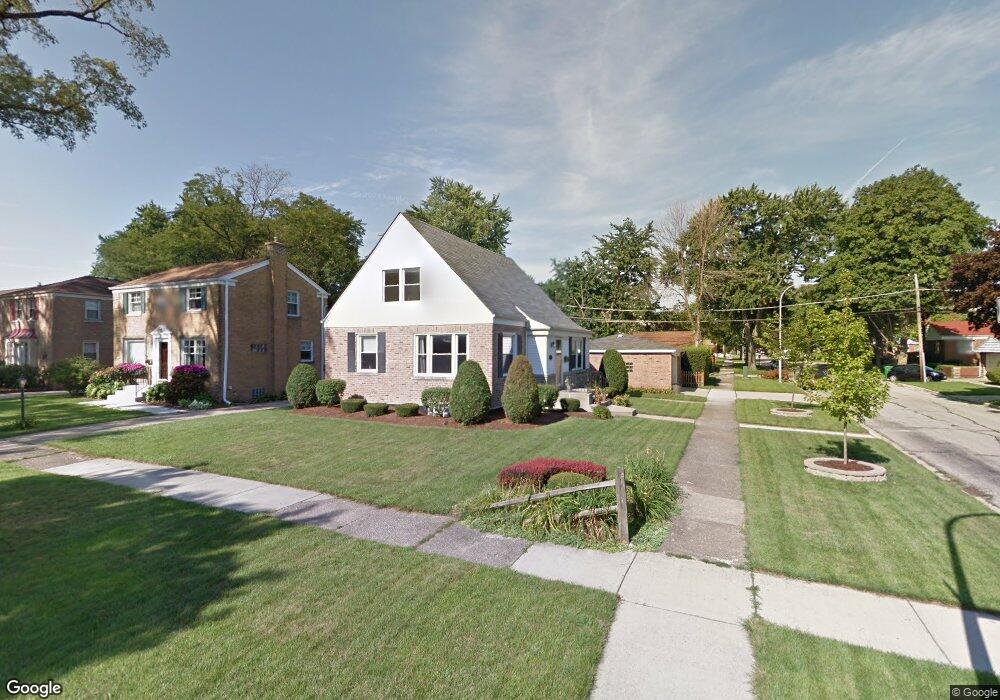
1400 Bristol Ave Westchester, IL 60154
Estimated Value: $349,817 - $384,000
3
Beds
2
Baths
1,434
Sq Ft
$254/Sq Ft
Est. Value
About This Home
This home is located at 1400 Bristol Ave, Westchester, IL 60154 and is currently estimated at $364,204, approximately $253 per square foot. 1400 Bristol Ave is a home located in Cook County with nearby schools including Westchester Primary School, Westchester Intermediate School, and Westchester Middle School.
Ownership History
Date
Name
Owned For
Owner Type
Purchase Details
Closed on
Aug 7, 2025
Sold by
Chiostri Robert J
Bought by
Robert J Chiostri Living Trust and Chiostri
Current Estimated Value
Purchase Details
Closed on
Apr 5, 1999
Sold by
Bradley Anne M
Bought by
Chiostri Robert J
Home Financials for this Owner
Home Financials are based on the most recent Mortgage that was taken out on this home.
Original Mortgage
$137,600
Interest Rate
6.94%
Purchase Details
Closed on
Sep 15, 1993
Sold by
Friedrich Andrew P and Friedrich Eileen M
Bought by
Bradley Anne M and Chiostri Robert J
Home Financials for this Owner
Home Financials are based on the most recent Mortgage that was taken out on this home.
Original Mortgage
$90,000
Interest Rate
7%
Create a Home Valuation Report for This Property
The Home Valuation Report is an in-depth analysis detailing your home's value as well as a comparison with similar homes in the area
Home Values in the Area
Average Home Value in this Area
Purchase History
| Date | Buyer | Sale Price | Title Company |
|---|---|---|---|
| Robert J Chiostri Living Trust | -- | None Listed On Document | |
| Chiostri Robert J | -- | -- | |
| Bradley Anne M | $92,666 | -- |
Source: Public Records
Mortgage History
| Date | Status | Borrower | Loan Amount |
|---|---|---|---|
| Previous Owner | Chiostri Robert J | $137,600 | |
| Previous Owner | Bradley Anne M | $90,000 |
Source: Public Records
Tax History Compared to Growth
Tax History
| Year | Tax Paid | Tax Assessment Tax Assessment Total Assessment is a certain percentage of the fair market value that is determined by local assessors to be the total taxable value of land and additions on the property. | Land | Improvement |
|---|---|---|---|---|
| 2024 | $5,611 | $24,694 | $4,690 | $20,004 |
| 2023 | $5,205 | $24,694 | $4,690 | $20,004 |
| 2022 | $5,205 | $20,481 | $4,020 | $16,461 |
| 2021 | $5,065 | $20,481 | $4,020 | $16,461 |
| 2020 | $5,014 | $20,481 | $4,020 | $16,461 |
| 2019 | $4,638 | $19,846 | $3,685 | $16,161 |
| 2018 | $5,067 | $21,610 | $3,685 | $17,925 |
| 2017 | $4,986 | $21,610 | $3,685 | $17,925 |
| 2016 | $4,158 | $16,756 | $3,350 | $13,406 |
| 2015 | $4,069 | $16,756 | $3,350 | $13,406 |
| 2014 | $3,990 | $16,756 | $3,350 | $13,406 |
| 2013 | $4,085 | $18,878 | $3,350 | $15,528 |
Source: Public Records
Map
Nearby Homes
- 1433 Bristol Ave
- 1500 Bristol Ave
- 1601 Bristol Ave
- 1623 Manchester Ave
- 10072 Drury Ln
- 1119 Newcastle Ave
- 923 Manchester Ave
- 920 Suffolk Ave
- 1840 Gardner Rd
- 2320 S 22nd Ave
- 814 Norfolk Ave
- 805 Norfolk Ave
- 1016 Hull Ave
- 2237 S 22nd Ave
- 1900 Manchester Ave
- 750 Bristol Ave
- 1907 Suffolk Ave
- 2003 S 24th Ave
- 626 Manchester Ave
- 1247 S Mannheim Rd Unit 3
- 1406 Bristol Ave
- 1412 Bristol Ave
- 1401 Manchester Ave
- 9840 Dickens St
- 1407 Manchester Ave
- 1416 Bristol Ave
- 1413 Manchester Ave
- 1359 Manchester Ave
- 1401 Bristol Ave
- 1422 Bristol Ave
- 1417 Manchester Ave
- 1351 Manchester Ave
- 1413 Bristol Ave
- 9831 Drury Ln
- 9837 Drury Ln
- 1423 Manchester Ave
- 1417 Bristol Ave
- 1426 Bristol Ave
- 9841 Drury Ln
- 1347 Manchester Ave