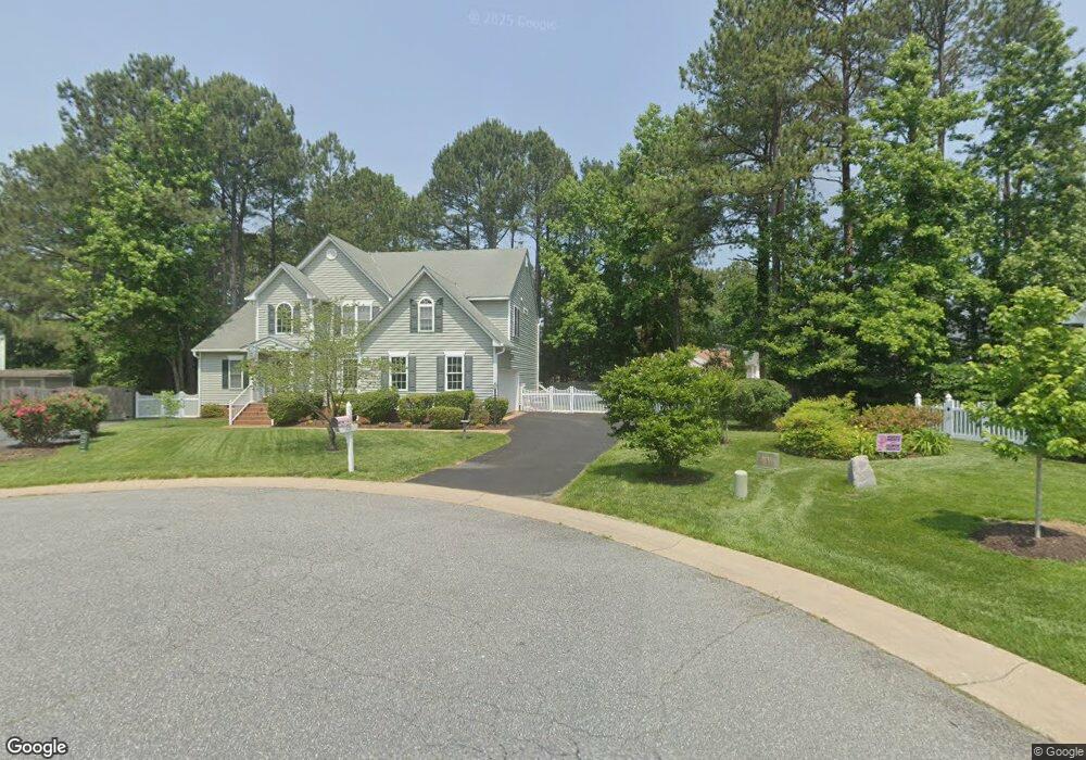
1400 Nevis Ct Midlothian, VA 23114
Estimated Value: $458,000 - $565,000
3
Beds
2
Baths
1,640
Sq Ft
$321/Sq Ft
Est. Value
About This Home
This home is located at 1400 Nevis Ct, Midlothian, VA 23114 and is currently estimated at $526,554, approximately $321 per square foot. 1400 Nevis Ct is a home located in Chesterfield County with nearby schools including W W Gordon Elementary School, Midlothian Middle School, and Monacan High School.
Ownership History
Date
Name
Owned For
Owner Type
Purchase Details
Closed on
Mar 19, 2002
Sold by
Main Street Homes
Bought by
Tyler Catlin E and Tyler Jean M
Current Estimated Value
Home Financials for this Owner
Home Financials are based on the most recent Mortgage that was taken out on this home.
Original Mortgage
$222,050
Outstanding Balance
$92,625
Interest Rate
7.04%
Mortgage Type
New Conventional
Estimated Equity
$433,929
Create a Home Valuation Report for This Property
The Home Valuation Report is an in-depth analysis detailing your home's value as well as a comparison with similar homes in the area
Home Values in the Area
Average Home Value in this Area
Purchase History
| Date | Buyer | Sale Price | Title Company |
|---|---|---|---|
| Tyler Catlin E | $246,872 | -- |
Source: Public Records
Mortgage History
| Date | Status | Borrower | Loan Amount |
|---|---|---|---|
| Open | Tyler Catlin E | $222,050 |
Source: Public Records
Tax History Compared to Growth
Tax History
| Year | Tax Paid | Tax Assessment Tax Assessment Total Assessment is a certain percentage of the fair market value that is determined by local assessors to be the total taxable value of land and additions on the property. | Land | Improvement |
|---|---|---|---|---|
| 2025 | $4,707 | $526,100 | $72,000 | $454,100 |
| 2024 | $4,707 | $490,100 | $67,000 | $423,100 |
| 2023 | $4,243 | $466,300 | $65,000 | $401,300 |
| 2022 | $3,814 | $414,600 | $62,000 | $352,600 |
| 2021 | $3,545 | $366,200 | $60,000 | $306,200 |
| 2020 | $3,479 | $366,200 | $60,000 | $306,200 |
| 2019 | $3,343 | $351,900 | $60,000 | $291,900 |
| 2018 | $3,239 | $340,900 | $60,000 | $280,900 |
| 2017 | $3,040 | $316,700 | $60,000 | $256,700 |
| 2016 | $2,973 | $309,700 | $60,000 | $249,700 |
| 2015 | $2,854 | $294,700 | $60,000 | $234,700 |
| 2014 | $2,842 | $293,400 | $60,000 | $233,400 |
Source: Public Records
Map
Nearby Homes
- 11933 Exbury Terrace
- 11907 Exbury Ct
- 11960 Lucks Ln
- 11950 Lucks Ln
- 11970 Lucks Ln
- 11625 Nevis Dr
- 1009 Woodlet Meadow Ln
- 1418 Crawford Wood Place
- 1606 Bantry Loop
- 1712 Porters Mill Ln
- 1526 Crawford Wood Dr
- 1937 Bantry Dr
- 914 Spirea Rd
- 1002 Wedgemont Place
- 12325 Logan Trace Rd
- 11301 Mansfield Crossing Ct
- 1407 Sycamore Ridge Ct
- 11630 Smoketree Dr
- 11520 Old Carrollton Ct
- 11312 McCauliff Ct
- 11825 Duxbury Place
- 1406 Nevis Ct
- 1407 Nevis Ct
- 11831 Duxbury Place
- 11831 Exbury Terrace
- 11819 Duxbury Place
- 1413 Nevis Ct
- 1412 Nevis Ct
- 1407 Exbury Dr
- 11837 Exbury Terrace
- 11830 Duxbury Place
- 11812 Nevis Dr
- 11813 Duxbury Place
- 11906 Nevis Dr
- 1331 Exbury Dr
- 11824 Duxbury Place
- 11818 Duxbury Place
- 1411 Exbury Dr
- 11806 Nevis Dr
- 11819 Nevis Dr