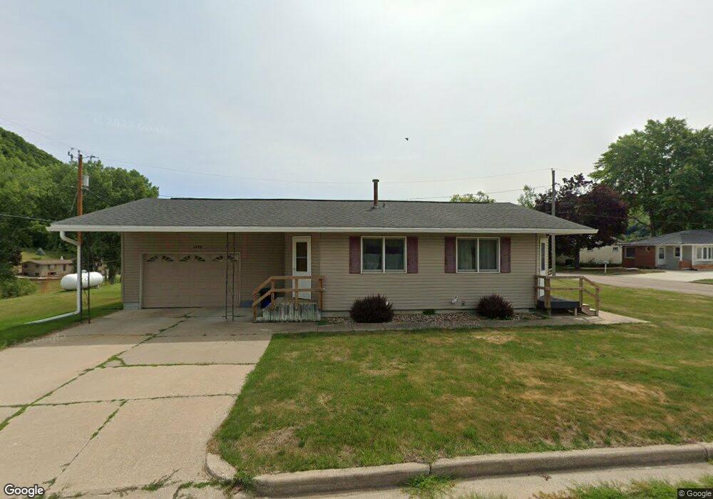
1400 Westgate Dr Lansing, IA 52151
Estimated Value: $164,000 - $176,521
3
Beds
2
Baths
1,024
Sq Ft
$166/Sq Ft
Est. Value
About This Home
This home is located at 1400 Westgate Dr, Lansing, IA 52151 and is currently estimated at $170,130, approximately $166 per square foot. 1400 Westgate Dr is a home located in Allamakee County with nearby schools including New Albin Elementary School, Lansing Middle School, and Kee High School.
Ownership History
Date
Name
Owned For
Owner Type
Purchase Details
Closed on
Sep 16, 2024
Sold by
Spinner Thomas V
Bought by
Kious Kirk A
Current Estimated Value
Home Financials for this Owner
Home Financials are based on the most recent Mortgage that was taken out on this home.
Original Mortgage
$100,000
Outstanding Balance
$92,647
Interest Rate
6.47%
Mortgage Type
Credit Line Revolving
Estimated Equity
$77,483
Create a Home Valuation Report for This Property
The Home Valuation Report is an in-depth analysis detailing your home's value as well as a comparison with similar homes in the area
Home Values in the Area
Average Home Value in this Area
Purchase History
| Date | Buyer | Sale Price | Title Company |
|---|---|---|---|
| Kious Kirk A | $159,500 | None Listed On Document |
Source: Public Records
Mortgage History
| Date | Status | Borrower | Loan Amount |
|---|---|---|---|
| Open | Kious Kirk A | $100,000 |
Source: Public Records
Tax History Compared to Growth
Tax History
| Year | Tax Paid | Tax Assessment Tax Assessment Total Assessment is a certain percentage of the fair market value that is determined by local assessors to be the total taxable value of land and additions on the property. | Land | Improvement |
|---|---|---|---|---|
| 2025 | $2,232 | $172,200 | $29,400 | $142,800 |
| 2024 | $2,232 | $151,100 | $17,200 | $133,900 |
| 2023 | $2,382 | $151,100 | $17,200 | $133,900 |
| 2022 | $2,012 | $107,400 | $17,200 | $90,200 |
| 2021 | $2,190 | $107,400 | $17,200 | $90,200 |
| 2020 | $2,190 | $109,700 | $17,200 | $92,500 |
| 2019 | $1,952 | $96,700 | $0 | $0 |
| 2018 | $1,914 | $96,700 | $0 | $0 |
| 2017 | $1,914 | $88,400 | $0 | $0 |
| 2016 | $1,628 | $88,400 | $0 | $0 |
| 2015 | $1,628 | $88,400 | $0 | $0 |
| 2014 | $1,498 | $87,000 | $0 | $0 |
Source: Public Records
Map
Nearby Homes
- 370 Knolls St
- 73 Shaw St
- 1930 Hideaway Hills Ln Unit 29
- 371 Diagonal St
- 320 Diagonal St
- 1381 N 2nd St
- 100 N 2nd St Unit A
- 197 Main St
- 2183 Waterview Ln
- 1906 Blue Heron Ln
- 1892 Great River Rd
- 1886 Great River Rd
- 1862 Village Creek Dr
- 2279 Bosco Bluff Ln
- 11215 Midway Ct
- 65567 Grand View Dr
- Lot 6 Grand View Dr
- 11345 Grand View Dr
- 3 Park Ct Unit Lot 3
- 0 Desoto Bluffs Dr Unit 1936123
- 1430 Westgate Dr
- 1507 Main St
- 1440 Westgate Dr
- 1421 Westgate Dr
- 1431 Westgate Dr
- 1441 Westgate Dr
- 1511 Westgate Dr
- 1460 Westgate Dr
- 1471 Westgate Dr
- 1506 Main St
- 1417 Main St
- 1518 Main St
- 1519 Main St
- 1481 Westgate Dr
- 1411 Westgate Dr
- 1520 Main St
- 0 Main St
- 1470 Westgate Dr
- 1480 Westgate Dr
- 1411 Main St