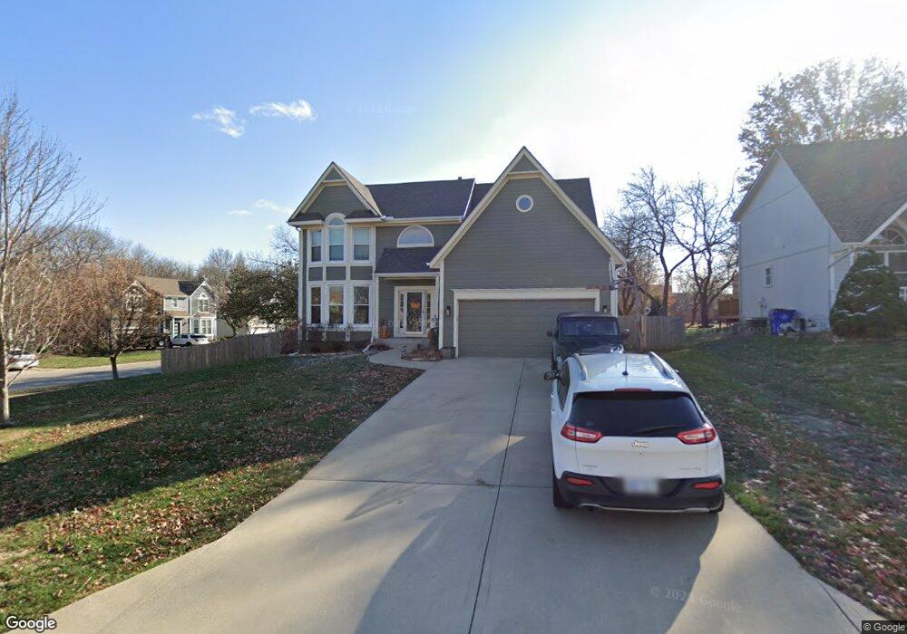
14005 W 127th Terrace Olathe, KS 66062
Estimated Value: $439,879 - $504,000
4
Beds
3
Baths
2,221
Sq Ft
$216/Sq Ft
Est. Value
About This Home
This home is located at 14005 W 127th Terrace, Olathe, KS 66062 and is currently estimated at $478,970, approximately $215 per square foot. 14005 W 127th Terrace is a home located in Johnson County with nearby schools including Regency Place Elementary School, California Trail Middle School, and Olathe East Sr High School.
Ownership History
Date
Name
Owned For
Owner Type
Purchase Details
Closed on
Aug 19, 2002
Sold by
Smith Darren J and Smith Andrea L
Bought by
Mccullagh Rebecca S
Current Estimated Value
Home Financials for this Owner
Home Financials are based on the most recent Mortgage that was taken out on this home.
Original Mortgage
$157,600
Outstanding Balance
$66,354
Interest Rate
6.48%
Estimated Equity
$412,616
Purchase Details
Closed on
Mar 15, 2001
Sold by
Ewert Kurt H and Ewert Allison M
Bought by
Smith Darren J and Smith Andrea L
Home Financials for this Owner
Home Financials are based on the most recent Mortgage that was taken out on this home.
Original Mortgage
$175,750
Interest Rate
6.95%
Create a Home Valuation Report for This Property
The Home Valuation Report is an in-depth analysis detailing your home's value as well as a comparison with similar homes in the area
Home Values in the Area
Average Home Value in this Area
Purchase History
| Date | Buyer | Sale Price | Title Company |
|---|---|---|---|
| Mccullagh Rebecca S | -- | Old Republic Title Company | |
| Smith Darren J | -- | Security Land Title Company |
Source: Public Records
Mortgage History
| Date | Status | Borrower | Loan Amount |
|---|---|---|---|
| Open | Mccullagh Rebecca S | $157,600 | |
| Previous Owner | Smith Darren J | $175,750 |
Source: Public Records
Tax History Compared to Growth
Tax History
| Year | Tax Paid | Tax Assessment Tax Assessment Total Assessment is a certain percentage of the fair market value that is determined by local assessors to be the total taxable value of land and additions on the property. | Land | Improvement |
|---|---|---|---|---|
| 2024 | $6,123 | $46,253 | $8,915 | $37,338 |
| 2023 | $6,200 | $43,459 | $8,109 | $35,350 |
| 2022 | $4,409 | $37,409 | $7,370 | $30,039 |
| 2021 | $4,657 | $34,408 | $7,370 | $27,038 |
| 2020 | $3,948 | $31,660 | $6,699 | $24,961 |
| 2019 | $3,751 | $29,889 | $6,699 | $23,190 |
| 2018 | $3,720 | $29,429 | $5,825 | $23,604 |
| 2017 | $4,539 | $27,232 | $5,289 | $21,943 |
| 2016 | $3,236 | $26,013 | $5,289 | $20,724 |
| 2015 | $3,002 | $24,173 | $5,289 | $18,884 |
| 2013 | -- | $23,587 | $5,289 | $18,298 |
Source: Public Records
Map
Nearby Homes
- 12715 S Rene St
- 13641 W 129th St
- 12890 S Greenwood St
- 13406 W 126th Place
- 13604 W 129th Terrace
- 13611 W 129th Terrace
- 12416 S Albervan St
- 12461 S Mullen Cir
- 12464 S Mullen Cir
- 13404 W 130th St
- 12500 S Shannan Cir
- 12997 S Alden St
- 13028 S Constance St
- 13030 S Constance St
- 13014 S Constance St
- 13007 W 123rd Terrace
- 12979 S Constance St
- 13005 S Constance St
- 12704 W 124th St
- 13012 S Constance St
- 14015 W 127th Terrace
- 12744 S Gallery St
- 14025 W 127th Terrace
- 12733 S Gallery St
- 12754 S Gallery St
- 12723 S Gallery St
- 12743 S Gallery St
- 14002 W 127th Terrace
- 12753 S Gallery St
- 14010 W 127th Terrace
- 14035 W 127th Terrace
- 12771 S Hallet St
- 12767 S Hallet St
- 12764 S Gallery St
- 12703 S Gallery St
- 14022 W 127th Terrace
- 12763 S Gallery St
- 12765 S Hallet St
- 14045 W 127th Terrace
- 12773 S Gallery St