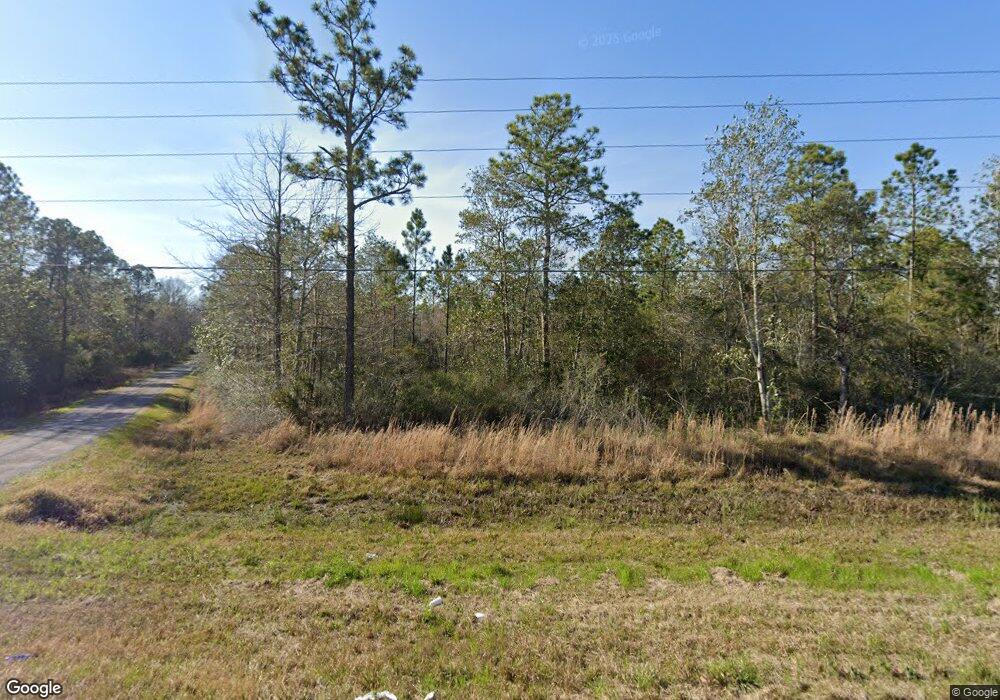
14009 Highway 613 Moss Point, MS 39562
Estimated Value: $163,000 - $237,699
Studio
--
Bath
1,080
Sq Ft
$193/Sq Ft
Est. Value
About This Home
This home is located at 14009 Highway 613, Moss Point, MS 39562 and is currently estimated at $208,425, approximately $192 per square foot. 14009 Highway 613 is a home with nearby schools including East Central Lower Elementary School, East Central Upper Elementary School, and East Central Middle School.
Ownership History
Date
Name
Owned For
Owner Type
Purchase Details
Closed on
Feb 13, 2025
Sold by
Vice Amber L and Dickinson Amber
Bought by
Dickinson Amber and Dickinson Dallas C
Current Estimated Value
Home Financials for this Owner
Home Financials are based on the most recent Mortgage that was taken out on this home.
Original Mortgage
$143,000
Outstanding Balance
$139,865
Interest Rate
6.93%
Mortgage Type
New Conventional
Estimated Equity
$68,560
Purchase Details
Closed on
May 11, 2016
Sold by
Mckelvain Ashley Nicole
Bought by
Vice Amber L
Home Financials for this Owner
Home Financials are based on the most recent Mortgage that was taken out on this home.
Original Mortgage
$43,000
Interest Rate
3.58%
Mortgage Type
New Conventional
Create a Home Valuation Report for This Property
The Home Valuation Report is an in-depth analysis detailing your home's value as well as a comparison with similar homes in the area
Purchase History
| Date | Buyer | Sale Price | Title Company |
|---|---|---|---|
| Dickinson Amber | -- | Island Winds Title | |
| Dickinson Amber | -- | Island Winds Title | |
| Vice Amber L | -- | Island Winds Title Co Llc |
Source: Public Records
Mortgage History
| Date | Status | Borrower | Loan Amount |
|---|---|---|---|
| Open | Dickinson Amber | $143,000 | |
| Closed | Dickinson Amber | $143,000 | |
| Previous Owner | Vice Amber L | $43,000 |
Source: Public Records
Tax History
| Year | Tax Paid | Tax Assessment Tax Assessment Total Assessment is a certain percentage of the fair market value that is determined by local assessors to be the total taxable value of land and additions on the property. | Land | Improvement |
|---|---|---|---|---|
| 2025 | $1,303 | $13,493 | $3,119 | $10,374 |
| 2024 | $1,303 | $12,874 | $3,036 | $9,838 |
| 2023 | $1,245 | $12,874 | $3,036 | $9,838 |
| 2022 | $1,202 | $12,874 | $3,036 | $9,838 |
| 2021 | $1,210 | $12,954 | $3,036 | $9,918 |
| 2020 | $1,168 | $12,153 | $2,760 | $9,393 |
| 2019 | $1,152 | $12,153 | $2,760 | $9,393 |
| 2018 | $1,180 | $12,153 | $2,760 | $9,393 |
| 2017 | $1,206 | $12,153 | $2,760 | $9,393 |
| 2016 | $2,169 | $18,230 | $4,140 | $14,090 |
| 2015 | $2,047 | $114,080 | $27,600 | $86,480 |
| 2014 | $1,083 | $11,771 | $2,760 | $9,011 |
| 2013 | $2,005 | $17,657 | $4,140 | $13,517 |
Source: Public Records
Map
Nearby Homes
- 0 Perry St
- 13600 Reservoir Rd E
- 0 Ms-613 Hwy Unit 4116583
- 0 Ms-613 Hwy Unit 4107607
- 0 Ms-613 Hwy Unit 4107612
- 0 Ms-613 Hwy Unit 4116582
- 13111 Maida Hurd Rd
- 14004 Timber Ridge Dr
- 14004 Ann Rd
- 14015 Lily Orchard Rd
- 13875 Wolf Ridge Rd Unit LotWP001
- 13875 Wolf Ridge Rd
- 4432 Lily Patch Ln
- 0 Lily Orchard Rd
- 14208 Lily Orchard Rd
- 0 Grafe Homestead Rd Unit 4137349
- 0 R B Dickerson Rd
- 6400 Hans Rd
- 3601 Sandy Bayou Rd
- 26.1 Acres Brinkman Rd E
- 14005 Highway 613 Unit DRO
- 13912 Highway 613
- 13901 Highway 613
- 13832 Highway 613
- 13733 Highway 613
- 13809 Highway 613
- 13805 Highway 613
- 13737 Highway 613
- 14000 Big Bend Rd
- 13900 Big Bend Rd
- 14023 Big Bend Rd
- 14023 Big Bend Rd
- 14108 Highway 613
- 13800 Saracennia Rd
- 14109 Highway 613
- 14011 Big Bend Rd
- 13808 Big Bend Rd
- 14112 Highway 613
- 13804 Big Bend Rd
- 13801 Big Bend Rd
Your Personal Tour Guide
Ask me questions while you tour the home.