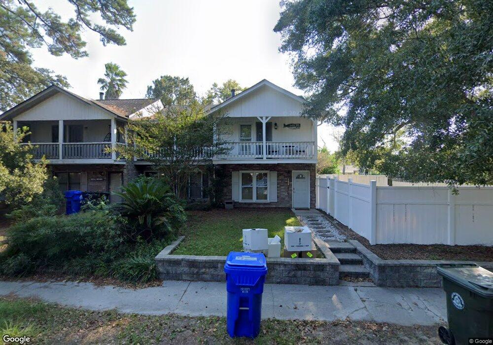
1401 Camp Rd Unit A Charleston, SC 29412
James Island NeighborhoodEstimated Value: $303,000 - $390,000
2
Beds
2
Baths
1,400
Sq Ft
$249/Sq Ft
Est. Value
About This Home
This home is located at 1401 Camp Rd Unit A, Charleston, SC 29412 and is currently estimated at $349,253, approximately $249 per square foot. 1401 Camp Rd Unit A is a home located in Charleston County with nearby schools including James Island Elementary School, Camp Road Middle, and James Island Charter High School.
Ownership History
Date
Name
Owned For
Owner Type
Purchase Details
Closed on
May 18, 2020
Sold by
Lowe Stephen R
Bought by
Underwood Christopher P and Underwood Katelyn
Current Estimated Value
Home Financials for this Owner
Home Financials are based on the most recent Mortgage that was taken out on this home.
Original Mortgage
$216,000
Outstanding Balance
$191,406
Interest Rate
3.3%
Mortgage Type
New Conventional
Estimated Equity
$157,847
Purchase Details
Closed on
Apr 13, 2018
Sold by
Majors Patricia L
Bought by
Lowe Stephen R
Home Financials for this Owner
Home Financials are based on the most recent Mortgage that was taken out on this home.
Original Mortgage
$223,150
Interest Rate
4%
Mortgage Type
Adjustable Rate Mortgage/ARM
Create a Home Valuation Report for This Property
The Home Valuation Report is an in-depth analysis detailing your home's value as well as a comparison with similar homes in the area
Home Values in the Area
Average Home Value in this Area
Purchase History
| Date | Buyer | Sale Price | Title Company |
|---|---|---|---|
| Underwood Christopher P | $240,000 | None Available | |
| Lowe Stephen R | $225,000 | None Available |
Source: Public Records
Mortgage History
| Date | Status | Borrower | Loan Amount |
|---|---|---|---|
| Open | Underwood Christopher P | $216,000 | |
| Previous Owner | Lowe Stephen R | $223,150 |
Source: Public Records
Tax History Compared to Growth
Tax History
| Year | Tax Paid | Tax Assessment Tax Assessment Total Assessment is a certain percentage of the fair market value that is determined by local assessors to be the total taxable value of land and additions on the property. | Land | Improvement |
|---|---|---|---|---|
| 2024 | $1,335 | $9,600 | $0 | $0 |
| 2023 | $1,335 | $9,600 | $0 | $0 |
| 2022 | $1,224 | $9,600 | $0 | $0 |
| 2021 | $1,281 | $9,600 | $0 | $0 |
| 2020 | $1,250 | $9,000 | $0 | $0 |
| 2019 | $1,270 | $9,000 | $0 | $0 |
| 2017 | $516 | $5,330 | $0 | $0 |
| 2016 | $498 | $5,330 | $0 | $0 |
| 2015 | $512 | $5,330 | $0 | $0 |
| 2014 | $475 | $0 | $0 | $0 |
| 2011 | -- | $0 | $0 | $0 |
Source: Public Records
Map
Nearby Homes
- 1418 Kentwood Cir
- 1402 Camp Rd Unit 5E
- 1402 Camp Rd Unit 6E
- 1402 Camp Rd Unit 1H
- 1402 Camp Rd Unit 8B
- 1402 Camp Rd Unit 9C
- 1402 Camp Rd Unit 12F
- 1453 Camp Rd
- 1014 Arborwood Dr
- 1 S Anderson Ave
- 1359 White House Blvd
- 17 S Anderson Ave Unit A,B,C, D
- 27 Brockman Dr Unit 27B
- 27 Brockman Dr Unit 27C
- 1336 Briarfield Ave
- 1335 Camp Rd
- 1 Maplecrest Dr
- 1107 Secessionville Rd
- 14 Maplecrest Dr
- 1030 Pauline Ave
- 1401 Camp Rd
- 1401 Camp Rd
- 1401 Camp Rd
- 1401 Camp Rd
- 1401 Camp Rd Unit D
- 1401 Camp Rd Unit C
- 1010 Renwood Dr
- 1014 Renwood Dr
- 1399 Camp Rd
- 1399 Camp Rd
- 1399 Camp Rd
- 1399 Camp Rd
- 1399 Camp Rd Unit B
- 1399 Camp Rd Unit A
- 1399 Camp Rd Unit D
- 1399 Camp Rd Unit C
- 1412 Kentwood Cir
- 1411 Camp Rd Unit A
- 850 Sedge Ct
- 1406 Kentwood Cir