1401 Millertown Rd Auburn, CA 95603
Estimated Value: $851,656 - $1,401,000
4
Beds
2
Baths
2,706
Sq Ft
$382/Sq Ft
Est. Value
About This Home
This home is located at 1401 Millertown Rd, Auburn, CA 95603 and is currently estimated at $1,033,664, approximately $381 per square foot. 1401 Millertown Rd is a home located in Placer County with nearby schools including Auburn Elementary School, Placer High School, and Alta Vista Community Charter.
Ownership History
Date
Name
Owned For
Owner Type
Purchase Details
Closed on
Oct 4, 2022
Sold by
Carter Daniel E and Carter Hillary C
Bought by
Daniel E Carter And Hillary C Goodwin 2022 Tr
Current Estimated Value
Purchase Details
Closed on
May 8, 1997
Sold by
James Seil Donald and James Lisbeth K
Bought by
Carter Daniel E and Goodwin Hillary C
Home Financials for this Owner
Home Financials are based on the most recent Mortgage that was taken out on this home.
Original Mortgage
$224,950
Interest Rate
7.44%
Mortgage Type
Purchase Money Mortgage
Purchase Details
Closed on
Apr 12, 1994
Sold by
Nader Wayne E and Nader Dustye L
Bought by
Seil Donald James and Seil Lisbeth K
Home Financials for this Owner
Home Financials are based on the most recent Mortgage that was taken out on this home.
Original Mortgage
$200,000
Interest Rate
7.67%
Mortgage Type
Purchase Money Mortgage
Create a Home Valuation Report for This Property
The Home Valuation Report is an in-depth analysis detailing your home's value as well as a comparison with similar homes in the area
Home Values in the Area
Average Home Value in this Area
Purchase History
| Date | Buyer | Sale Price | Title Company |
|---|---|---|---|
| Daniel E Carter And Hillary C Goodwin 2022 Tr | -- | -- | |
| Carter Daniel E | $289,000 | Placer Title Company | |
| Seil Donald James | $295,000 | Sierra Valley Title Co |
Source: Public Records
Mortgage History
| Date | Status | Borrower | Loan Amount |
|---|---|---|---|
| Previous Owner | Carter Daniel E | $224,950 | |
| Previous Owner | Seil Donald James | $200,000 | |
| Closed | Carter Daniel E | $50,000 |
Source: Public Records
Tax History Compared to Growth
Tax History
| Year | Tax Paid | Tax Assessment Tax Assessment Total Assessment is a certain percentage of the fair market value that is determined by local assessors to be the total taxable value of land and additions on the property. | Land | Improvement |
|---|---|---|---|---|
| 2025 | $5,275 | $547,212 | $220,525 | $326,687 |
| 2023 | $5,275 | $469,909 | $211,962 | $257,947 |
| 2022 | $5,029 | $460,696 | $207,806 | $252,890 |
| 2021 | $4,851 | $451,664 | $203,732 | $247,932 |
| 2020 | $4,817 | $447,033 | $201,643 | $245,390 |
| 2019 | $4,729 | $438,269 | $197,690 | $240,579 |
| 2018 | $4,476 | $429,676 | $193,814 | $235,862 |
| 2017 | $4,397 | $421,252 | $190,014 | $231,238 |
| 2016 | $4,306 | $412,993 | $186,289 | $226,704 |
| 2015 | $4,203 | $406,790 | $183,491 | $223,299 |
| 2014 | $4,140 | $398,822 | $179,897 | $218,925 |
Source: Public Records
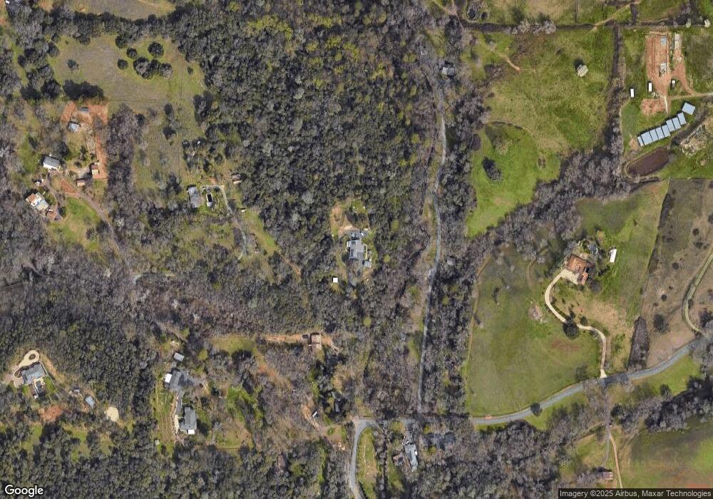
Map
Nearby Homes
- 11100 Valle Vista Ct
- 10157 Moran Dr
- 0 Millertown Rd Unit 225116242
- 2620 Vineyard Dr
- 0 Eclipse Mine Way
- 800 Millertown Rd
- 1257 Live Oak Ln
- 1240 Live Oak Ln
- 11853 Mount Vernon Rd
- 23 Larkspur Ave
- 63 Goldenrod Ave
- 303 Stone House Rd
- 10899 Ophir Rd
- 10455 Mount Vernon Rd
- 2500 Beacon Hill Dr
- 110 Marigold Ave
- 99 Marigold Ave
- 101 Marigold Ave
- 132 Lily Ave
- 11300 Kemper Rd
- 1397 Millertown Rd
- 1445 Millertown Rd
- 1391 Millertown Rd
- 1950 Vada Ranch Rd
- 1415 Millertown Rd
- 1440 Millertown Rd
- 1535 Millertown Rd
- 1420 Millertown Rd
- 1935 Vada Ranch Rd
- 10497 Bar Ranch Rd
- 1330 Millertown Rd
- 10498 Bar Ranch Rd
- 1990 Vada Ranch Rd
- 1315 Millertown Rd
- 11210 Valle Vista Ct
- 1500 Millertown Rd
- 1585 Millertown Rd
- 10477 Bar Ranch Rd
- 11340 Mount Vernon Rd
- 10500 Blue Grass Trail