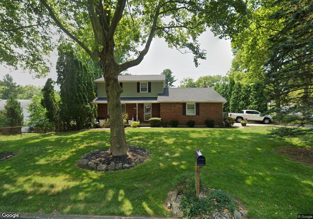
1401 Mine Lane Rd Easton, PA 18045
Old Orchard NeighborhoodEstimated Value: $351,000 - $451,000
3
Beds
3
Baths
1,811
Sq Ft
$226/Sq Ft
Est. Value
About This Home
This home is located at 1401 Mine Lane Rd, Easton, PA 18045 and is currently estimated at $409,401, approximately $226 per square foot. 1401 Mine Lane Rd is a home located in Northampton County with nearby schools including Palmer Elementary School, Easton Area Middle School, and Easton Area High School.
Ownership History
Date
Name
Owned For
Owner Type
Purchase Details
Closed on
Oct 26, 2004
Sold by
Solomon Michael
Bought by
Matthews Jamie
Current Estimated Value
Home Financials for this Owner
Home Financials are based on the most recent Mortgage that was taken out on this home.
Original Mortgage
$220,500
Outstanding Balance
$109,743
Interest Rate
5.74%
Mortgage Type
New Conventional
Estimated Equity
$299,658
Create a Home Valuation Report for This Property
The Home Valuation Report is an in-depth analysis detailing your home's value as well as a comparison with similar homes in the area
Home Values in the Area
Average Home Value in this Area
Purchase History
| Date | Buyer | Sale Price | Title Company |
|---|---|---|---|
| Matthews Jamie | $245,000 | -- |
Source: Public Records
Mortgage History
| Date | Status | Borrower | Loan Amount |
|---|---|---|---|
| Open | Matthews Jamie | $220,500 |
Source: Public Records
Tax History Compared to Growth
Tax History
| Year | Tax Paid | Tax Assessment Tax Assessment Total Assessment is a certain percentage of the fair market value that is determined by local assessors to be the total taxable value of land and additions on the property. | Land | Improvement |
|---|---|---|---|---|
| 2025 | $757 | $70,100 | $22,600 | $47,500 |
| 2024 | $6,212 | $70,100 | $22,600 | $47,500 |
| 2023 | $6,102 | $70,100 | $22,600 | $47,500 |
| 2022 | $6,010 | $70,100 | $22,600 | $47,500 |
| 2021 | $5,990 | $70,100 | $22,600 | $47,500 |
| 2020 | $5,987 | $70,100 | $22,600 | $47,500 |
| 2019 | $5,902 | $70,100 | $22,600 | $47,500 |
| 2018 | $5,801 | $70,100 | $22,600 | $47,500 |
| 2017 | $5,664 | $70,100 | $22,600 | $47,500 |
| 2016 | -- | $70,100 | $22,600 | $47,500 |
| 2015 | -- | $70,100 | $22,600 | $47,500 |
| 2014 | -- | $70,100 | $22,600 | $47,500 |
Source: Public Records
Map
Nearby Homes
- 4 Middle Ct
- 30 Wilden Dr
- 1701 Chain Dam Rd
- 3772 Fleetwood Dr
- 53 Blenheim Dr
- 3209 Oregon St
- 3660 Southwood Dr
- 3920 Rau Ln Unit 6
- 353 Wedgewood Dr
- 3930 Rau Ln Unit 5
- 360 Wedgewood Dr
- 2734 Tamlynn Ln
- 0 Stewart St
- 443 Arlington St
- 530 Milford St
- 2463 Hillside Ave
- 0 S Greenwood Ave Unit 11 737666
- 1049 S 25th St
- 301 S Watson St
- 4009 Camden St
- 0 Mine Lane Rd
- 108 Jonathan Dr
- 1405 Mine Lane Rd
- 1400 Mine Lane Rd
- 101 Jonathan Dr
- 9 Applewood Dr
- 5 Applewood Dr
- 114 Jonathan Dr
- 1440 Mine Lane Rd
- 109 Jonathan Dr
- 1360 Mine Lane Rd
- 3501 Southwood Dr
- 1350 Mine Lane Rd
- 98 Jonathan Dr
- 1446 Mine Lane Rd
- 13 Applewood Dr
- 115 Jonathan Dr
- 3503 Southwood Dr
- 120 Jonathan Dr
- 96 Jonathan Dr