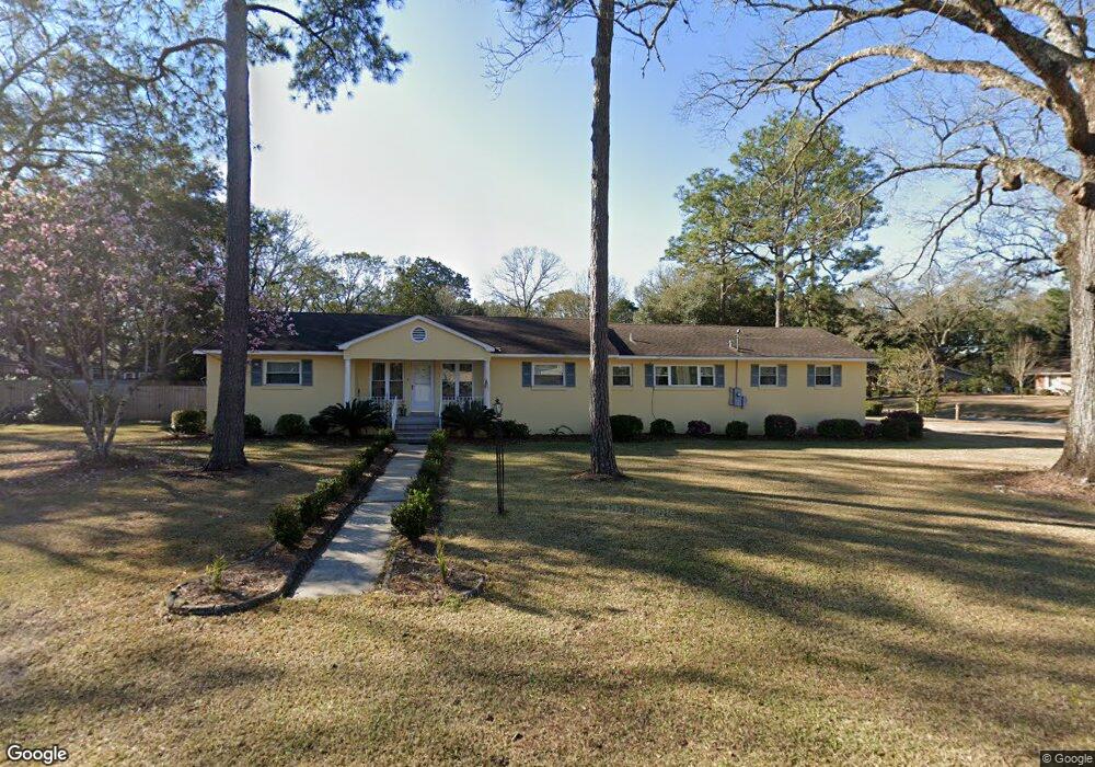
1401 Polaris Dr Mobile, AL 36693
Skyland Park NeighborhoodEstimated Value: $175,000 - $207,295
--
Bed
2
Baths
1,830
Sq Ft
$104/Sq Ft
Est. Value
About This Home
This home is located at 1401 Polaris Dr, Mobile, AL 36693 and is currently estimated at $190,824, approximately $104 per square foot. 1401 Polaris Dr is a home located in Mobile County with nearby schools including Kate Shepard Elementary School, Burns Middle School, and Murphy High School.
Ownership History
Date
Name
Owned For
Owner Type
Purchase Details
Closed on
Jul 1, 2025
Sold by
Bleicher Julia Cannon and Cannon Jimmy Marrell
Bought by
Reed Joshua Marrell
Current Estimated Value
Home Financials for this Owner
Home Financials are based on the most recent Mortgage that was taken out on this home.
Original Mortgage
$136,000
Outstanding Balance
$135,065
Interest Rate
6.03%
Mortgage Type
New Conventional
Estimated Equity
$55,759
Purchase Details
Closed on
Dec 5, 2000
Sold by
Cannon Boggess H and Cannon Patricia
Bought by
Cannon Marion Patricia Schmohl and Cannon Jimmy Marrell
Create a Home Valuation Report for This Property
The Home Valuation Report is an in-depth analysis detailing your home's value as well as a comparison with similar homes in the area
Home Values in the Area
Average Home Value in this Area
Purchase History
| Date | Buyer | Sale Price | Title Company |
|---|---|---|---|
| Reed Joshua Marrell | $171,000 | None Listed On Document | |
| Cannon Marion Patricia Schmohl | $65,000 | -- |
Source: Public Records
Mortgage History
| Date | Status | Borrower | Loan Amount |
|---|---|---|---|
| Open | Reed Joshua Marrell | $136,000 |
Source: Public Records
Tax History Compared to Growth
Tax History
| Year | Tax Paid | Tax Assessment Tax Assessment Total Assessment is a certain percentage of the fair market value that is determined by local assessors to be the total taxable value of land and additions on the property. | Land | Improvement |
|---|---|---|---|---|
| 2024 | $896 | $14,940 | $3,100 | $11,840 |
| 2023 | $0 | $12,880 | $2,750 | $10,130 |
| 2022 | $0 | $11,520 | $2,500 | $9,020 |
| 2021 | $0 | $11,520 | $2,500 | $9,020 |
| 2020 | $0 | $11,190 | $2,100 | $9,090 |
| 2019 | $0 | $11,120 | $2,100 | $9,020 |
| 2018 | $0 | $11,120 | $0 | $0 |
| 2017 | $0 | $11,120 | $0 | $0 |
| 2016 | -- | $11,340 | $0 | $0 |
| 2013 | -- | $11,880 | $0 | $0 |
Source: Public Records
Map
Nearby Homes
- 1418 Polaris Dr
- 4260 Aldebaran Way
- 4270 Taurus Dr
- 2862 Aldebaran Way W
- 5105 Geoffrey Dr
- 5114 Geoffrey Dr
- 5116 Geoffrey Dr
- 2705 Woodcliff Dr E Unit 1
- 4857 Woodcliff Dr N
- 5217 Perin Rd
- 3105 Grishilde Dr
- 3075 Longleaf Dr
- 3401 Emelye Dr
- 2813 Longleaf Dr
- 1572 Hillandale Dr
- 5504 Timberline Ridge
- 5026 Burma Rd W
- 5508 White Pine Dr
- 1212 Belle Chene Dr
- 5536 Cross Creek Dr
- 1405 Polaris Dr
- lot 15 Polaris Dr
- 1359 Polaris Dr
- 1400 Vega Dr
- 1409 Polaris Dr
- 1400 Polaris Dr
- 1404 Polaris Dr
- 4306 Rigel Ln
- 1404 Vega Dr
- 1408 Polaris Dr
- 4280 Vega Dr
- 1358 Polaris Dr
- 1413 Polaris Dr
- 1408 Vega Dr
- 1412 Polaris Dr
- 3011 Demetropolis Rd Unit 10
- 1354 Polaris Dr
- 4276 Vega Dr
- 1417 Polaris Dr
- 2967 Demetropolis Rd Unit 3