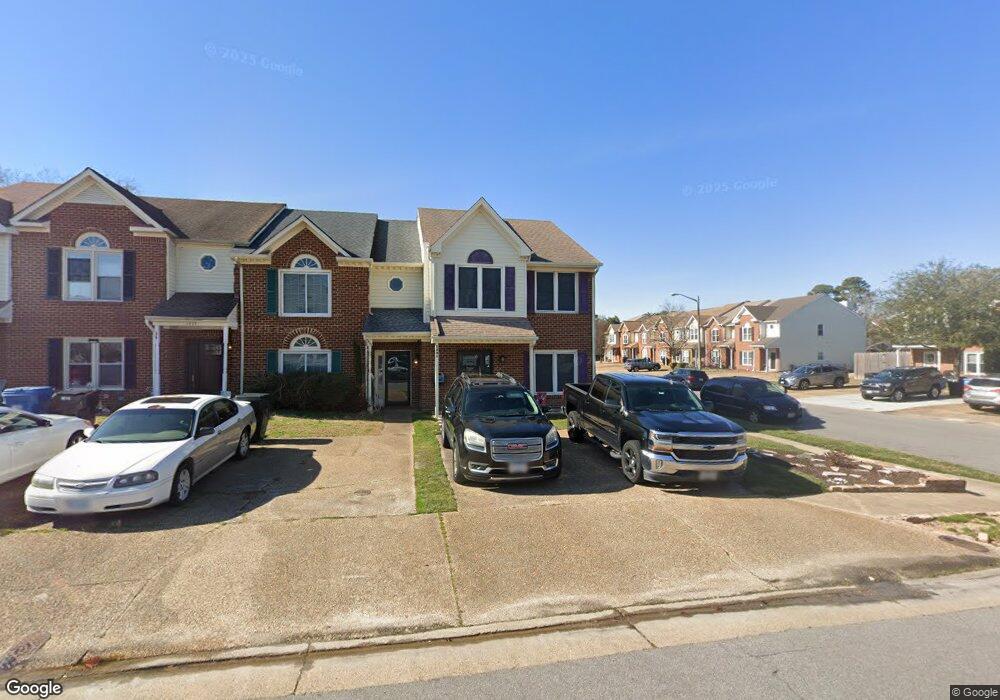
1401 Sampson Ln Virginia Beach, VA 23462
Larkspur NeighborhoodEstimated Value: $296,000 - $352,000
3
Beds
3
Baths
1,630
Sq Ft
$193/Sq Ft
Est. Value
About This Home
This home is located at 1401 Sampson Ln, Virginia Beach, VA 23462 and is currently estimated at $314,284, approximately $192 per square foot. 1401 Sampson Ln is a home located in Virginia Beach City with nearby schools including Kempsville Meadows Elementary School, Larkspur Middle School, and Green Run High School.
Ownership History
Date
Name
Owned For
Owner Type
Purchase Details
Closed on
Dec 1, 2017
Sold by
Bazzle David A and Bazzle Susan
Bought by
Trent Taylor D and Trent Kathryn H
Current Estimated Value
Home Financials for this Owner
Home Financials are based on the most recent Mortgage that was taken out on this home.
Original Mortgage
$187,210
Outstanding Balance
$157,614
Interest Rate
3.94%
Mortgage Type
New Conventional
Estimated Equity
$156,670
Purchase Details
Closed on
May 31, 2005
Sold by
Reed Donald A
Bought by
Bazzle David A and Watters Susan L
Home Financials for this Owner
Home Financials are based on the most recent Mortgage that was taken out on this home.
Original Mortgage
$205,000
Interest Rate
5.83%
Mortgage Type
New Conventional
Purchase Details
Closed on
Mar 30, 2005
Sold by
Sheldon John G
Bought by
Reed Donald A
Create a Home Valuation Report for This Property
The Home Valuation Report is an in-depth analysis detailing your home's value as well as a comparison with similar homes in the area
Home Values in the Area
Average Home Value in this Area
Purchase History
| Date | Buyer | Sale Price | Title Company |
|---|---|---|---|
| Trent Taylor D | $193,000 | Attorney | |
| Bazzle David A | $205,000 | -- | |
| Reed Donald A | $205,000 | -- |
Source: Public Records
Mortgage History
| Date | Status | Borrower | Loan Amount |
|---|---|---|---|
| Open | Trent Taylor D | $187,210 | |
| Previous Owner | Bazzle David A | $205,000 |
Source: Public Records
Tax History Compared to Growth
Tax History
| Year | Tax Paid | Tax Assessment Tax Assessment Total Assessment is a certain percentage of the fair market value that is determined by local assessors to be the total taxable value of land and additions on the property. | Land | Improvement |
|---|---|---|---|---|
| 2025 | $2,614 | $288,300 | $100,000 | $188,300 |
| 2024 | $2,614 | $269,500 | $100,000 | $169,500 |
| 2023 | $2,383 | $240,700 | $75,600 | $165,100 |
| 2022 | $2,004 | $202,400 | $63,000 | $139,400 |
| 2021 | $1,925 | $194,400 | $53,000 | $141,400 |
| 2020 | $1,887 | $185,500 | $51,000 | $134,500 |
| 2019 | $1,826 | $181,500 | $51,000 | $130,500 |
| 2018 | $1,820 | $181,500 | $51,000 | $130,500 |
| 2017 | $1,666 | $166,200 | $51,000 | $115,200 |
| 2016 | $1,598 | $161,400 | $51,000 | $110,400 |
| 2015 | $1,648 | $166,500 | $51,000 | $115,500 |
| 2014 | $1,502 | $161,700 | $66,100 | $95,600 |
Source: Public Records
Map
Nearby Homes
- 1409 Sampson Ln
- 1501 Stonemoss Ct
- 4113 Smokey Lake Dr
- 624 Pinebrook Dr
- 617 New Lake Ct
- 4608 Player Ln
- 644 Waters Dr
- 713 Waters Dr
- 610 Waters Dr
- 710 Waters Dr
- 4412 Barkingdale Dr
- 615 Thomas Nelson Dr
- 674 Masefield Cir
- 512 Edwin Dr
- 4221 Westchester Cir
- 4193 Thistle Cir
- 4549 Leamore Square Rd Unit 219
- 847 Mission Ave
- 869 Point Way
- 985 Lambourne Ln
- 1403 Sampson Ln
- 1405 Sampson Ln
- 1407 Sampson Ln
- 1407 Sampson Ln Unit Lane
- 4235 Minnard Ct
- 4237 Minnard Ct
- 1411 Sampson Ln
- 4221 Minnard Ct
- 4230 Minnard Ct
- 4228 Minnard Ct
- 4232 Minnard Ct
- 4226 Minnard Ct
- 4224 Minnard Ct
- 4241 Minnard Ct
- 4219 Minnard Ct
- 1413 Sampson Ln
- 4234 Minnard Ct
- 4222 Minnard Ct
- 4236 Minnard Ct
- 4217 Minnard Ct